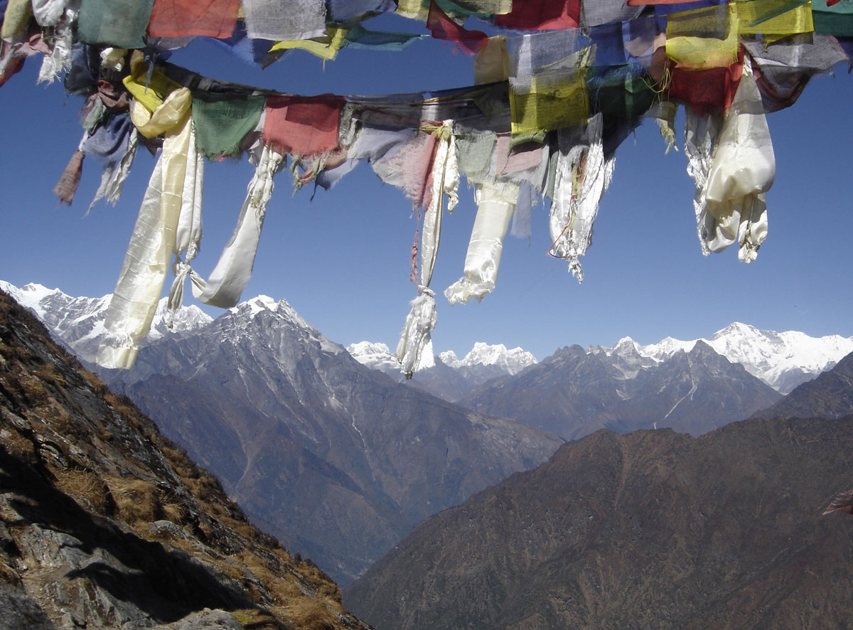
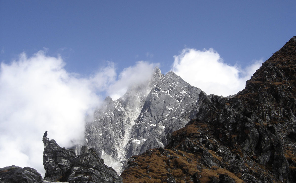
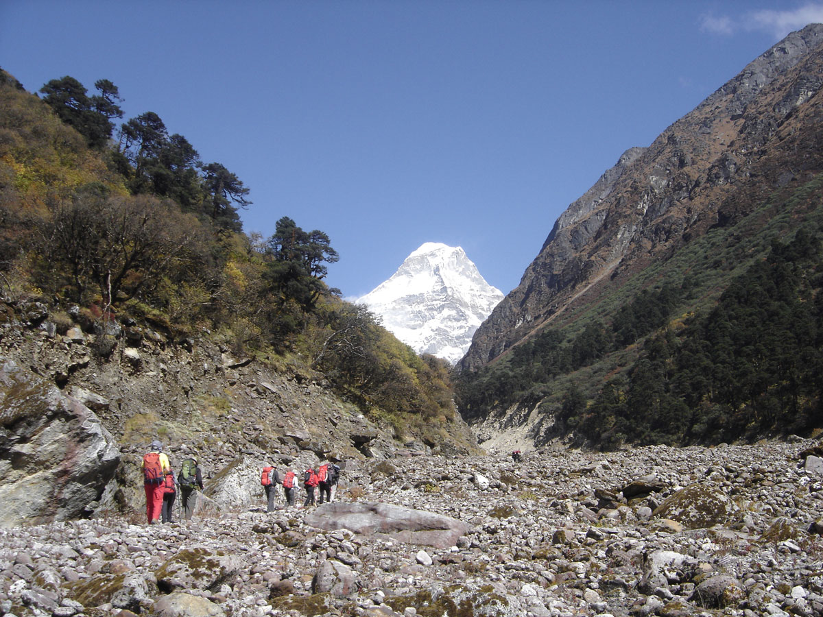
Prokletije / Bjeshkët e Nemuna

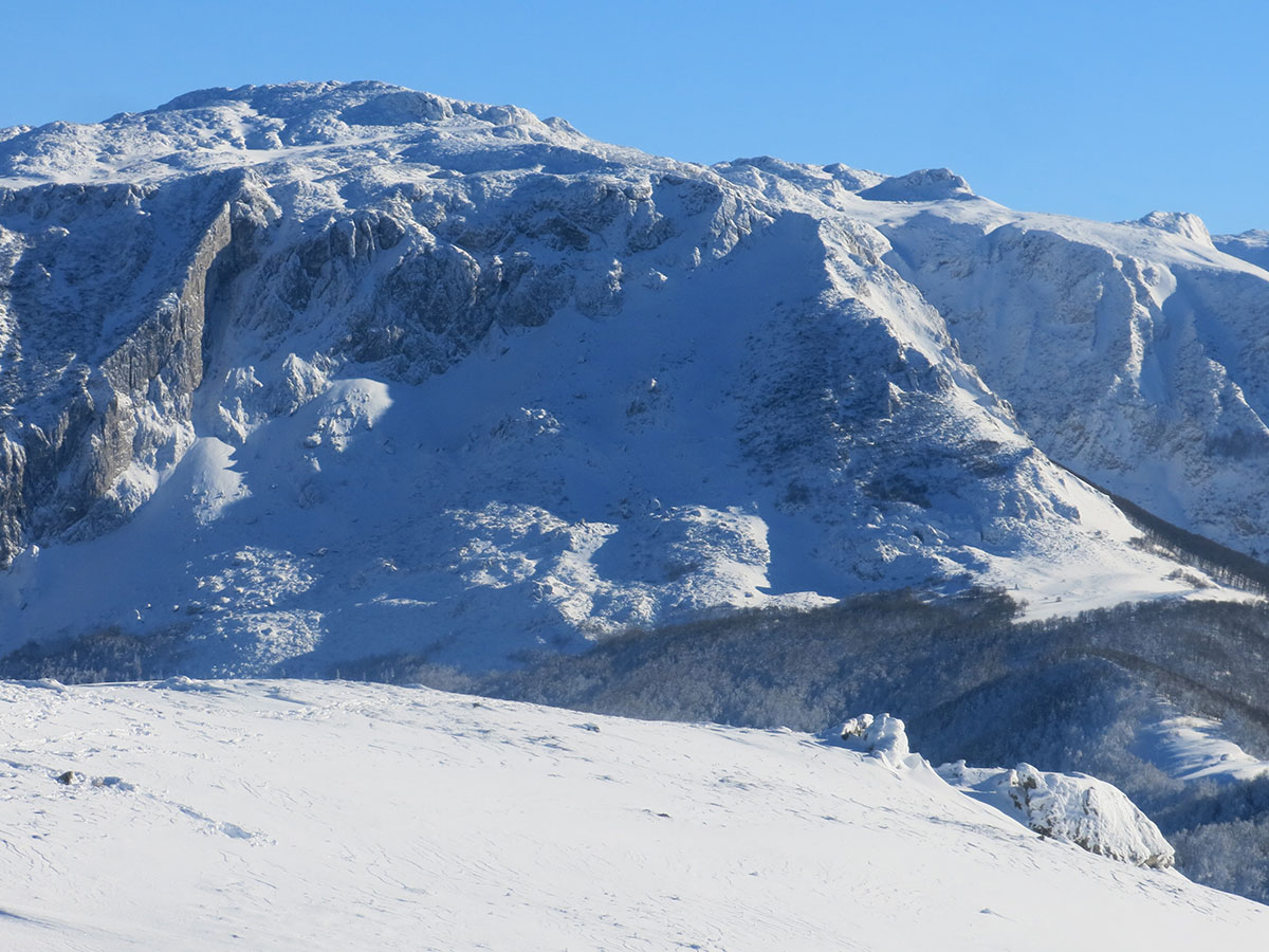
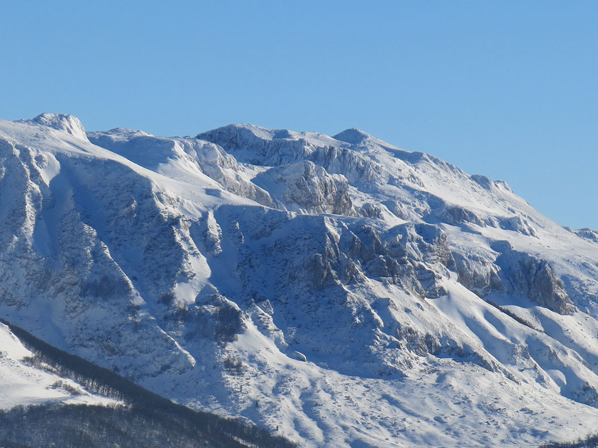
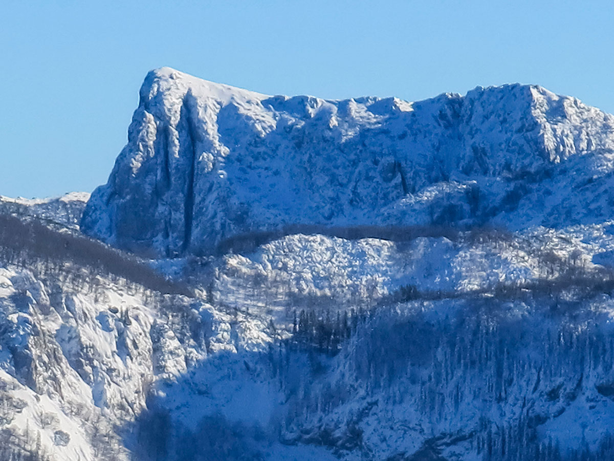
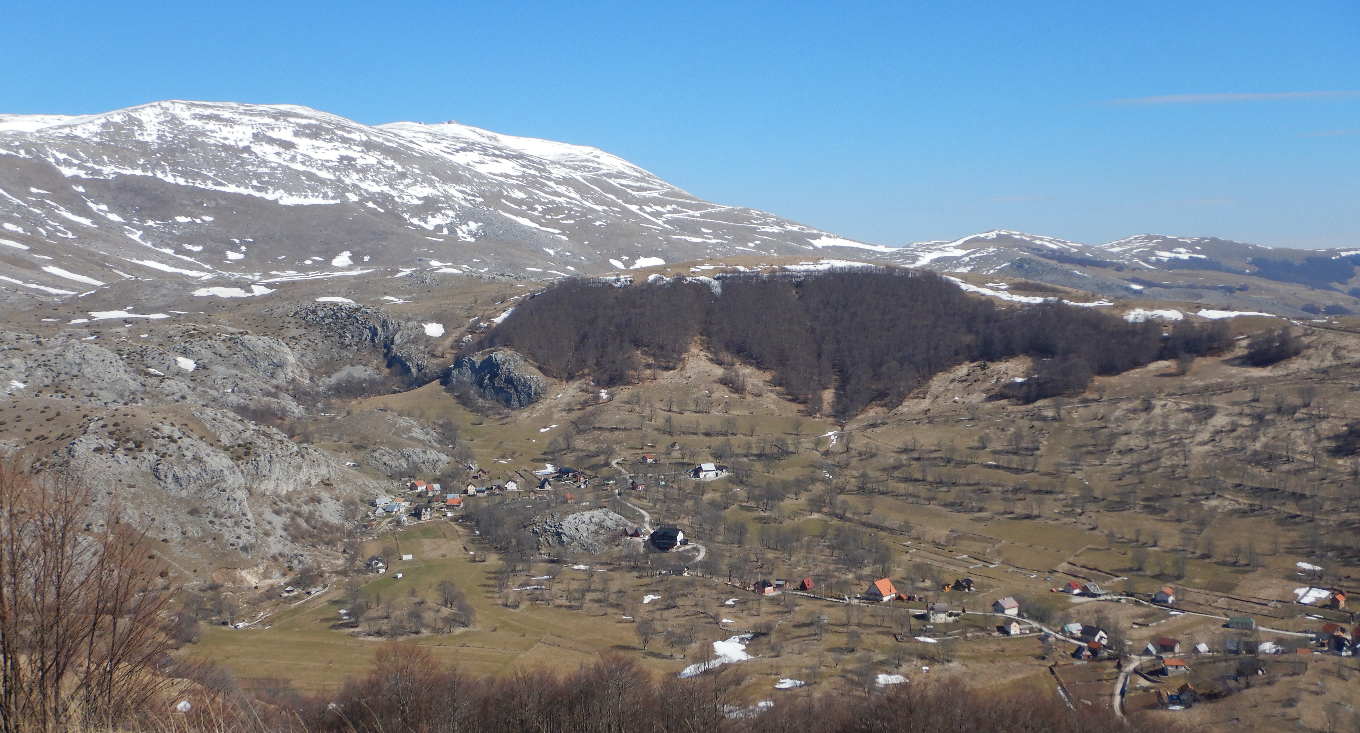
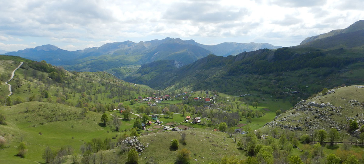
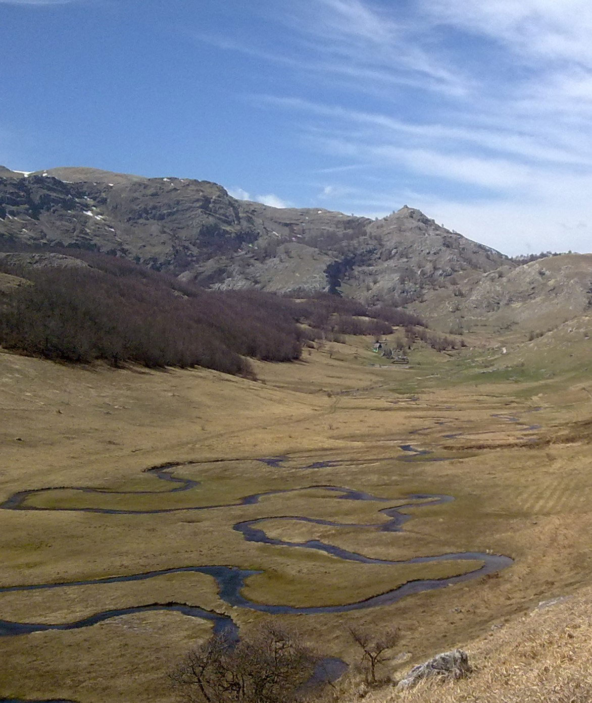
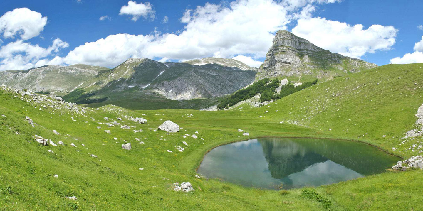
The Prokletije (Albanian: Bjeshkët e Nemuna) are part of the Dinaric Alps, forming its rugged southeastern peripheral group that ends at the Drin River in Albania. This mountain space, unique in both the Balkans and Europe, is administratively divided into three parts: the Montenegrin, Albanian, and Kosovar Prokletije.

For a long period, these were practically “forbidden mountains.” Following the political conflict triggered by the 1948 Informbiro Resolution, the state border between the SFR Yugoslavia and the Republic of Albania was strictly militarized. For five decades, until 1998, this high-mountain region was home to the most heavily guarded border in Europe.

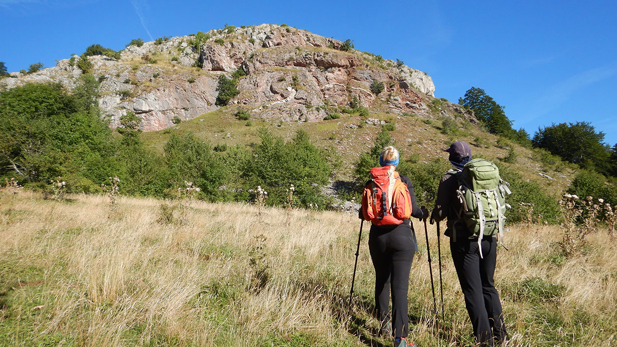
Thanks to the mountaineering transversal established in 1957 by the PD “Prokletije” Peć (Albanian: Peja), many hikers were able to discover the beauty of the massif on the Yugoslav side. Meanwhile, the Albanian side remained largely unexplored, shrouded in mystery.

With the independence of Montenegro and Kosovo, the borders with Albania were demilitarized and placed under the supervision of border police. This finally realized the noble, long-held vision of “Prokletije Without Borders.” For us mountaineers, this was a moment of great joy—the chance to finally explore the entire massif across all three countries.

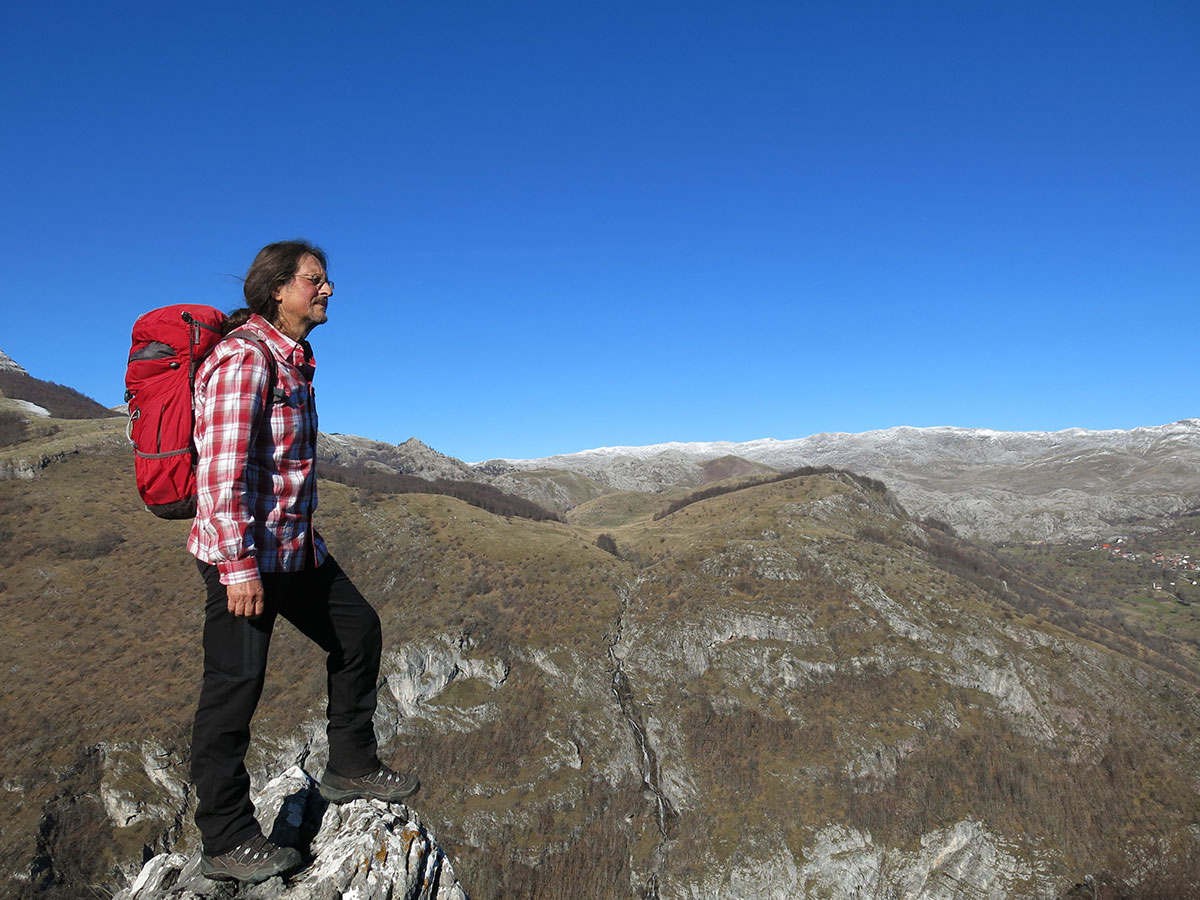
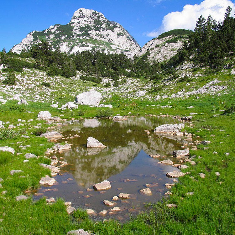
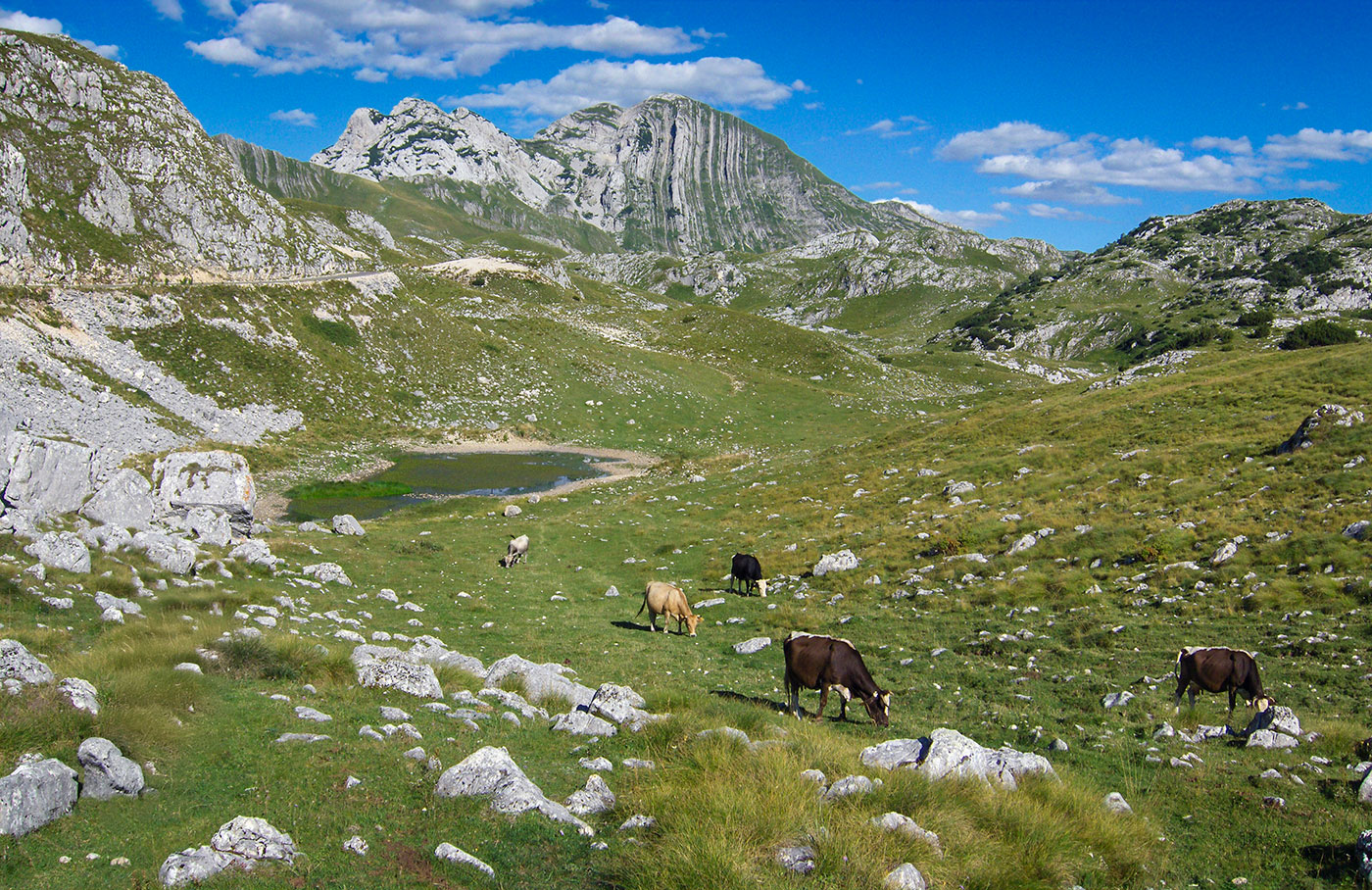
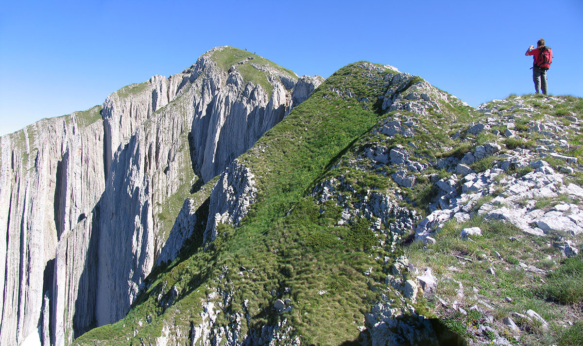
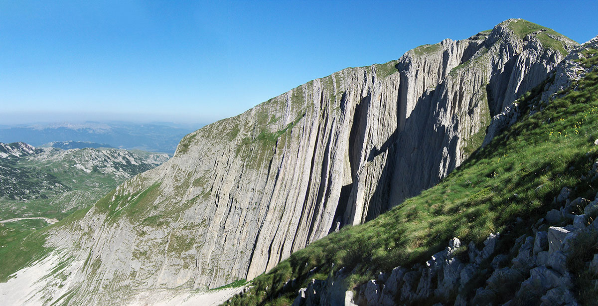
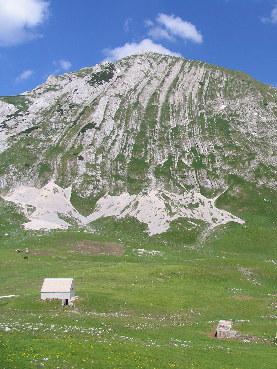
Many nature lovers share the same sentiment: these mountains possess a unique beauty and a “wild romance” found nowhere else. They are often considered the most stunning mountains in the Balkans. Because of this untouched wilderness, Prokletije is home to three National Parks: in the Plav-Gusinje region of Montenegro, and in the Valbona and Theth valleys of Albania.

Text and photography by: Braco Babić

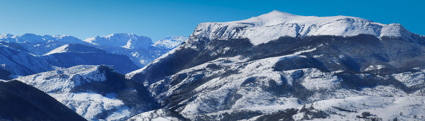
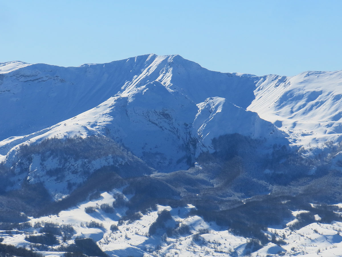
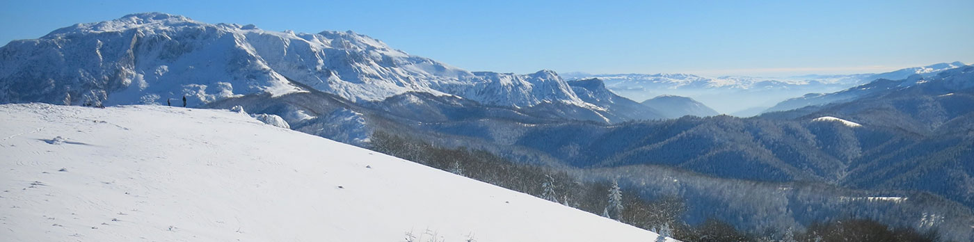
Prokletije, from left to right: Maja e Jezercës (2,694 m a.s.l.), Maja e Kolacit (2,490 m a.s.l.), Maja e Malisorës (2,421 m a.s.l.), Maja Bojs (2,461 m a.s.l.), and Maja Scokistes (2,353 m a.s.l.).

The Prokletije (Albanian: Bjeshkët e Nâmuna) form the southeastern peripheral group of the Dinaric Alps, reaching their end at the Drin River in Albania. This unique mountain region—one of the most distinct in Europe—is administratively divided into three sections: the Montenegrin, Albanian, and Kosovar Prokletije. They stretch along the borders of eastern Montenegro, northern Albania, and the western and southern parts of Kosovo, covering a total area of approximately 3,500 km². The largest portion of the range lies within Albania, while the remaining third is shared between Montenegro and Kosovo. The highest peak of the entire Prokletije range is Maja e Jezercës (2,694 m a.s.l.) in Albania, which also holds the title of the highest peak in the entire Dinaric Alps. Each section of the range boasts its own giants: Đerovica / Maja e Gjeravicës (2,656 m a.s.l.) is the highest peak of the Kosovar Prokletije, the highest point in Kosovo, and the second-highest peak in the entire Prokletije massif. Zla Kolata / Kollata e Keqe (2,534 m a.s.l.) is the highest peak of the Montenegrin Prokletije and the highest point in all of Montenegro.

The oldest recorded name for these mountains is Mons Bertiscus, appearing on a map created by the ancient Greek mathematician, geographer, and astronomer Claudius Ptolemaeus (83 – 161 BC). In some later ancient maps, the name Beriseldi appears instead of Bertiscus.

For centuries, the Prokletije remained a mystery to the outside world. It wasn't until the first half of the 19th century that the first naturalists and explorers arrived, led by geographers, biologists, and geologists. The French-Austrian scientist Ami Boué (1794 – 1881) described the Prokletije as: “The most inaccessible and wildest mountain range on the Balkan Peninsula.” Similarly, the German botanist and phytogeographer August Grisebach (1814 – 1879) dubbed them the “Southern Alps of Europe,” a synonym that perfectly captures the character of this mountain group.

The Serbian geographer and geologist, Prof. Dr. Jovan Cvijić (1865 – 1927), conducted significant field research in the karst landscapes of the Prokletije. He noted that this is one of the few mountain groups in the Balkans where the effects of the glacial period are so vividly visible—with deep, wide valleys carved and shaped by the movement of glaciers, from which rise many rocky peaks of fascinating forms.

From a mountaineering perspective, the Prokletije were once very rarely visited. It was only after the establishment of the Prokletije Mountaineering Transversal in 1957 that we saw a significant increase in hikers on the Yugoslav side of the range. To make the peaks more accessible, mountain huts were built at key locations: the Jelinak hut in Bjeluha, and others in Boga, Čakor, Pločice (below Đerovica), Slane Poljane (Ljumbard mountain), and the Grebaja valley.

The Prokletije were documented by renowned Yugoslav mountaineers and explorers, including Prof. Dr. Branimir Gušić, Prof. Dr. Željko Poljak, Branislav Cerović, Rado Kočevar, Mirko Marković, Miodrag Božinović, Branko Kotlajić, Velibor Stanišić, Stanislav Gilić, Uzeir Beširović, Franci Savenc, and many others. Their travelogues, published in mountaineering journals such as HPS’s “Naše planine” and PZS’s “Planinski vestnik”, were the most-read stories of their time. These writings finally lifted the veil of mystery from the unknown expanses of the Prokletije.

The relief of the Prokletije is rugged, with numerous high and striking peaks, deep gorges, steep slopes, river valleys of the Alpine type, and other natural phenomena. On the Prokletije, many high peaks are located on the border line of three states, and in the following list, next to the name and altitude, stands the mark: CG (Montenegro), K (Kosovo), A (Albania).

The highest peaks in the Montenegrin part are: Zla Kolata / Kollata e Keqe (2,534 m) – CG / A, Dobra Kolata / Kollata e Mires (2,528 m) – CG / A, Rosni vrh / Maja Rosit (2,524 m) – CG / A, Veliki vrh / Kremeni vrh / Maja e Gurte e Zjarmit (2,490 m), Sjeverni vrh / Maja e Balles (2,460 m), Južni vrh / Zlovrh / Maja e Keqe (2,441 m), Crni krš / Bandera (2,426 m), Maja e Preht (2,408 m), Pasji vrh (2,405 m) – CG / K, Hajla (2,403 m) – CG / K, Krš Bogićevica (2,374 m), Orlov krš / Maja e Male (2,372 m) – CG / K, Tromeđa / Trekufir (2,366 m) – CG / A / K, Žljeb (2,365 m), Veliki Hridski krš (2,358 m), Starac (2,352 m), etc.

The highest peaks in the Kosovar part are: Maja e Gjeravicës / Đerovica (2,656 m), Maja e Gusanit (2,539 m) – K / A, Marijash / Bogdaš (2,533 m), Guri i Kuq / Žuti kamen (2,522 m), Maja e Ropës (2,501 m), Guri i Zi (2,470 m), Veternik / Koprivnik (2,461 m), Maja e Barl (2,425 m) – K / A, Velika Podina (2,424 m), Vrh Čvrlje (2,413 m), Pasji vrh (2,405 m) – K / CG, Maja Bogicaj (2,404 m) – K / A, Hajla (2,403 m) – K / CG, Rusolija (2,381 m), Maja Streoc (2,377 m), Maja e Male / Orlov krš (2,372 m) – K / CG, Tromeđa / Trekufir (2,366 m) – CG / A / K, Žljeb (2,365 m), Maja e ram arucit (2,358 m) – K / A, etc.

The highest peaks in the Albanian part are: Maja e Jezercës / Jezerski vrh (2,694 m), Maja Grykat e Hapëta (2,625 m), Maja Radohines (2,570 m), Maja e Popllukës (2,569 m), Maja Brijaset (2,567 m), Maja e Paces (2,561 m), Maja e Hekurave (2,560 m), Podi e Kolatës / Ravna Kolata (2,556 m), Maja e Madhe (2,554 m), Maja Koprishtit (2,554 m), Maja e Lagovjet (2,545 m), Maja e Fat (2,543 m), Kollata e Keqe / Zla Kolata (2,534 m) – A / CG, Maja Gavnit (2,530 m), Kollata e Mires / Dobra Kolata (2,528 m) – A / CG, Maja e Ismet Bruca (2,525 m), Maja Rosit / Rosni vrh (2,524 m) – A / CG, Maja Vinsens (2,517 m), Maja e Kokervhakes (2,508 m), Maja Shkurz (2,499 m), Maja Reshkulit (2,498 m), Maja e Livadit (2,496 m), Maja e Kolacit (2,490 m), Maja e Ragamit (2,472 m), Maja e Aljis (2,471 m), Maja Preht (2,466 m), Maja Bojs (2,461 m), Maja Prozmit (2,452 m), Maja Vukoces (2,450 m), Maja Sjapit (2,450 m), Maja Xhevarhirit (2,445 m), Maja Kuci (2,438 m), Maja e Cet Harushes (2,424 m), Maja e Malisorës (2,421 m), Maja e Boshit (2,416 m), Maja Nigvacit (2,412 m), Maja e Desles (2,403 m), Maja e Zez (2,400 m), etc.

Across the wider area of the Prokletije, three distinct climate zones stand out: temperate-continental (500 – 800 m a.s.l.), sub-mountain (800 – 1,200 m a.s.l.), and mountain (above 2,000 m a.s.l.). These zones are characterized by short, fresh summers and long, moderately cold winters, with a relatively high annual sum of precipitation. Autumns here are warmer than springs, and the vegetation period is notably short.

The Prokletije have always captured the attention of botanists and scientists as an inexhaustible field of research. Rare plant species, medicinal herbs, and wild fruits represent the natural wealth of this range. Many medicinal, honey-bearing, aromatic, and vitamin-rich species thrive in this pristine space. The most well-known medicinal plants include: wild thyme, yarrow, rose hip, hawthorn blossom, dandelion, horsetail, marshmallow, nettle, sweet fern, chicory, gentian, hellebore, valerian, lily of the valley, primrose, and others. Forest and field fruits are also significantly represented: blueberries, wild strawberries, raspberries, blackberries, juniper, and many species of edible mushrooms (chanterelle, porcini, saffron milk cap, oyster mushroom, morel, parasol mushroom, button mushroom, etc.).

The Prokletije abound in a rich and diverse fauna of mammals, birds, fish, amphibians, and insects. The most significant game species inhabiting the high-mountain zone are the brown bear, wolf, wild boar, chamois, and roe deer. Small game includes the fox, hare, badger, polecat, otter, marten, and squirrel. The bird population is equally impressive, featuring the golden eagle, short-toed snake eagle, common buzzard, imperial eagle, mountain eagle, griffon vulture, vulture, western capercaillie, black grouse, northern goshawk, peregrine falcon, Eurasian hobby, grey partridge, rock partridge, common quail, hazel grouse, woodcock, and more.

The floristic composition of the Prokletije includes numerous rare, endemic, relict, and protected plant species. Among them are Balkan, European, and world-class floristic rarities. In addition to herbaceous plants, there are many species of relict and endemic dendroflora (trees) that attract the attention of naturalists and hikers alike. Of particular interest are the Bosnian pine (munika), Macedonian pine (molika), yew, and mountain maple.    

Prokletije su bogate vodom i čine razvođe jadranskog i crnomorskog sliva. U nižim predjelima su izvorišta velikih rijeka: Ljumi i Valbons (Valbona), Ljumi i Shales (Lesnices), Ljumi i Curajt (Nikajt), Ljumi i Cem (Cijevna), Lim, Tara, Ibar, Drinit të Bardhë (Bijeli Drim), Erenik (Ribnik), Pećka Bistrica i Dečanska Bistrica.

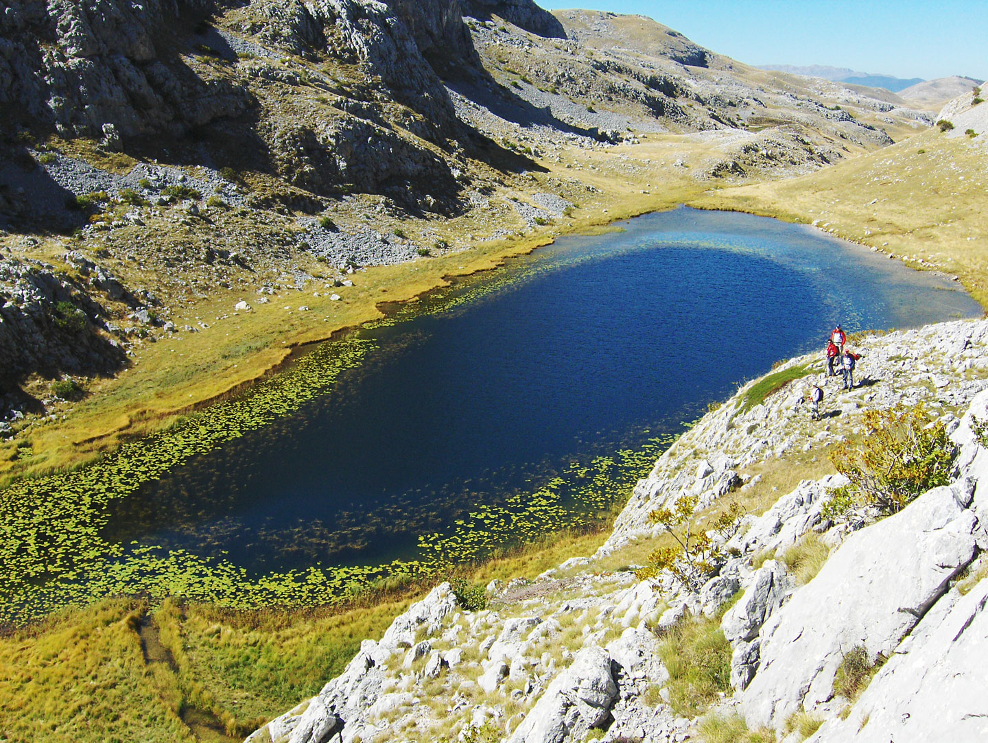
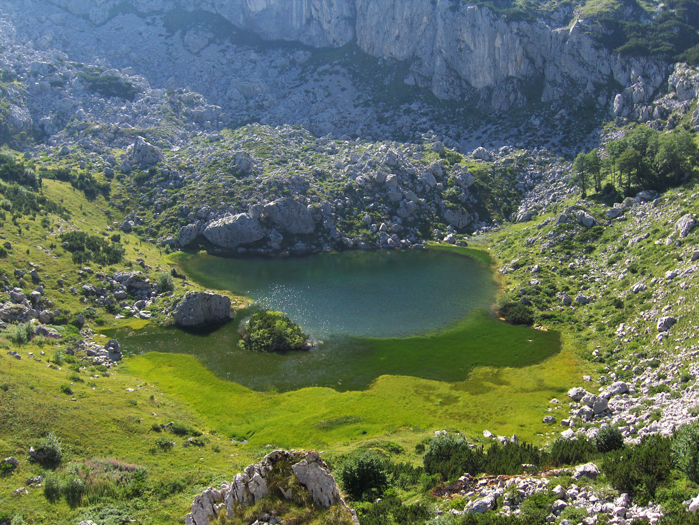
Na Prokletijama je veliki broj lijepih jezera ledenjačkog porijekla. Na području Crne Gore: Plavsko jezero (906 m), Visitorsko jezero (1734 m), Hridsko jezero (1968 m), Bukumirsko jezero (1450 m) i Rikavačko jezero (1313 m).
Na području Kosova: Kučiško jezero (1850 m) i Dreljsko jezero (1750 m) na Malji necinat, Veliko jezero i Malo jezero (2350 m) pod vrhom Đeravica / Maja e Gjeravicës, Tropojsko jezero (2220 m) pod vrhom Maja e ram arucit i Veliko jezero (2340 m) pod vrhom Maja e Gusanit.
Na području Albanije: u Doberdolu je smještena veća skupina jezera na nadomorskoj visini od 1900 – 2100 m, zatim Buni i Jezercës (2200 m) skupina od šest jezera smještena u slikovitoj dolini pod najvišim vrhom Prokletija – Jezerski vrh / Maja e Jezercës.

The Prokletije Mountaineering Transversal

  • Founder: PD “Đerovica“ Peć / alb. Peja
  • Established: 1957
  • Duration: 12 days
  • Number of Checkpoints: 27 CP
  • Checkpoint Names and Altitudes: Peć / alb. Peja (550 m), Hasanov vrh (1,871 m), peak Rusolija / Žljeb (2,381 m), peak Ahmica / Štedim (2,272 m), peak Hajla (2,403 m), mountain hut in Boga (1,540 m), tourist house in Kućište (1,110 m), Jelinak mountain hut in the Bjeluha valley (1,410 m), peak Vaganica (2,112 m), peak Planinica (2,077 m), mountain hut on the Čakor pass (1,849 m), peak Djevojački krš (2,046 m), peak Crni krš / Bandera (2,426 m), peak Maja e Bajrakut (2,078 m), peak Bogdaš / alb. Marijash (2,533 m), peak Hridski krš / Bogićevica (2,358 m), Hridsko Lake (1,968 m), katun Kofiljača (1,650 m), Plav (945 m), Vokšanske pločice mountain hut (2,070 m), peak Đerovica / alb. Maja e Gjeravicës (2,656 m), Kućiško Lake (1,850 m), peak Žuti kamen (2,522 m), mountain hut on Slane poljane / Ljumbard mountain (1,520 m), peak Veternik (2,461 m) and peak Krš Čvrlje (2,413 m) on Koprivnik, Dečani (550 m).

Note: Following the dissolution of SFR Yugoslavia in 1991, the Prokletije Transversal is no longer in function and has not been restored to this day. 

Mountaineering Calendar: Traditional Ascents and Expeditions

January | Traditional Memorial Ascent to Hajla (2,403 m) Dedicated to Safet Mavrić, an alpinist from Novi Pazar who perished during a winter climb near the summit.

  • Access: Rožaje (Montenegro).
  • Route: Bandžov hut (1,479 m) – Katun Brahim beg – Grope hut (1,880 m) – Mala gora pass – ridge walk northwest to the summit.
  • Duration: 5 hours (one way).
  • Elevation Gain: 924 m.
  • Organizer: PSK “Hajla“ Rožaje.

March | Winter Expedition to the Highest Peak of the Dinarides – Maja e Jezercës (2,694 m) A high-altitude tour involving two nights of winter camping (bivouacking) near the former border outpost at Vusanjski Zastan (Montenegro) or in the Buni e Jezercës valley (Albania).

  • Access: Gusinje (Montenegro).
  • Route: Gornje Vusanje (980 m) – Oko Skakavice spring – Ropojana valley – Vusanjski Zastan (1,350 m) – Border stone B17 (1,774 m) – Buni i Jezercës (1,792 m) – Maja e Jezercës summit.
  • Duration: 6 hours (one way).
  • Elevation Gain: 1,714 m.
  • Organizers: Mountaineering Association of Montenegro and PD “Hrid“ Plav.

March | Traditional Memorial Ascent to Očnjak / Maja njeri e kriyte – “The Frozen Man” (2,185 m) Dedicated to Zvonimir Blažina, a Belgrade alpinist who, along with Dušan Močilnik, completed the first winter ascent of this peak in 1963.

  • Access: Gusinje (Montenegro).
  • Route: “Branko Kotlajić“ hut (1,175 m) in Grbaja – Suljova česma – junction for Lugu e Kuq – right toward the eastern ridge – final ascent via snowy ledges and broken rock.
  • Note: The final climb is highly demanding due to exposure and is intended only for experienced climbers with proper winter gear.
  • Duration: 6 hours (one way).
  • Elevation Gain: 1,010 m.
  • Organizers: Belgrade Mountaineering Association, PD “Radnički,“ and PD “Pobeda“ Belgrade.

May | Memorial Ascent to Karaula (1,915 m) Dedicated to Zijo Ibrahimagić, a mountaineer from Gusinje and long-time president of PD “Karanfil.“

  • Access: Gusinje (Montenegro).
  • Route: “Branko Kotlajić“ hut (1,175 m) in Grbaja valley – marked “border trail” via serpentines to the pass (1,740 m) – right below the south face of Karaula (avoid the cliffs!) through the pine stands to the summit.
  • Duration: 2.5 hours (one way).
  • Elevation Gain: 740 m.
  • Organizer: PK “Karanfil“ Gusinje.

June | “Peaks of the Balkans” (PoB) Cross-Border Trekking With the support of GTZ (German Technical Cooperation), this 130 km circular trail connects the most beautiful valleys across Montenegro, Kosovo, and Albania. The trek covers 6,500 m of total elevation gain over 10 days.

  • The Route: Peja – Miliševac – Babino polje – Plav – Gusinje – Vusanje – Theth – Valbona – Doberdol – Peja.
  • Tours are often organized in two stages:
    • Stage 1: Peja – Katun Nećinat – Kućište Lake – Babino polje – Plav.
    • Stage 2: Plav – Gusinje – Vusanje – Theth – Valbona – Qafa Preslopit – Vusanje.

June | Ascent to Guri i Kuq / formerly Žuti kamen (2,525 m)

  • Access: Peja (Kosovo).
  • Route: Katun Nećinat and Drešajt (1,450 m) – Kućište Lake (1,850 m) – Malji Nećinat (2,339 m) – Guri i Kuq summit.
  • Duration: 5 hours (one way).
  • Elevation Gain: 1,275 m.
  • Organizer: PD “Gjeravica“ Peja.

July | Ascent to the Highest Peak of Kosovo – Đeravica / Maja e Gjeravicës (2,656 m)

  • Access: Plav (Montenegro).
  • Route: Katun Bogićevica (1,750 m) – Hodžin ravan (1,850 m) – Dvojnice (2,000 m) – Tropoja Lake (2,220 m) – Veliko Lake (2,340 m) – Đeravica summit.
  • Duration: 6 hours (one way).
  • Elevation Gain: 1,006 m.
  • Organizer: PD “Hrid“ Plav.

August | Ascent to the Highest Peak of Montenegro – Zla Kolata / Kollata e Keqe (2,534 m)

  • Access: Gusinje (Montenegro).
  • Route: Gornje Vusanje village (980 m) – Zarunica – Fus Sirma – Qafa e Borit (1,780 m) – Ice Cave (Shpellë akulli) – Skripa – Zla Kolata summit.
  • Duration: 6 hours (one way).
  • Elevation Gain: 1,554 m.
  • Organizer: PD “Hrid“ Plav.

Recommended Mountaineering Literature

  • Zlatko Smerke, Rocks of Yugoslavia – Alpinist Guide, Book 1; Publisher: PD “Ravna Gora“, Varaždin, 1977.
  • Branislav Cerović, Montenegrin Mountains – Selected Mountaineering Tours; Publisher: Slavko Radović, Vrbas, 2002.
  • Miljan Radović & Rajko Marić, Montenegrin Prokletije – Nature, People, Tourism, Development; Publisher: Ministry of Tourism of Montenegro, Podgorica, 2002.
  • Branko Kotlajić & Radonja Šekularac, Grbaja – The Gusinje Part of Prokletije – History, Anthropogeography, and Mountaineering Guide; Publisher: PD “Radnički“, Belgrade, 2003.
  • Daniel Vincek, Ratko R. Popović & Mijo Kovačević, Mountains of Montenegro – A Guide for Mountaineers; Publisher: “Monitor“, Podgorica, 2004.
  • Michal Kleslo, Across the Mountains of the Balkans: Bosnia and Herzegovina, Montenegro – Tourist Guide (in Czech); Publisher: SKY, Vresina, 2004.
  • Rifat Mulić, Plav-Gusinje Prokletije – Forty Mountaineering Trails; Publisher: PD “Karanfili“, Gusinje, 2009.
  • Mountaineering Guide: Hajla; Publisher: NGO Pogled and PK Pogled, Rožaje, 2010.
  • Ervin Kalač, Mountains of the Rožaje Region – A Monograph; Rožaje, 2013.

Mountaineering and Topographic Maps

  • Prokletije – Brada, Topographic Map 1:50,000; Toponymy collected and processed by Prof. Dr. Branimir Gušić in collaboration with Prof. Dr. Željko Poljak; compiled and produced by Mirko Marković. On the back of the map is a panoramic sketch from the summit of Maja e Ballës. Publisher: HPS Mountaineering Journal “Naše planine”, Zagreb, 1963.
  • Prokletije – Mountaineering Map 1:75,000; Publisher: PSD “Đerovica” and the Tourist Association of the Peć Region, 1966.
  • Prokletije – Hiking and Biking, Map 1:50,000; Publisher: Local Tourist Organization Plav with the support of GTZ (German Technical Cooperation), 2009.
  • Topographic Maps 1:25,000 and 1:50,000 (1972) and 1:100,000 (1970); Edition: Military Geographical Institute (VGI) Belgrade.

Cover photo: Prokletije, border stone on the Maja Popadija ridge (2,030 m a.s.l.). Along the border line of the three neighboring states—Albania, Montenegro, and Kosovo—the old markings on the stone pyramids still stand: SFRJ (Socialist Federal Republic of Yugoslavia) and SPSH (Republika Popullore e Shqipërisë / People's Socialist Republic of Albania).

Bjelašnica, vrh Hojta

Autor teksta i fotografija: Braco Babić

Planinarski uspon na vrh Hojte

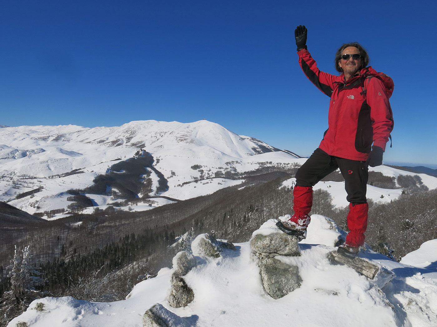
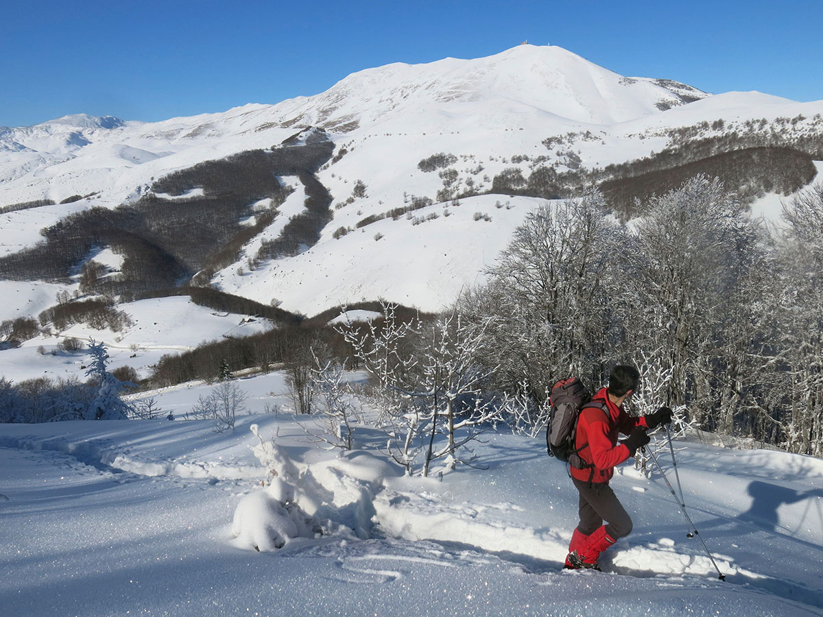
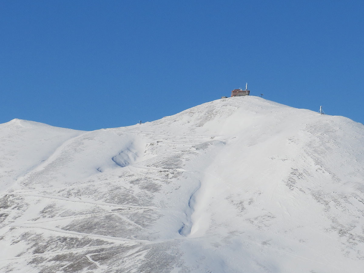
Uspon na Hojtu može se izvesti kraćom ili dužom turom. Obje ture je najbolje izvesti po vedrom danu a posebno vrijedi u zimskom periodu zbog prelijepih vidika koji se pružaju na mnoge planine. Tada se na horizontu jasno vide vrhovi Ozrena (sarajevski), Trebevića, Romanije, Ravne-planine, Jahorine, Treskavice, Crvnja, Visočice, Prenja i Bjelašnice.

Najkraći uspon na Hojtu je od planinarske kuće “Bijele vode“ (1451 m/nv). Do pl. kuće stiže se asfaltiranom cestom od Olimpijskog skijaškog centra u Babinom dolu (oko 5 km). U blizini ove kuće može se parkrati automobil.
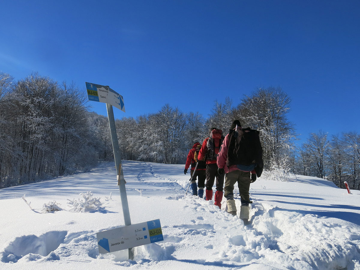
Pješačka staza započinje od česme (hair voda) smještene na 1481 m/nv odmah pokraj ceste za sela Šabići i Sinanovići. Blagim usponom preko Musinog brda (1550 m/nv) stiže se na kotu 1628 m/nv od koje dalje nastaviti grebenom sve do izlaska na najviše tjeme Hojte (1672 m/nv). Ukupno vrijeme trajanja ove ture s povrtakom na polaznu tačku je oko 3 sata hoda.

Duža tura je kružna a polazna tačka Olimpijski ski-centar Bjelašnica. Uspon pješačkom stazom vodi pravcem: Babin dol – Štini do – pl. kuća “Bijele vode“ – Musino brdo – vrh Hojta – Musino brdo – česma na vrelu Bijele vode – Pandurica – Javorov do – spilja Klokočevica – Kobil do – Babin dol. Ukupno vrijeme trajanja ove ture s povratkom na polaznu tačku je oko 6 sati hoda.

Napomena: od Štinog dola do pl. kuće “Bijele vode“ pješačka staza je označena putokaznim tablama i planinarskim  markacijama.
Upozorenje: Musino brdo i vrh Hojta su na području gdje postoji opasnost od neeksplodiranih ubojitih sredstava i protupješačkih mina iz minulog rata. Također je rizično područje na Borikovcima i Poljicama.  

Planinarska kuća “Bijele vode“

Planinarska kuća “Bijele vode“ nalazi se jugozapadno od Sarajeva (oko 35 km). Smještena je na nadmorskoj visini od 1451 m u blizini prijevoja preko kojeg prelazi regionalna asfaltirana cesta za sela Šabići i Sinanovići. Od Olimpijskog skijaškog centra Bjelašnica je udaljena oko 5 km. Parking za automobile nalazi se u blizini pl. kuće.  
Pl. kuća raspolaže sa ukupno 25 ležaja, kuhinjom i trpezarijom. Pod upravom je planinarskog društva “Željezničar“. Potrebna je najava za noćenje ili boravak.
Izleti i ture: najviši vrh Bjelašnice / Opservatorija (2067 m/nv) 3 h; vrh Hojta (1672 m/nv) 1½ h; selo Umoljani (1353 m/nv) 3½ h; Babin dol (1289 m/nv) 1 ½ h; Javorov do (1345 m/nv) 1 h.   


Mount Ararat / Ağrı Dağı – Türkiye

Mount Ararat is a dormant volcano situated in the Iğdır province of eastern Türkiye, standing as a sentinel where the borders of Armenia and Iran meet. Every nation that lives in its shadow knows it by a different name: to the Turks, it is Ağrı Dağı; to the Armenians, Masis; to the Kurds, Çiyayê Alavhat; and to the Persians, Koh-i-Nuh. It earned the name Ağrı Dağı during the period when its territory officially belonged to the Turkish province of Ağrı. The mountain is defined by two majestic peaks separated by about 15 kilometers: Greater Ararat (Büyük Ağrı Dağı), which stands at 5,137 m a.s.l. as the highest point in the Republic of Türkiye, and the significantly lower Little Ararat (Küçük Ağrı Dağı) at 3,896 m a.s.l. While older topographical and geographical maps often cited the elevation of the highest summit as 5,165 meters, modern measurements have revealed that the peak is actually 28 meters lower than previously recorded.

Beyond its towering heights, Ararat and its expansive plateaus serve as a sanctuary for diverse flora and rare mountain flowers, while also acting as a vital migration route for birds. These landscapes offer ideal motifs for photo safaris and provide a stunning arena for recreational sports such as mountaineering, ski touring, and paragliding. It remains the most visited mountain in Türkiye, partly due to the ancient legend of the prehistoric Great Flood and Noah’s family, who survived the cataclysm along with the animal kingdom thanks to a divine warning. According to this timeless tradition, Noah’s Ark (also known as a bark, kora, or ship) came to rest on Ararat after the floodwaters subsided. Although certain archaeological finds have captured the imagination of researchers worldwide, it has never been proven with certainty that these are indeed the remains of the vessel.

The legend of the flood exists in various forms across almost every religious system, predating even the records found in the Bible. In the story where Ararat is described as the cradle of humanity, God saw that the earth had become corrupt and filled with evil, deciding to bring an end to all living beings. He commanded Noah to build an ark of resinous wood and to bring his immediate family and two of every living creature inside. After 40 days and nights of rain, the waters finally waned and the ark settled on Mount Ararat. Noah then released a raven and later a dove, which initially returned because water still covered the earth. Seven days later, he released the dove again, and it returned with an olive branch—a sign that the waters had finally receded. From Noah's three sons—Japheth, Shem and Ham—the branches of a new world began to grow, marking a fresh start for mankind from the slopes of this legendary mountain

Text and Photography by: Braco Babić

Many mountaineers from all over the world come to Mount Ararat, each attempting to challenge Marco Polo’s famous claim that “no one will ever conquer it.” I felt a burning desire to stand on the roof of this mythical mountain myself, and in June 2009, I applied for the “10th International Victory Climb To Mount Agri Dagi.” This traditional expedition is organized by the Turkish Mountaineering Federation (Türkiye Dağcılık Federasyonu) to commemorate August 30th – Victory Day. As the departure date drew near, the organizers had yet to confirm my application. However, with a little help from my friends in Ankara just days before my journey to Türkiye, I finally received the official written invitation to participate. The following travelogue, detailing the ascent to the eternally snow-capped summit of Ararat, is taken directly from my mountaineering diary.

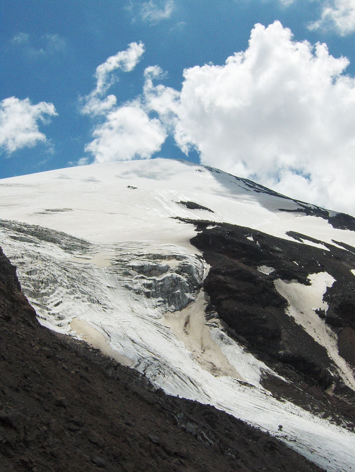
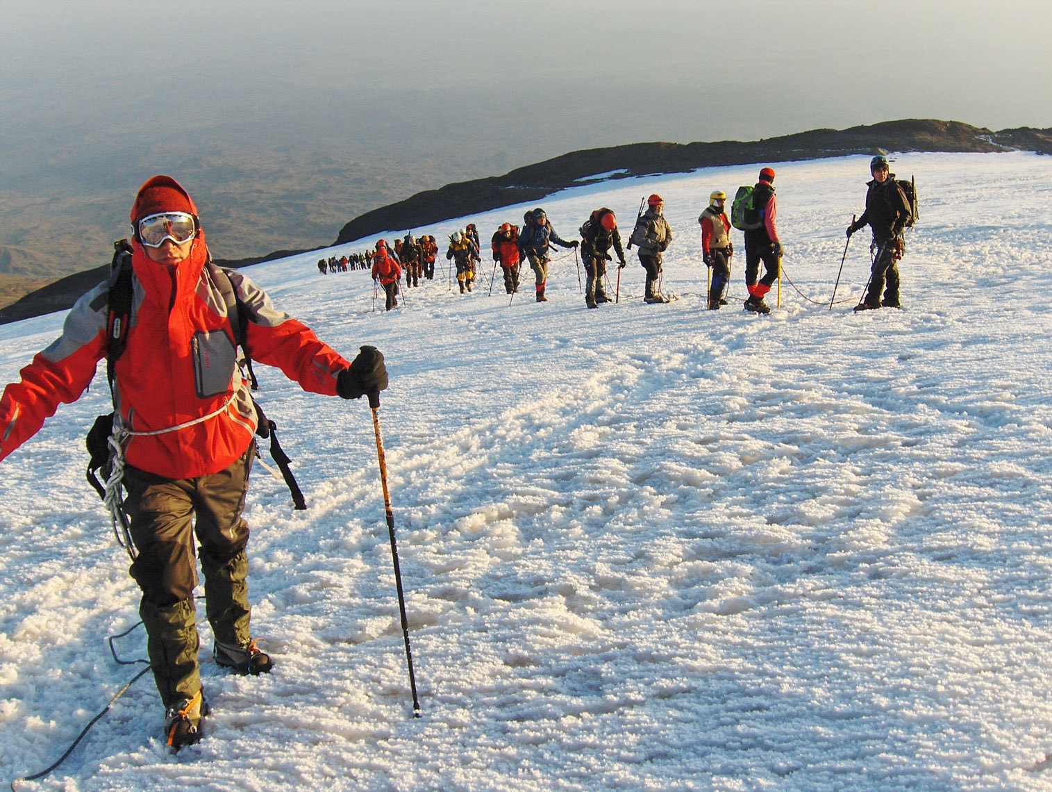
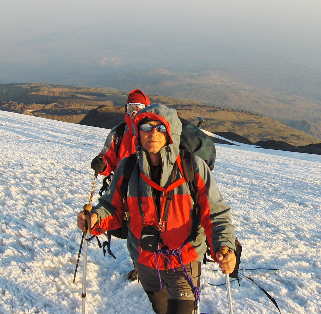
Mount Ararat – The final push to the summit is across the glacier on the northwestern side of the mountain (the lower boundary of the glacier begins at 4,200 m a.s.l.).

August 25, 2009

I am traveling to Türkiye with a team of mountaineers from Montenegro: Ramiz Redžematović (Plav), Valentina Perunović (Podgorica), Bojan Đokić (Danilovgrad), and Zoran Mitrović (Podgorica). We depart from Sarajevo at 06:15 AM on a flight to Istanbul. After a two-hour flight, we arrive at Istanbul International Airport, quickly transferring to a domestic flight bound for Kars, a city in the far east of the country. From there, we continue our journey south by minibus, arriving in Iğdir at 5:00 PM.

At the local police station, the officer on duty informs us that we will be accommodated for the night in the Teachers’ Dormitory. As we prepare to head into town, we realize it is the holy month of Ramadan; we wait for the restaurants to open at iftar (the sunset meal). We eventually find a small, traditional eatery serving authentic Oriental specialties.

After dinner, we join some Turkish mountaineering friends at a tea house on the outskirts of the city. There, sitting on traditional minderluks (cushioned floor seats) under the open sky and the pleasant shade of a nearby forest, we enjoy traditional tea. We pour it from a large samovar into small, heat-resistant glass cups. None of the Turks speak English—they mentioned learning Russian in school—and since our knowledge of that language is non-existent, we communicate through a few shared words and plenty of mimicry and gestures. We speak of our shared love for the mountains and the upcoming ascent of Ararat. Late at night, we part ways with our new friends and head back to the dormitory. As we walk through the streets, our laughter echoes alongside the few Russian words we learned that evening: spasiba, harasho, zdrastvujte!

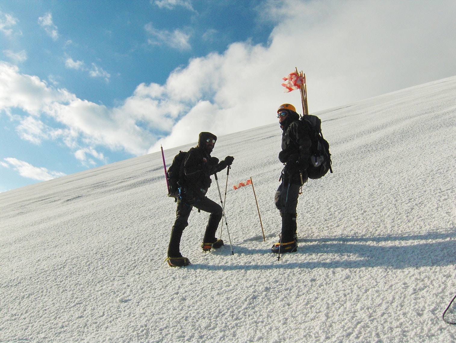
Mount Ararat – On the final push from Camp 3 toward the summit.

August 26, 2009

We begin our tour of the city’s cultural and historical landmarks early in the morning to beat the intense heat. Iğdir is both a city and the capital of the eponymous province in eastern Türkiye. It occupies an area of 3,588 $km^2$ and serves as a strategic border point with Armenia and Iran, while internally bordering the provinces of Kars to the northwest and Ağrı to the south and west. Established in 1993 from the southeastern part of Kars province, it is now home to approximately 180,000 residents, with a population primarily composed of Kurds and Azeris. Most of the province is a vast, sweeping plain stretching beneath the shadow of Mount Ararat. The climate here is the warmest in this part of Türkiye, which is ideal for the cultivation of cotton and various Mediterranean fruits.

The city of Iğdir itself has about 76,000 inhabitants and sits at 850 m a.s.l. It is located at a vital crossroads leading to Batumi, Tabriz, Tbilisi, and Yerevan—some of the most significant cities on the legendary Silk Road between East and West. Having welcomed caravans for hundreds of years since its founding in the 12th century during the Seljuk period, Iğdir is a mosaic of civilizations. From a viewpoint above the city, one can see three distinct cultures converging, truly earning Iğdir the title “Crossroads of Cultures.” While the traditional architecture is now rare, overtaken by contemporary buildings, the city’s historical spirit remains palpable.

Turkish merchants are legendary, with shops displaying everything “from a needle to a locomotive.” If something is missing, the shopkeeper will likely have it on the shelf by the next day. Our specific problem, however, was gas canisters for our camping stoves. We weren't allowed to bring them in our luggage at the Sarajevo airport, and climbing Ararat without them is impossible. After a frantic search through the city—where large industrial tanks were plenty but small hiking canisters were nowhere to be found—a resourceful merchant saved the day. He ordered eight canisters from a neighboring town via phone, and his cousin retrieved them by motorcycle within two hours. With the fuel secured, we can now boil water for tea, soup, and drinking during the expedition.

Relieved, we headed to the local market to buy Iğdir’s famous apples (al alma) and incredibly flavorful peaches (salagi), finishing our haul with a massive, juicy watermelon (karpuz).

At 7:30 PM, in the Culture House hall, the President of the Turkish Mountaineering Federation, Mr. Alaattin Karaca, briefed the participants on the program and conditions for the ascent. The expedition consists of 51 mountaineers (30 local and 21 international). For the past three years, the route has followed the northwestern ridge, starting from the Korhan Plateau near the gendarmerie barracks. This route is more demanding than the southern approach from Doğubeyazit, but it is considered safer due to past regional tensions. In fact, access to Ararat was restricted for a time due to security concerns; just days before our arrival, an incident occurred involving the destruction of a Noah’s Ark replica and a skirmish with local forces.

The evening’s slide projection showcased the breathtaking beauty of this challenging mountain. Ararat is a sanctuary for rare mountain flora and a vital corridor for migratory birds. Whether for a photo safari, mountaineering, or paragliding, it is clear why this remains the most visited mountain in Türkiye.

Mount Ararat – On the final push from Camp 3 toward the summit.

August 27, 2009

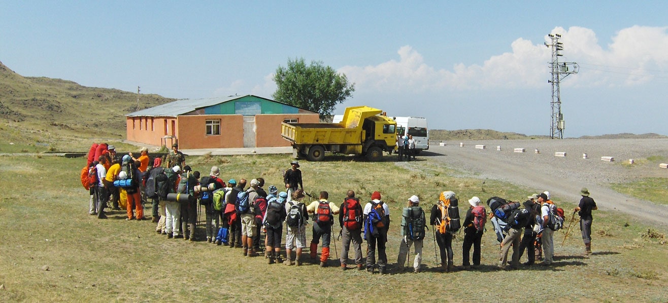
Today, our journey to Ararat finally begins. We spend the morning packing our mountaineering and camping gear. Our backpacks, tents, and transport bags are loaded onto a large truck destined for the Korhan Plateau, while we prepare to follow shortly after by minibus. At 11:00 AM, we gather at the main city square for the official opening ceremony. Accompanied by the sounds of the Turkish national anthem and attended by the Mayor of Iğdir, the provincial Governor, and many local citizens, the expedition is formally inaugurated. Flags from all participating nations flutter in the breeze: Türkiye, Romania, Ukraine, Bulgaria, Bosnia and Herzegovina, Montenegro, Macedonia, Serbia, Greece, and Iran.

Following the ceremony, we depart for the Korhan Plateau in a comfortable, air-conditioned minibus. Our route takes us through a military checkpoint fortified with barbed wire, sandbags, and machine-gun nests. Soldiers in full combat gear inspect the vehicle and our documents. During the check, we strike up a friendly conversation with soldiers who had previously served in a peacekeeping mission in Kosovo. We then continue along a dusty road under reconstruction toward Doğubeyazit before veering onto a winding side road that snakes up toward the plateau. Along the way, our guides point out a massive depression near the road—a crater formed by a meteor impact.

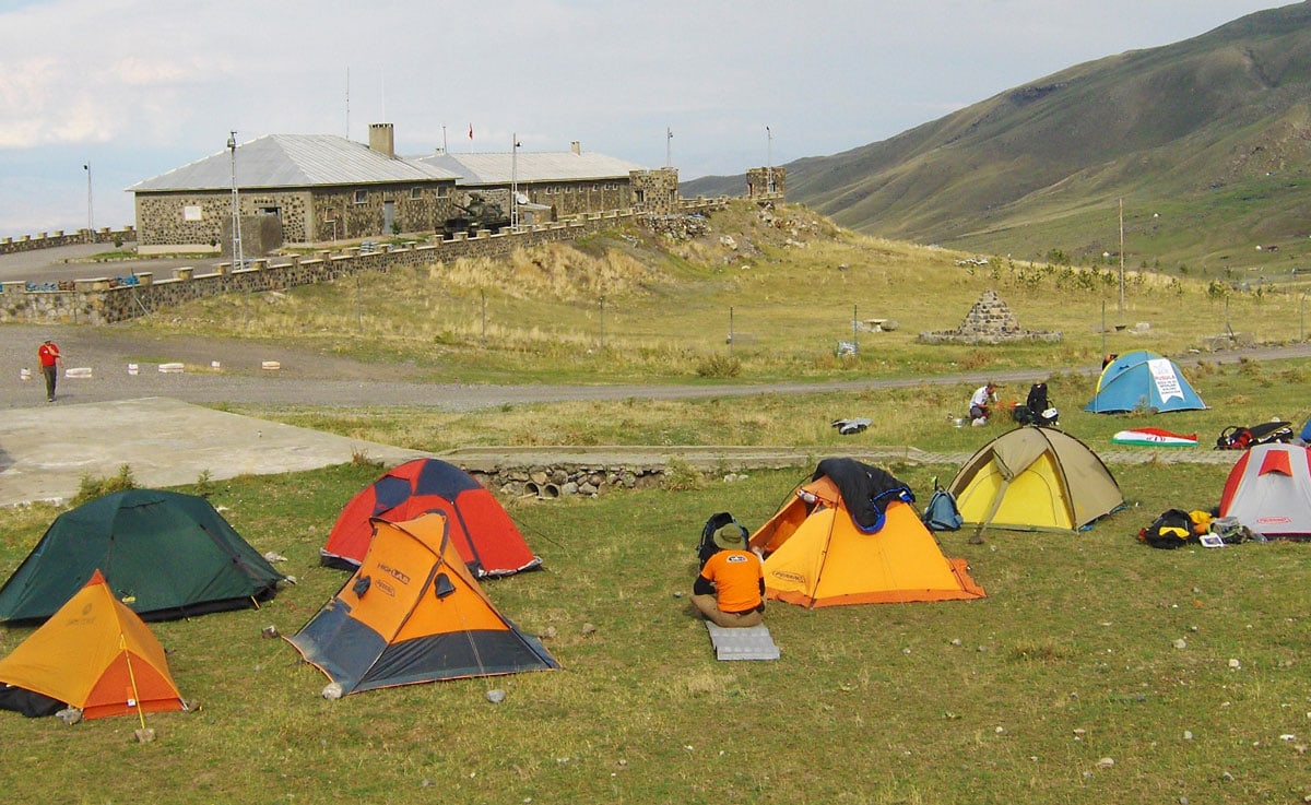
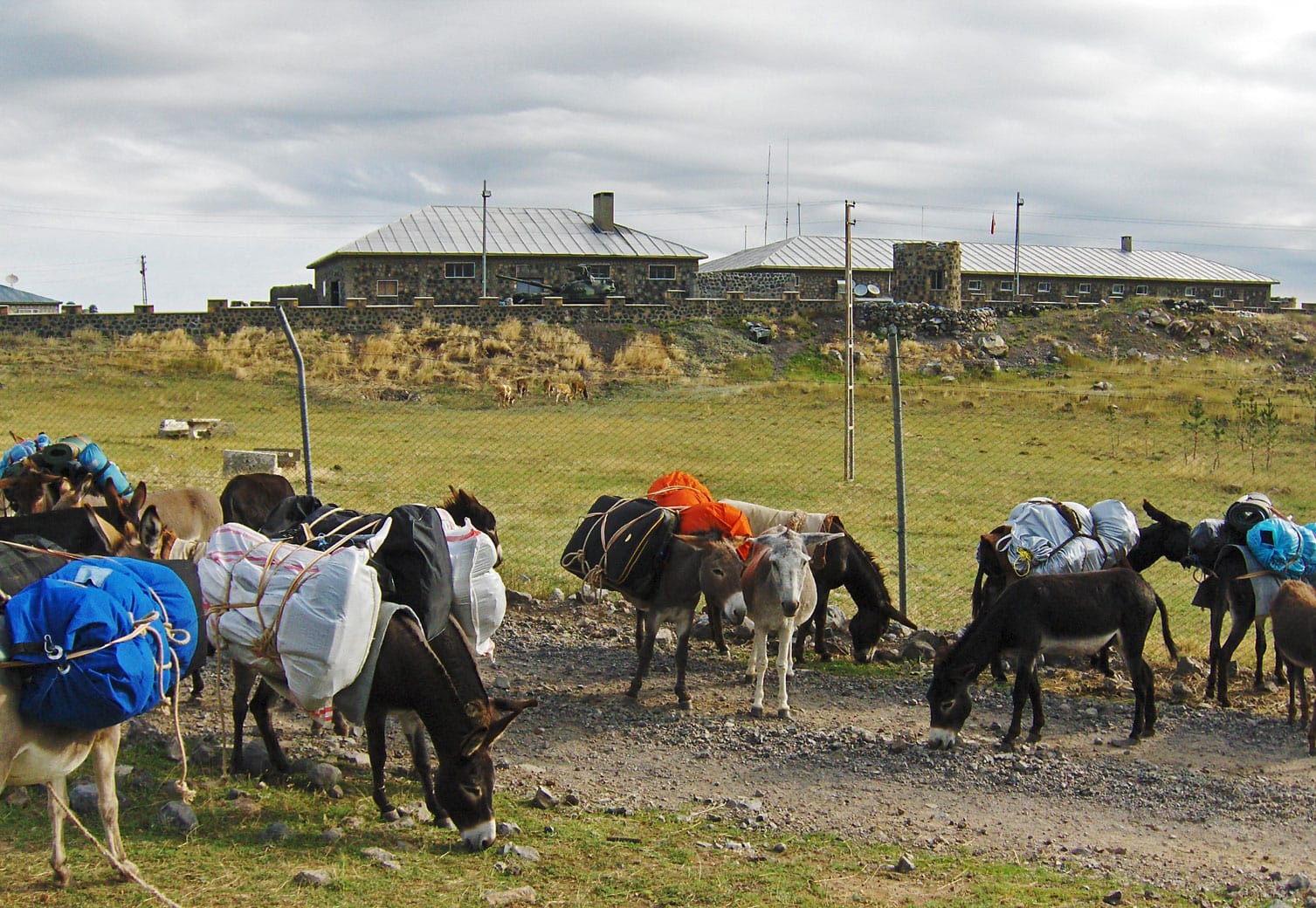
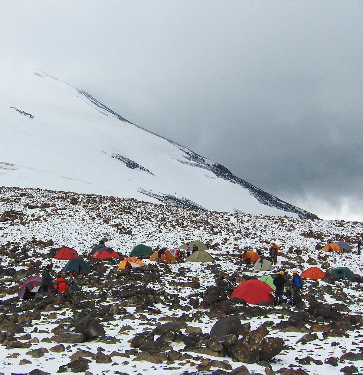
At 2:00 PM, after a 35 km drive, we reach the gendarmerie barracks on the Korhan Plateau, where we establish Camp 1 (1,950 m a.s.l.). After pitching our tents, we visit the barracks, where a tank is parked within the perimeter. We meet the gendarmes who will accompany us to Camp 2 tomorrow. They welcome us warmly, providing bottled water and full access to the station’s facilities, including showers, toilets, power for charging batteries, and a military canteen.

The station commander is a young officer of Bosnian descent who speaks our language fluently. He tells us that his grandparents moved to Türkiye after World War I, though he and his parents were born here. Having recently visited Bosnia and Herzegovina—touring Travnik, Sarajevo, and Mostar—he speaks enthusiastically about our nature and the beauty of the people. With his blessing, we are permitted to visit a nearby settlement of Kurdish nomads.

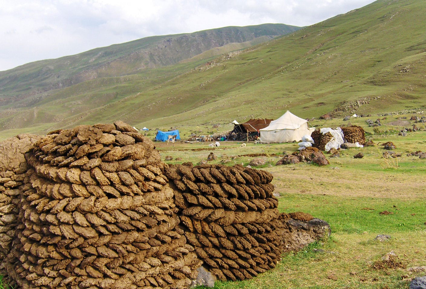
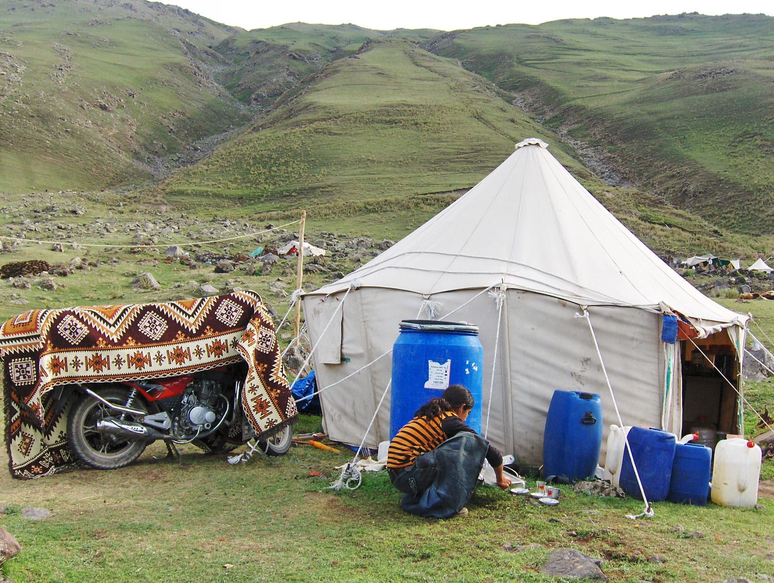
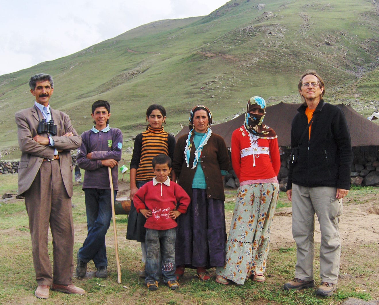
In the late afternoon, Ramiz, Bojan, and I visit the nomads and meet the head of the settlement, Ahmet Nas. He invites us into his tent (yurta), where he has his prized possession—a new Japanese motorcycle—carefully draped in a beautiful rug from Tabriz. Outside, a magnificent horse grazes peacefully on the meadow. At the entrance, Ahmet’s family—his wife and four children—greets us warmly. His eldest daughter helps us communicate using a pocket electronic translator.

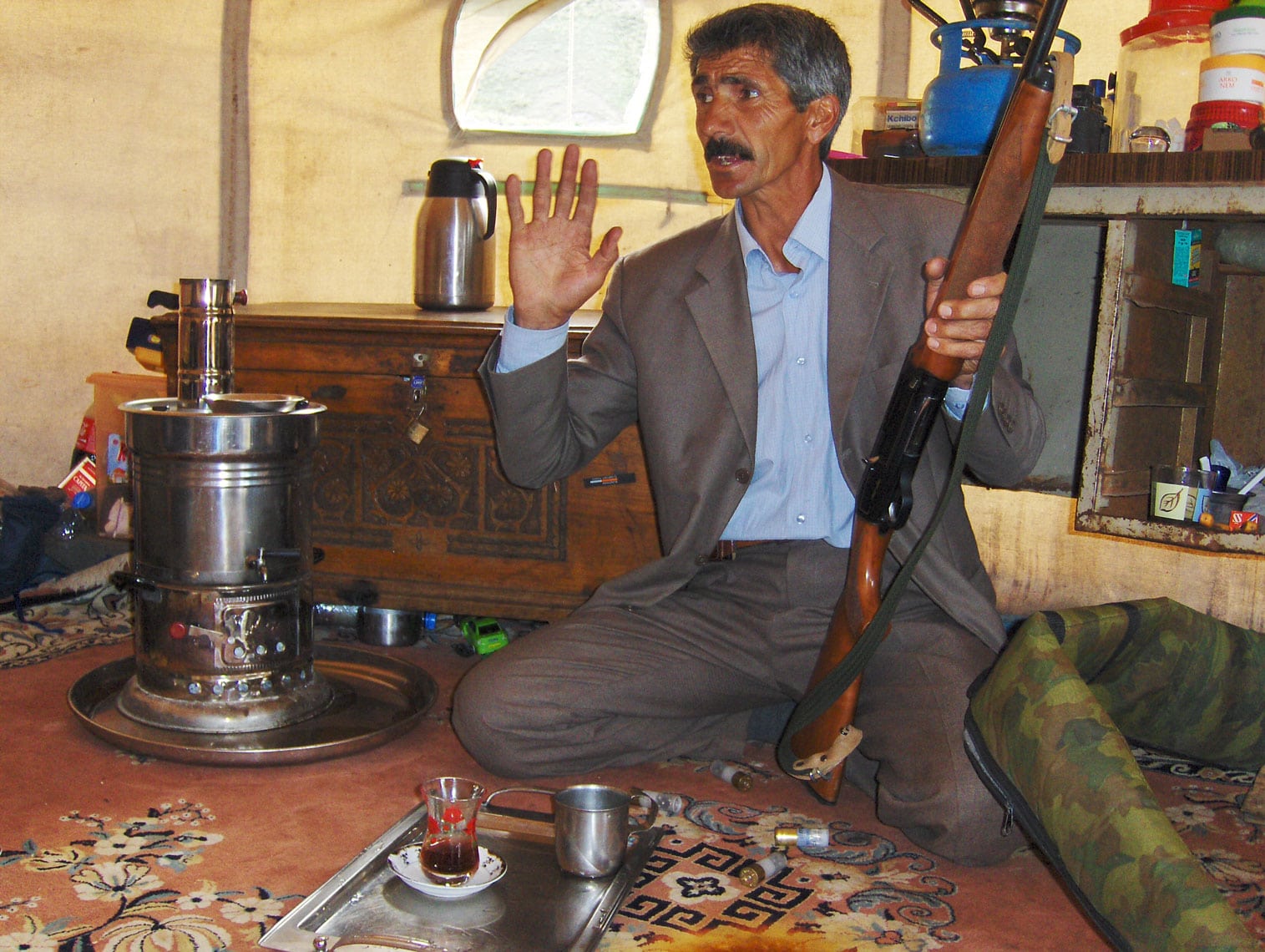
As we sit on floors covered with handmade rugs, Ahmet pours hot tea from a samovar and shares stories of the arduous life of Kurdish nomads. When we ask how many times he has reached the summit of Ararat, his eyes light up. He has climbed it about ten times as a guide for foreign mountaineers, and he proudly shows us a pair of binoculars gifted to him by a German climber he once led to the peak.

Our conversation continues over a traditional dinner of warm somun bread, sheep’s cheese, black olives, and sour milk. When asked about wild animals on the mountain, Ahmet nimbly jumps up to retrieve his hunting rifle, demonstrating his skill with the weapon. Though we could have listened to his stories until dawn, the exhaustion of the day finally pulls us back to Camp 1 for a well-deserved rest.                          

Mount Ararat – On the final push from Camp 3 toward the summit.

August 28, 2009

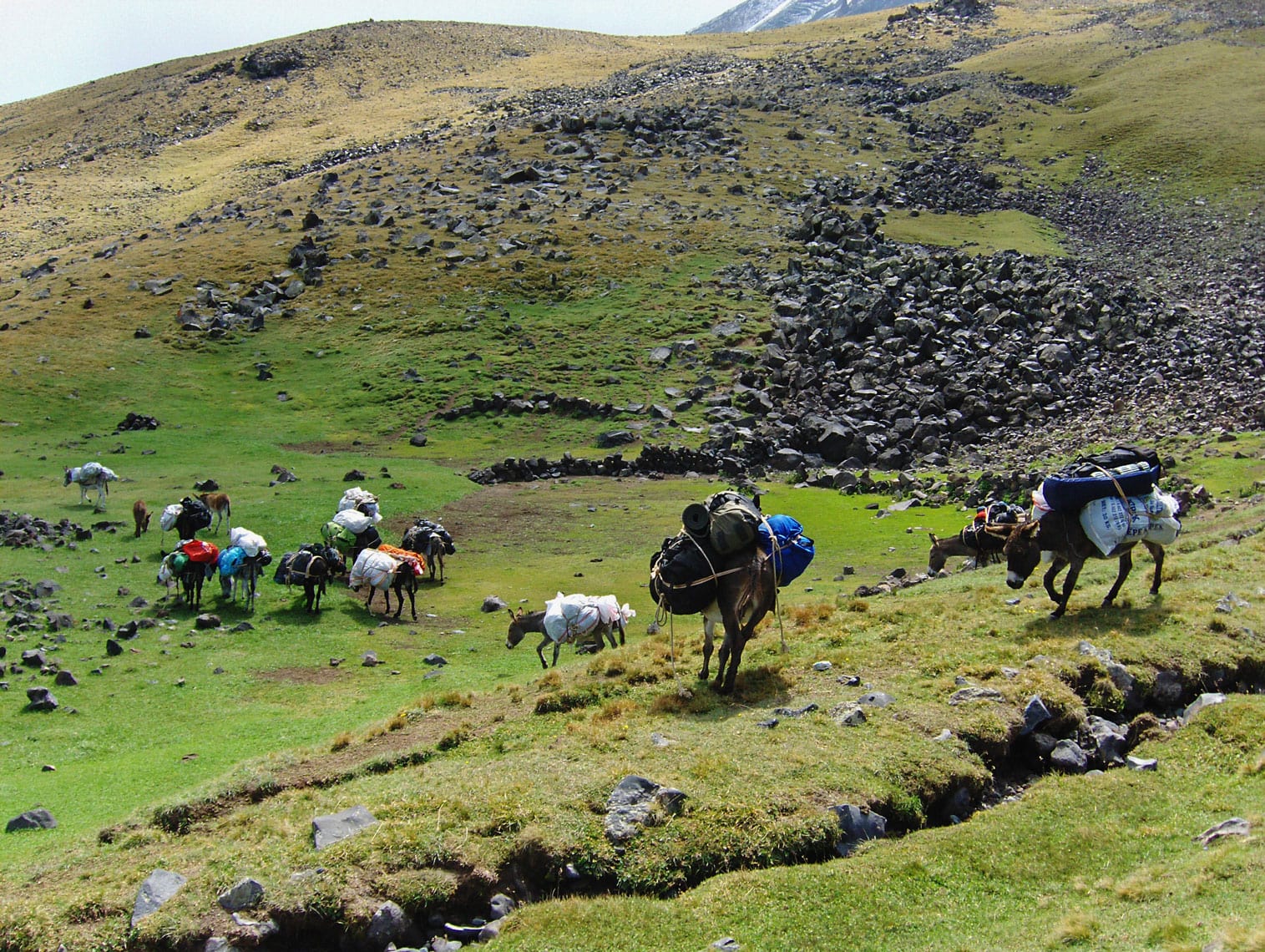
We wake up at 06:00 AM to pack our tents and gear, which will be transported to Camp 2 by donkeys. The area around the camp is filled with thick dust and the braying of animals. The handlers are firm, using sticks to corral the donkeys and prepare them for loading. We struggle to communicate while negotiating the transport price, and a lingering feeling tells us the agreement might change by the time we return from the summit.

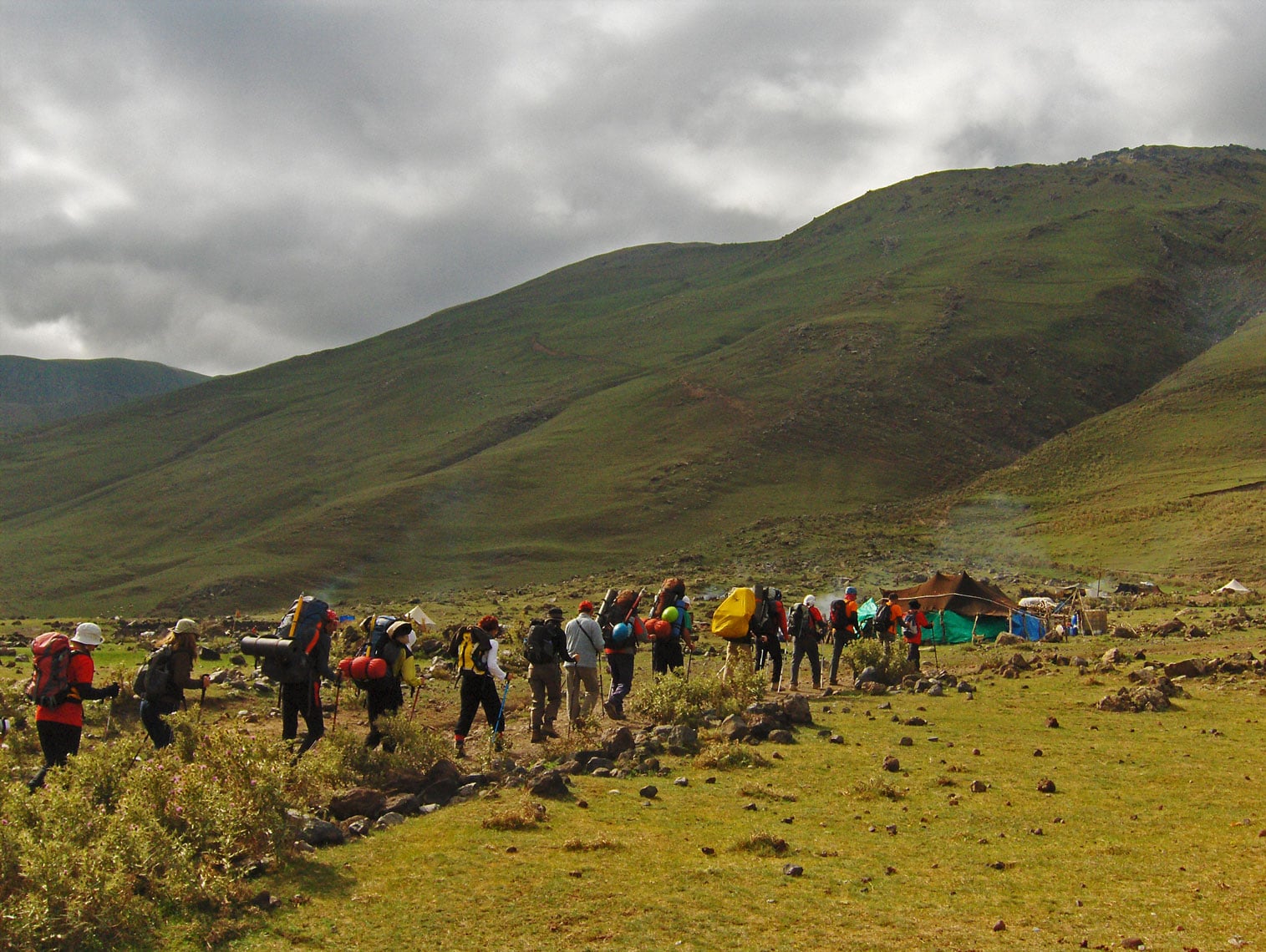
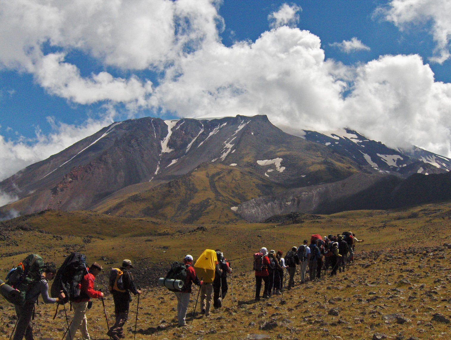
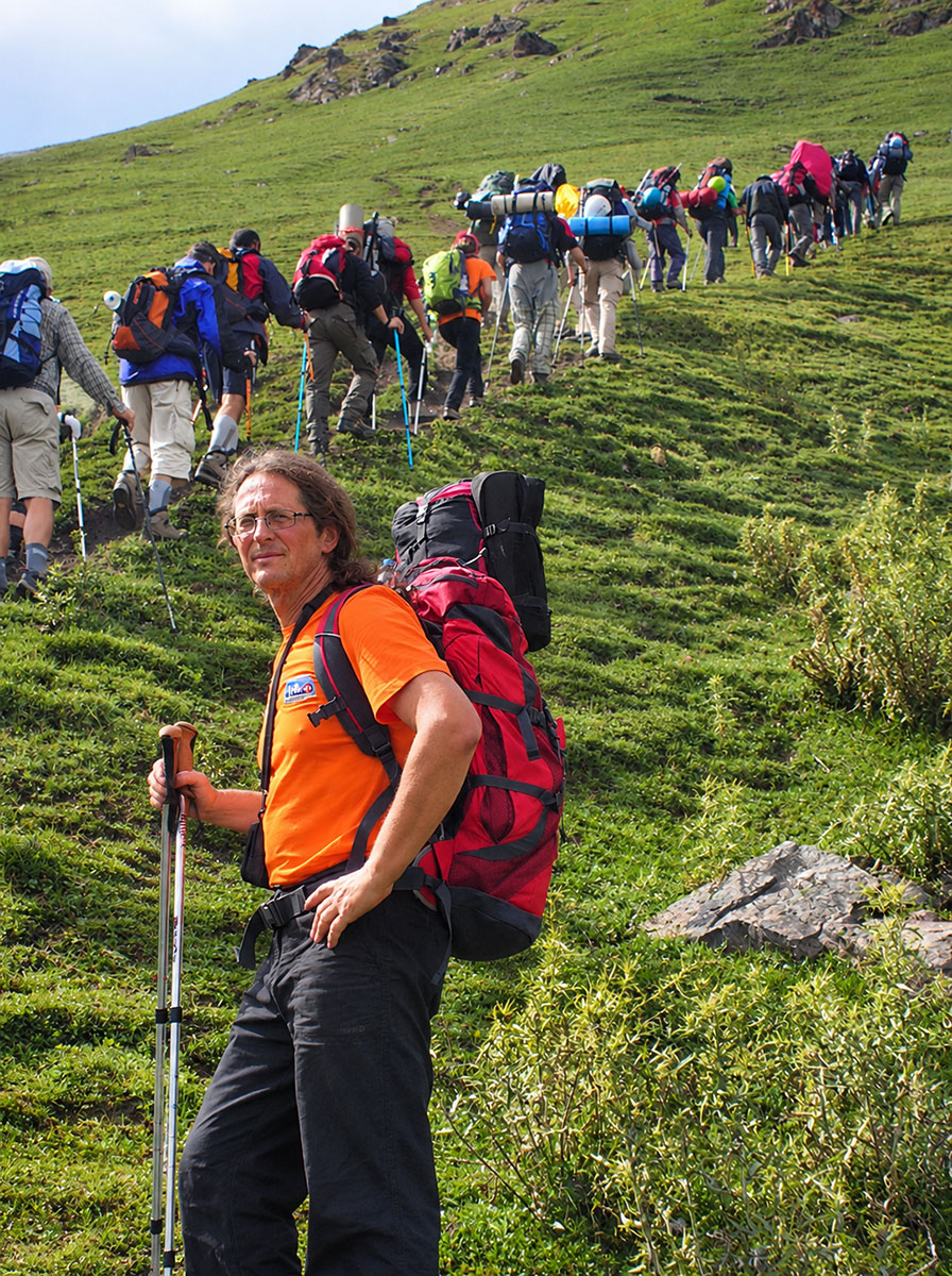
At 08:30 AM, we all set off together. The handlers take a longer, easier route with the donkeys, while we ascend via a steep hiking trail. Camp 2 is located at 3,400 m a.s.l., and the climb takes about 5.5 hours, covering an elevation gain of 1,450 meters. Leading the column are mountain guides Mustafa Kiziltaş (from Balikesir) and Cemal Ertugay (from Antalya). Joining us is Mr. Alaattin Karaca (from Erzurum), the President of the Turkish Mountaineering Federation, marking his tenth ascent of Ararat. At the rear, three gendarmes armed with rifles escort us to Camp 2. We maintain a moderate, “step-by-step” pace. The weather is in our favor—calm and not too cold. Occasionally, we pass through curtains of fog, which completely clear by the time we reach Camp 2 at 2:00 PM, as the sun emerges once more.

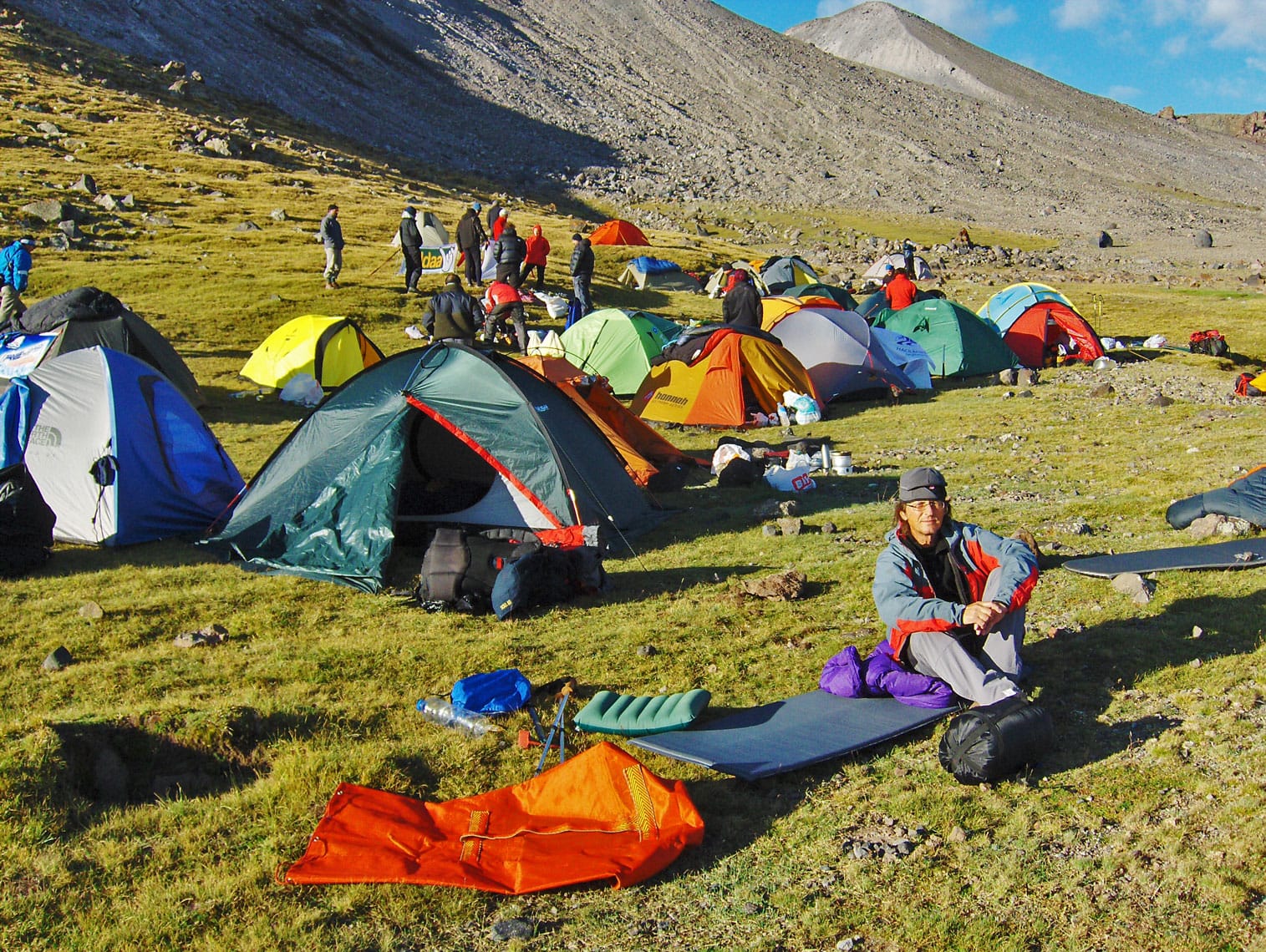
We pitch our tents near a spring at the base of a slope on the edge of a large plateau. After settling in, we boil water for tea and soup, carefully straining it first due to the sandy sediment at the bottom of the pots. We strictly follow high-altitude protocols: drink as much fluid as possible! At 5:00 PM, we head out for an acclimatization hike, reaching an elevation of 3,750 m a.s.l. We return to Camp 2 at 7:15 PM. In total, we spent 7 hours and 45 minutes hiking today, with a total ascent of 1,800 meters and a descent of 350 meters. After dinner, we prepare water for tomorrow’s move to Camp 3. The night is unusually warm for this altitude. Before retiring to our tents, we take one last look from the edge of the plateau at the distant lights of Iğdir and Yerevan.

Ararat was Armenian territory until it came under Ottoman rule in 1915. The mountain remains a national symbol of Armenia, featured on their national coat of arms and currency. It is said that Ararat is clearly visible from almost everywhere in Armenia, including the capital, Yerevan. However, Turkish authorities strictly monitor foreigners climbing the mountain and do not permit Armenians to make the ascent.

Mount Ararat – On the final push from Camp 3 toward the summit.

August 29, 2009

We wake up at 07:00 AM. Ramiz and Zoran complain of a poor night's sleep and headaches—clear signs of the altitude. They jokingly envy me for sleeping soundly and “sawing logs” all night, though I assure them I heard nothing! After breakfast, we prepare for the move to Camp 3. From today, everyone must carry their own weight. Tents, sleeping bags, ice climbing gear, winter clothing, and food for two days are all packed into our large backpacks; any excess gear is left behind at Camp 2.

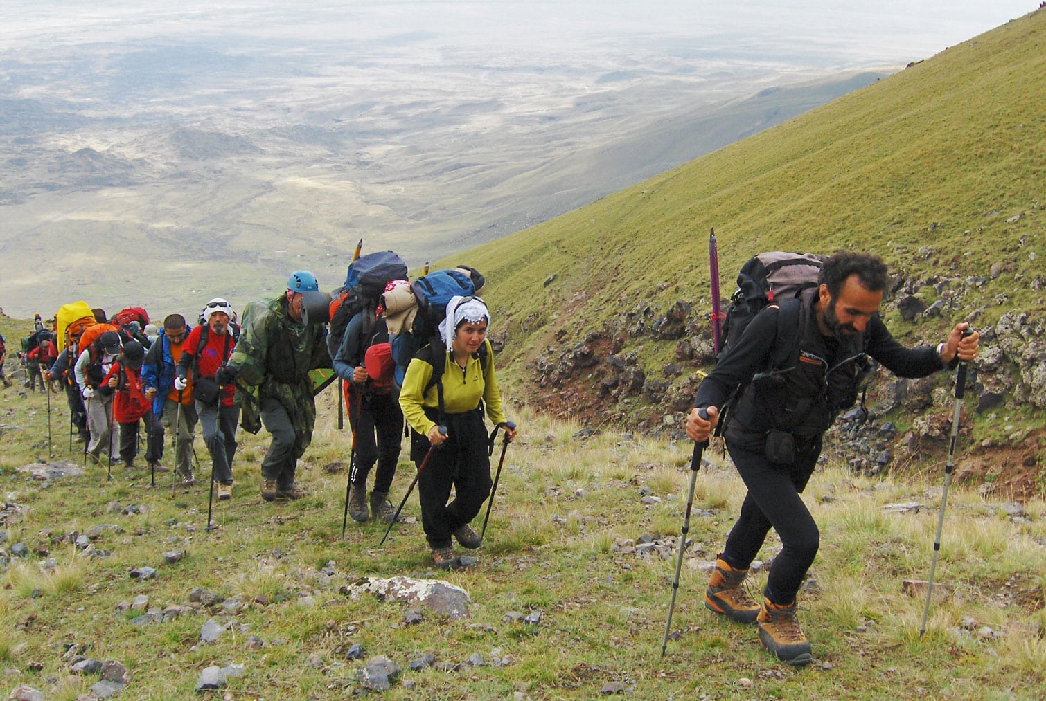
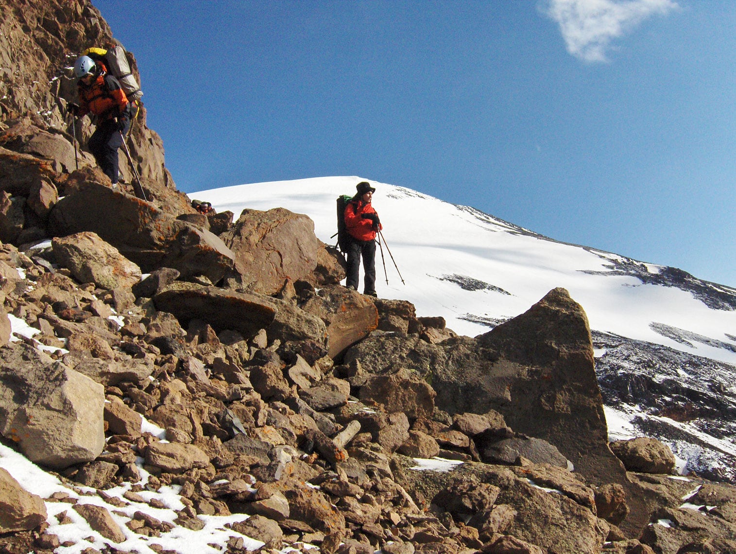
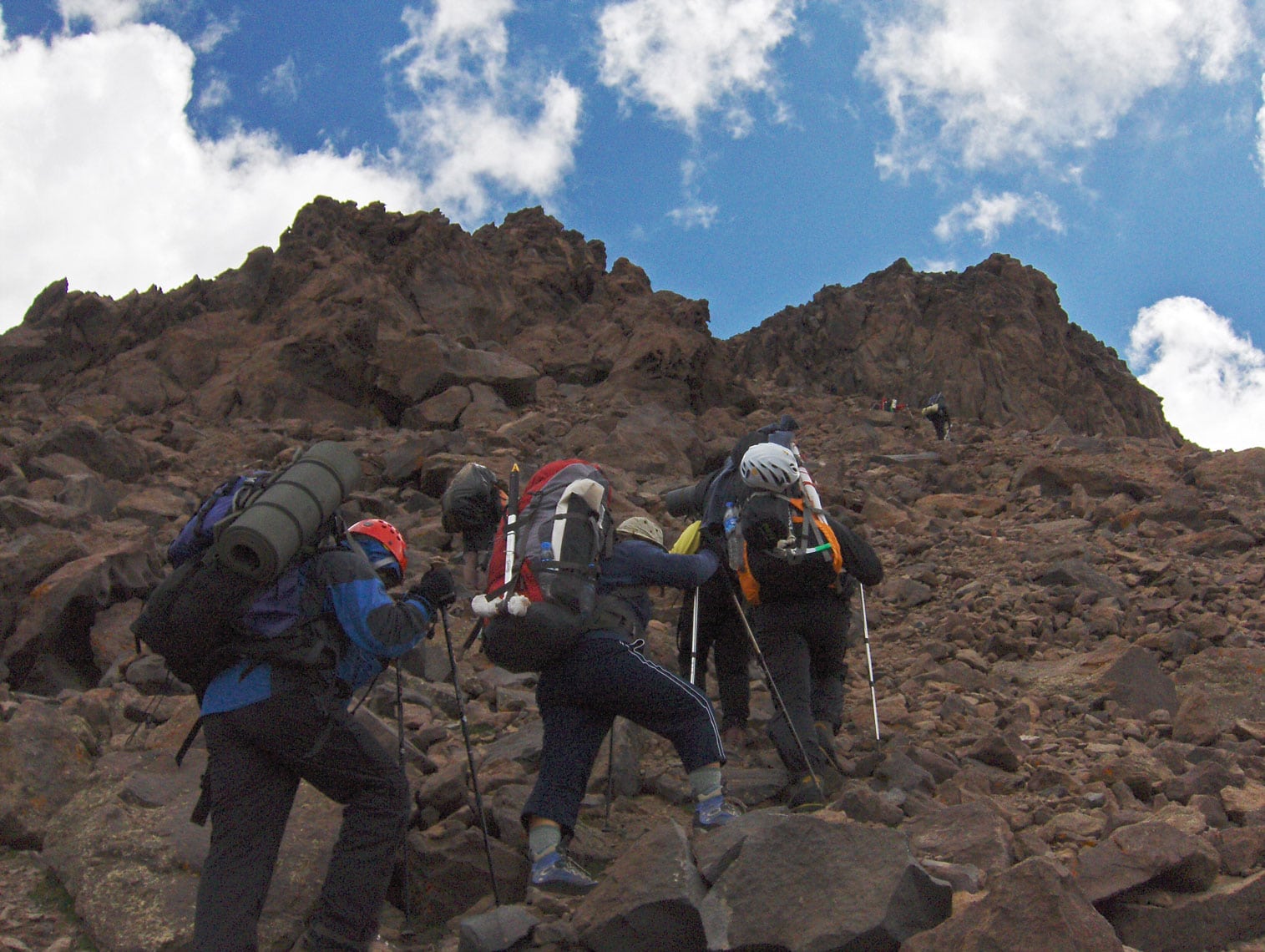
We set off at 09:00 AM. Due to the heavy loads, we climb at our own individual paces, dictated by our physical stamina. The route requires us to overcome a 750-meter elevation gain over approximately 4 hours. The terrain is demanding, consisting of rugged karst with massive boulders broken off from the cliffs that loom above us throughout the ascent. We move with caution to avoid triggering any rockfalls. At 01:00 PM, we emerge onto the crest of a near-vertical cliff where a small, flat plateau awaits. On this ledge, like an “eagle's nest,” we establish Camp 3 (4,150 m a.s.l.). From this vantage point, a wide view stretches across the borderlands of Türkiye and Armenia.

Just as we finish pitching our tents, a storm hits—initially marked by loud thunder and flashes of lightning, followed by a heavy snow squall. We quickly retreat into our tents to wait it out. Fortunately, it lasts only about half an hour before the sky clears and the sun breaks through the clouds again. After lunch and some rest, we head to a nearby stream formed by melting snow to collect enough water for the rest of the day and tomorrow's summit push.

At 04:30 PM, we head out for an acclimatization hike, reaching an elevation of 4,300 m a.s.l., returning to Camp 3 by 06:00 PM. In total, we spent 5 hours and 30 minutes hiking today, with a 900-meter total ascent and a 150-meter descent.

After dinner, we pack our bags for tomorrow’s final push. The stars and gentle moonlight illuminate the sky above our camp—a reliable sign that fair weather awaits us for the summit. Joyful at this turn of events, we head to bed early, knowing a grueling day lies ahead.

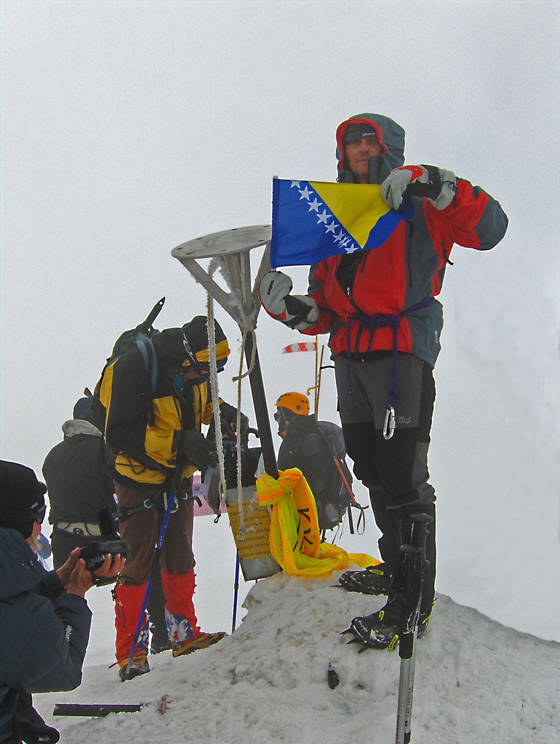
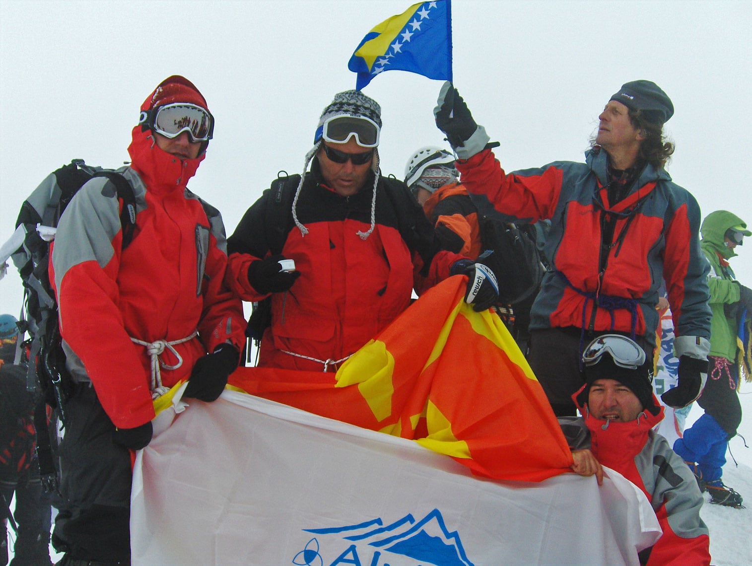
Mount Ararat – Braco Babić with the flag of Bosnia and Herzegovina at the summit of Greater Ararat / Büyük Ağrı Dağı (5,137 m a.s.l.).

August 30, 2009

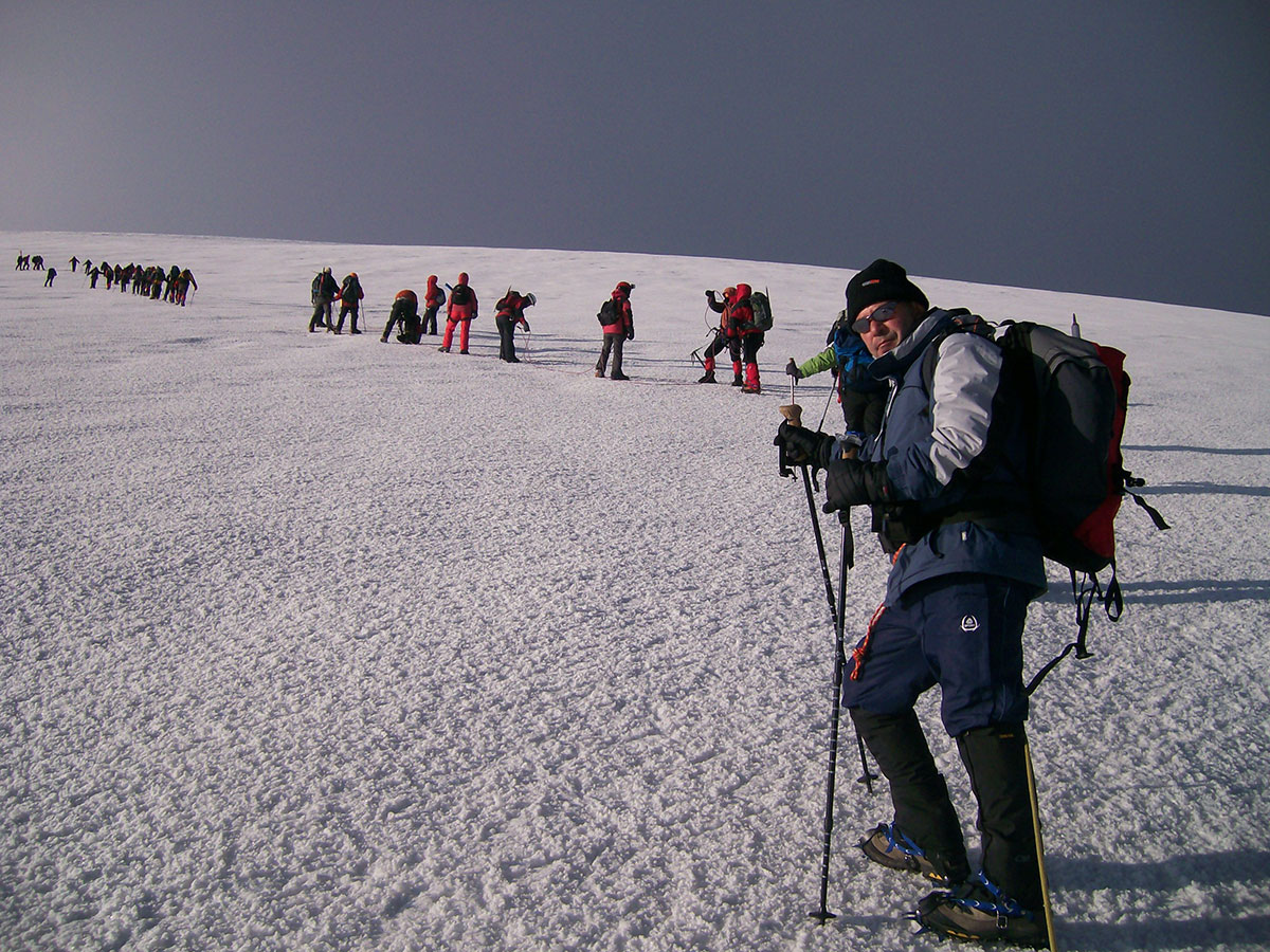
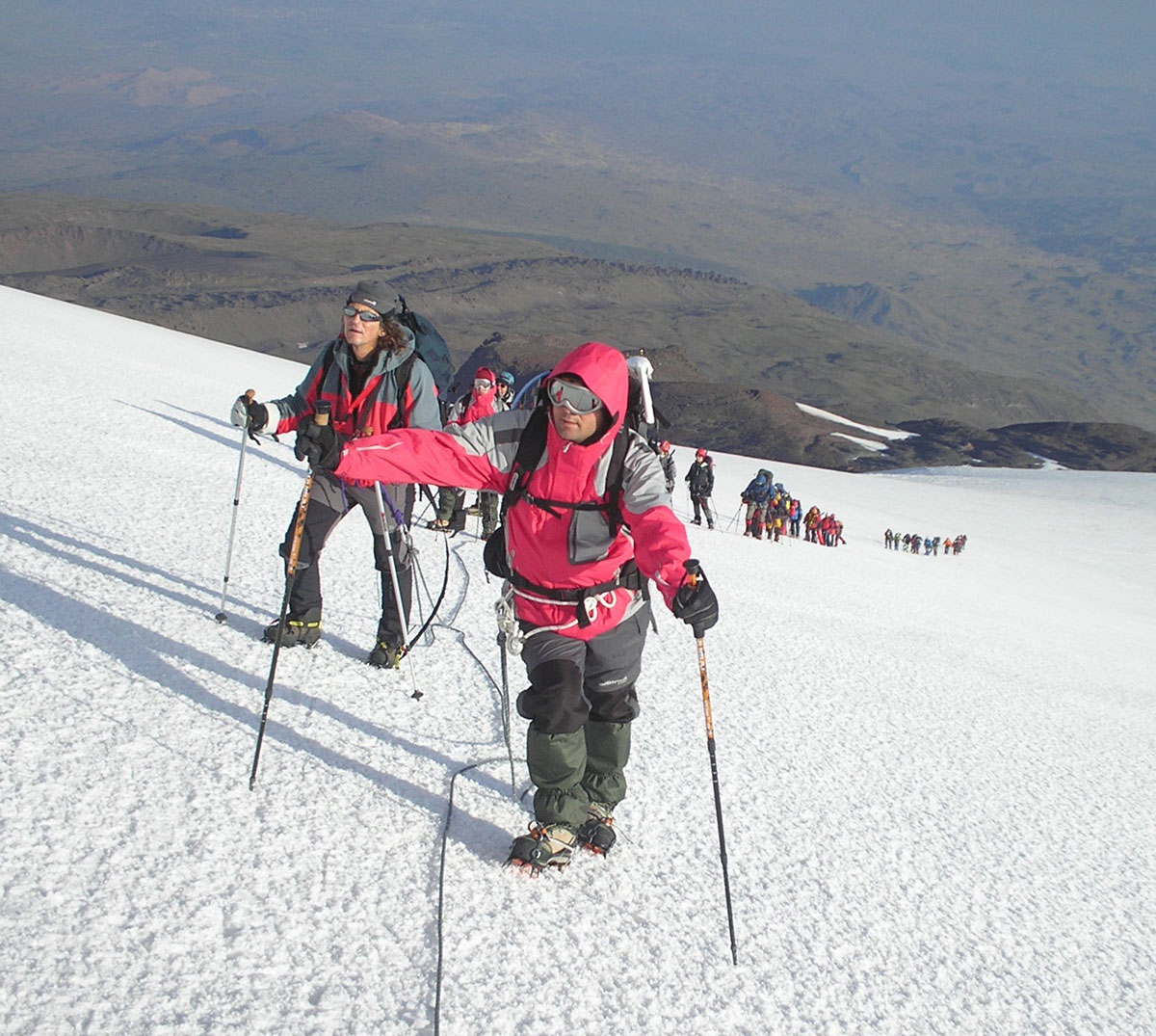
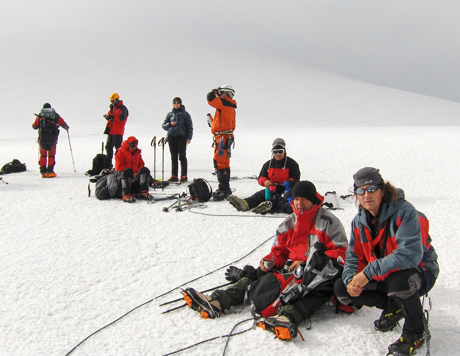
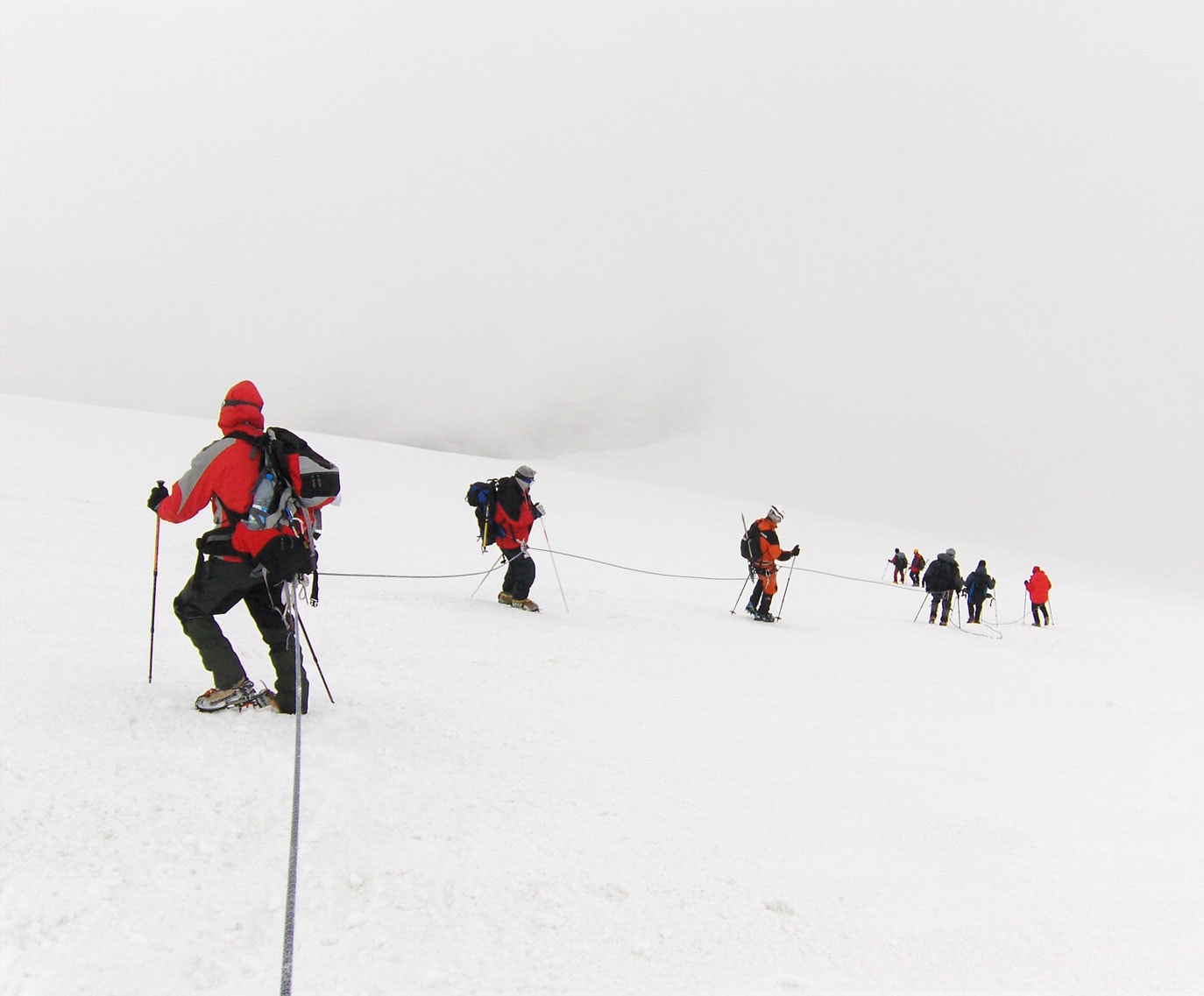
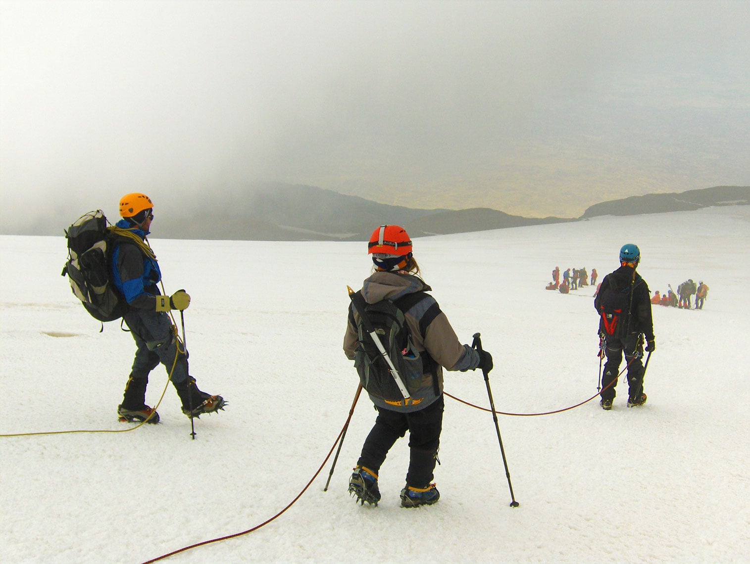
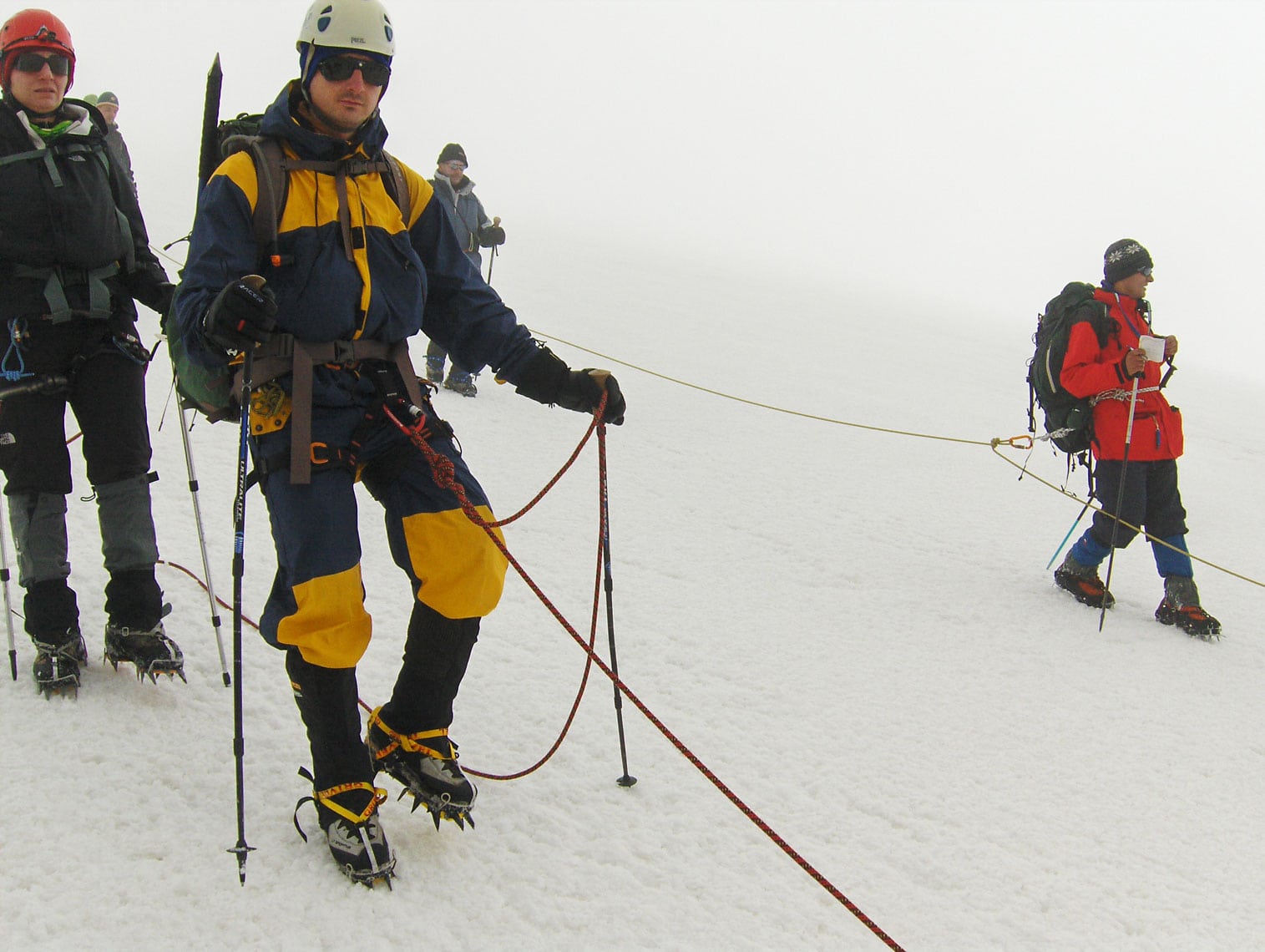
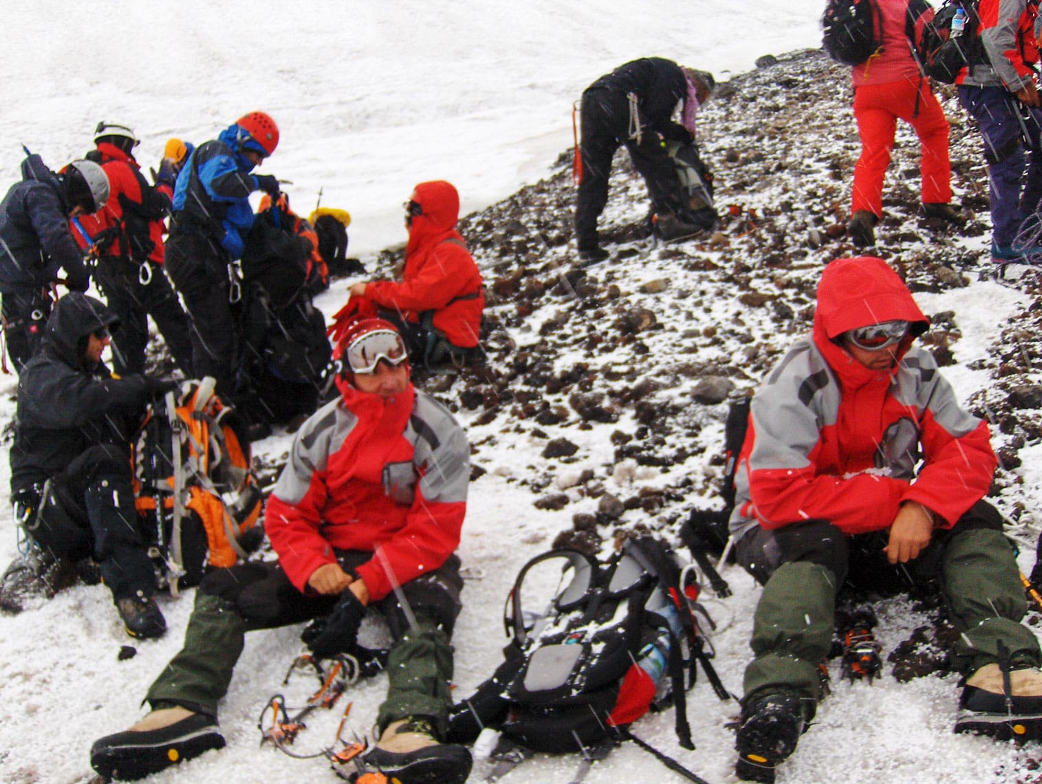
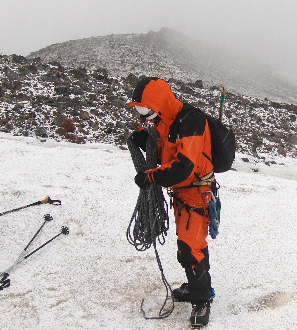
We wake up at 03:00 AM. After a final gear check to ensure our ice climbing equipment is ready, we set off at exactly 04:00 AM. Moving in a single-file line, the silence is broken only by the rhythmic sound of our footsteps. The moonlight is so intense that our headlamps are almost unnecessary. We soon reach the lower edge of the glacier at 4,200 m a.s.l., where we fix our crampons and rope up. I am joined in the rope team by a group from Macedonia: Živko Temelkovski (Skopje), Artan Luma, and Memet Memeti (Tetovo).

As we emerge onto the northwestern ridge at 4,500 m a.s.l., the morning sun greets us. To protect ourselves from the high-altitude rays, we apply high-factor sunscreen and put on our protective eyewear and hats. Everyone feels strong; we make only two brief 15-minute breaks on our way to the summit. It is warm and calm—conditions that often signal an incoming change in weather. Sure enough, at 5,000 m a.s.l., a thick fog rolls in and stays with us until the peak.

The Summit of Ararat

At 10:30 AM, after 6.5 hours of hiking and an elevation gain of 1,015 meters, we finally reach the highest point of Mount Ararat. Standing by the summit marker, our rope leader Živko simply says: “To je to” (That’s it). Congratulations and photos with national flags follow. Each of us has a reason to celebrate: for Živko, this is his tenth consecutive ascent; for Artan, Memet, and myself, it is our first time standing above 5,000 meters. A total of 51 mountaineers from 10 countries reached the summit today—a perfect success rate. As the Turks would say: Aferim! (Bravo!).

We stay at the summit for only 30 minutes. At 11:00 AM, we begin our descent back to Camp 3. Our guides’ decision to move early due to the shifting weather proves wise; as soon as we step off the glacier and remove our crampons, thunder roars and a heavy snowstorm begins. Within minutes, ten centimeters of fresh snow covers the ground.

We arrive at Camp 3 at 2:00 PM after a three-hour descent. After a short rest to regain our strength, we pack our heavy tents and gear for the long trek down to Camp 2. We reach Camp 2 at 7:00 PM after another three hours of hiking. Exhausted and with little appetite, we quickly prepare some tea and soup before heading to bed. It was a grueling day: 11.5 hours of trekking with a 987-meter ascent and a massive 1,737-meter descent.         

August 31, 2009

We wake up at 07:00 AM, still feeling the fatigue from yesterday’s triumph. However, the pressure is gone; we no longer have to scan the sky or worry about the weather—the summit is “in the bag.” After breakfast, we pack our tents and gear into transport bags for the donkeys. As we suspected, the negotiation for the transport fee takes a turn; the price agreed upon four days ago has suddenly doubled. After some persistent bargaining, we reach a mutual agreement: 45.00 EUR per piece of luggage for the round trip. We set off at 09:45 AM and arrive back at Camp 1 by 01:45 PM. The descent took 4 hours, covering a vertical drop of 1,450 meters.

At the entrance to the gendarmerie barracks, we encounter the eldest son of our host, Ahmet Nas. He has come on horseback specifically to say goodbye. As a parting gift, we give him our remaining food and a gas burner with canisters. We are then treated to a final meal in the military mess hall—warm pita bread and cold, refreshing drinks.

By 05:00 PM, we are back in Iğdir. After days on the mountain, the simple luxuries of civilization—soap, shampoo, and a hot shower—feel incredible. At 08:00 PM, a formal ceremony is held at the Culture House, where each participant is personally awarded a certificate for the successful ascent of Ararat. To celebrate, nine of us from the former Yugoslav republics (Montenegro, Macedonia, Serbia, and Bosnia and Herzegovina) head to a local restaurant to toast our shared achievement.

Expedition Summary

The journey to Türkiye lasted 11 days (August 25 – September 4, 2009). The ascent via the northwestern ridge from the Korhan Plateau included:

  • Duration: 4 days and 4 nights across 3 camps.
  • Camps: K1 (1,950 m a.s.l.), K2 (3,400 m a.s.l.), and K3 (4,150 m a.s.l.).
  • Trekking Time: 28 hours in total.
  • Elevation Gain/Loss: 3,687 meters of total ascent and descent.

Following the climb, we spent the next four days exploring the cultural riches of Doğubayazit, Kars, the medieval Armenian city of Ani, and the magnificent city of Istanbul.


Cover Photo: At the summit of Greater Ararat / Büyük Ağrı Dağı (5,137 m a.s.l.): Živko Temelkovski, Artan Luma, Memet Memeti (Macedonia), and Braco Babić (Bosnia and Herzegovina).

Sand Pyramids – The “Bosnian Colorado”

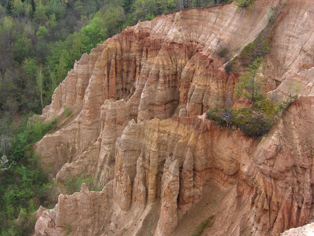
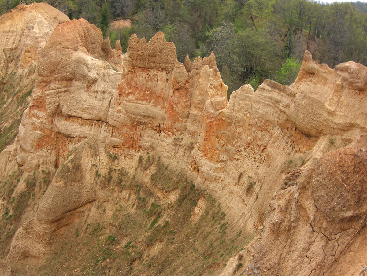
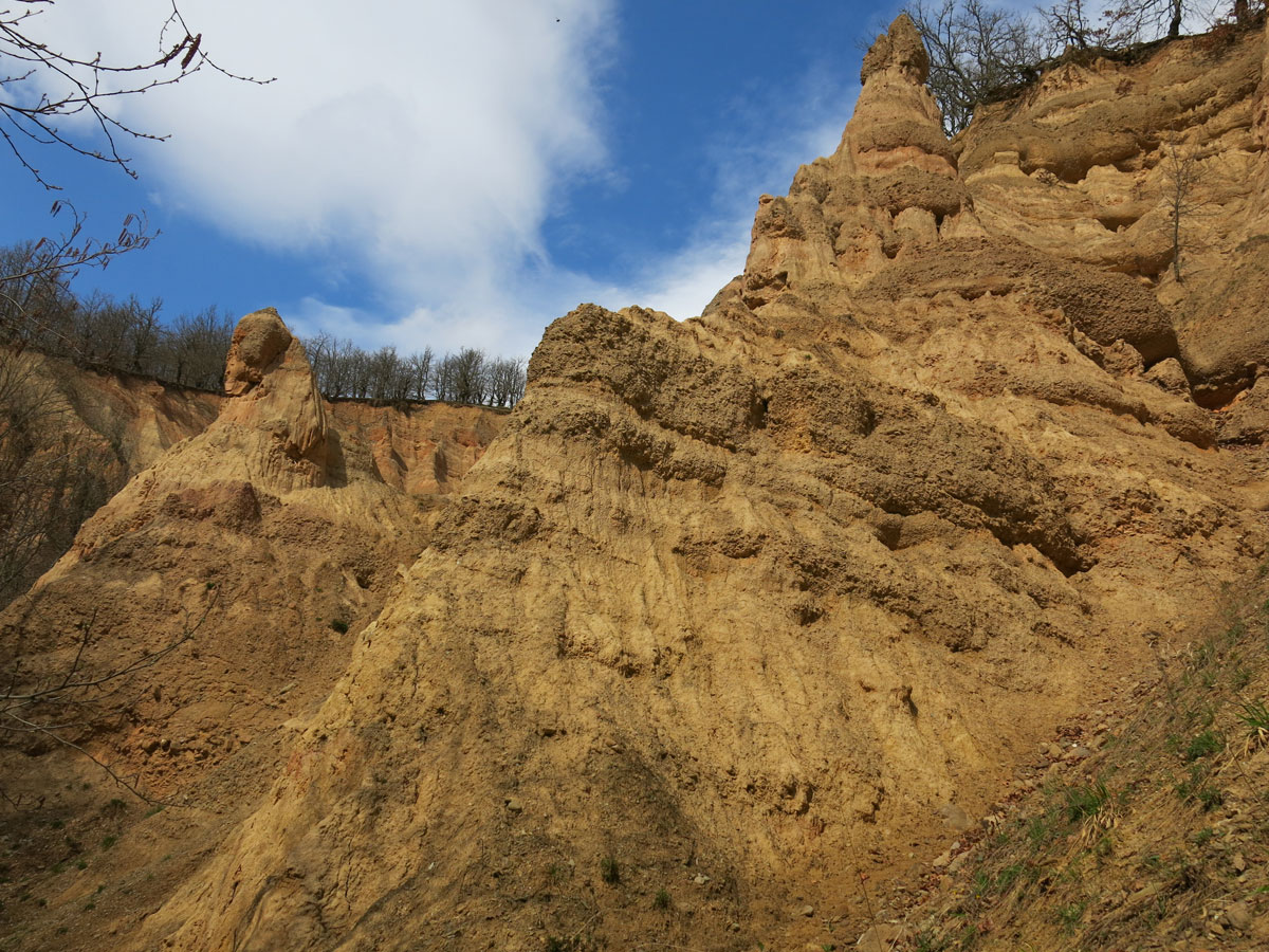
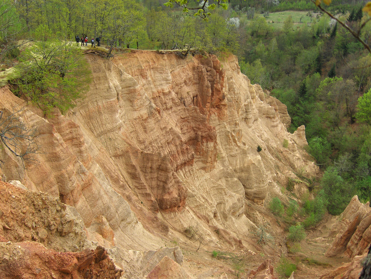
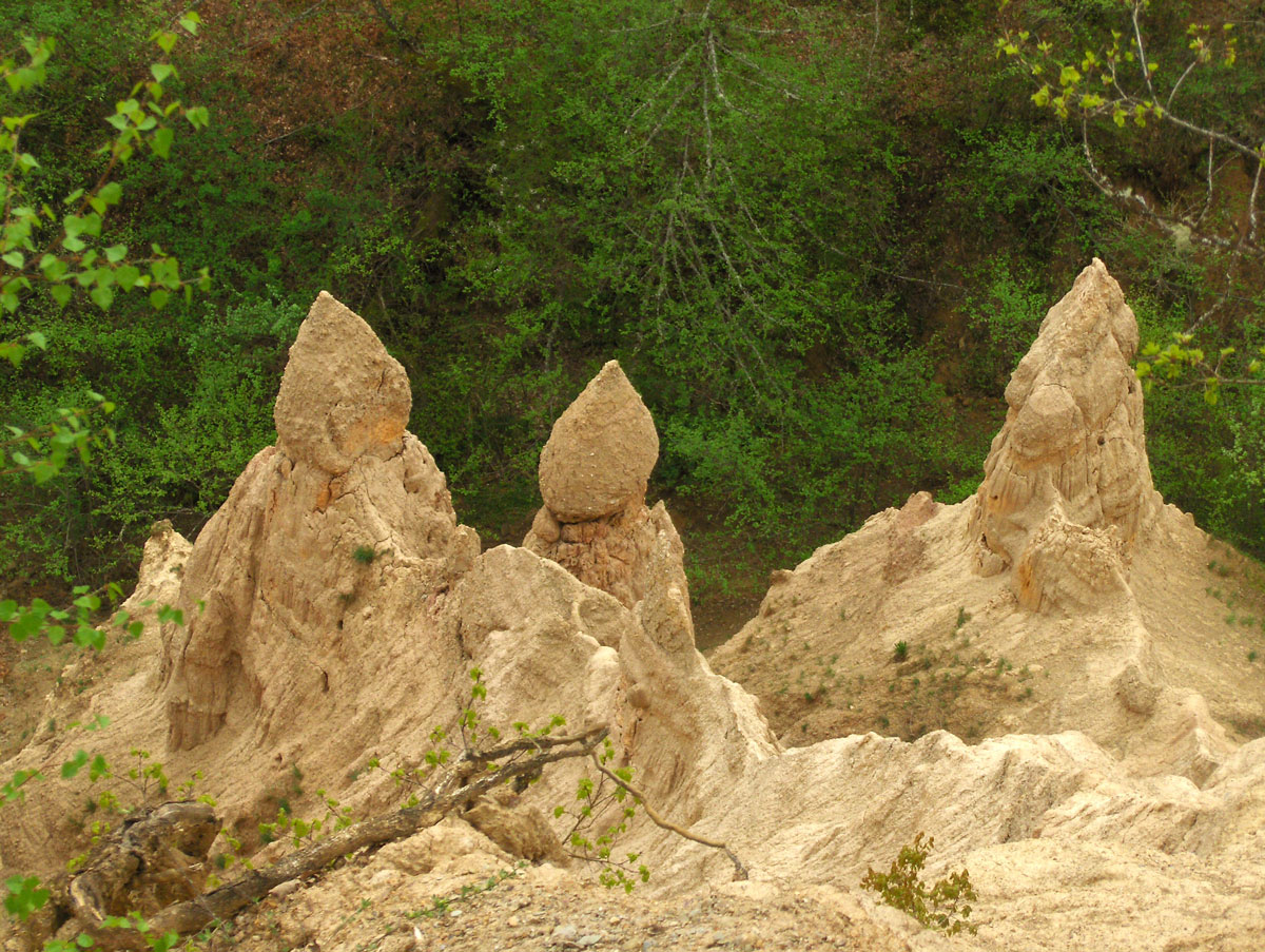
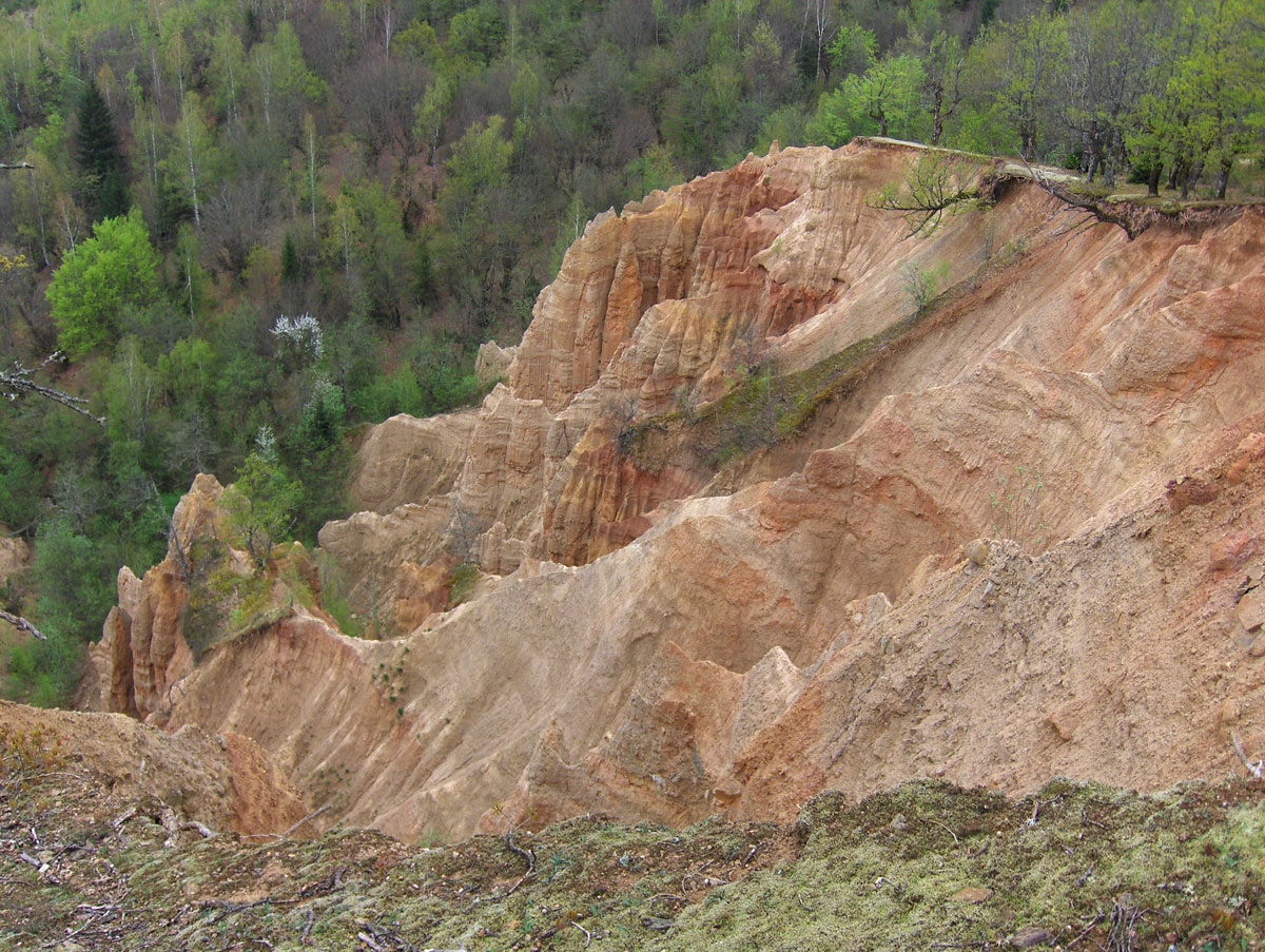
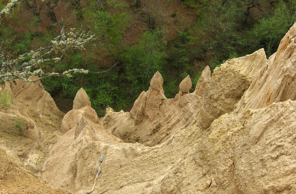
The Sand Pyramids are located in the broader area of Daničići, accessible by car via the old road connecting Foča and Miljevina. The largest and deepest craters featuring these formations are situated near the villages of Donje Selo, Sijerice, and Staništa, at an elevation of 650 – 700 m a.s.l.

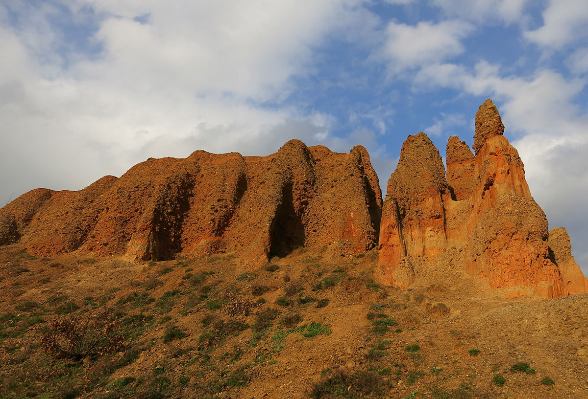
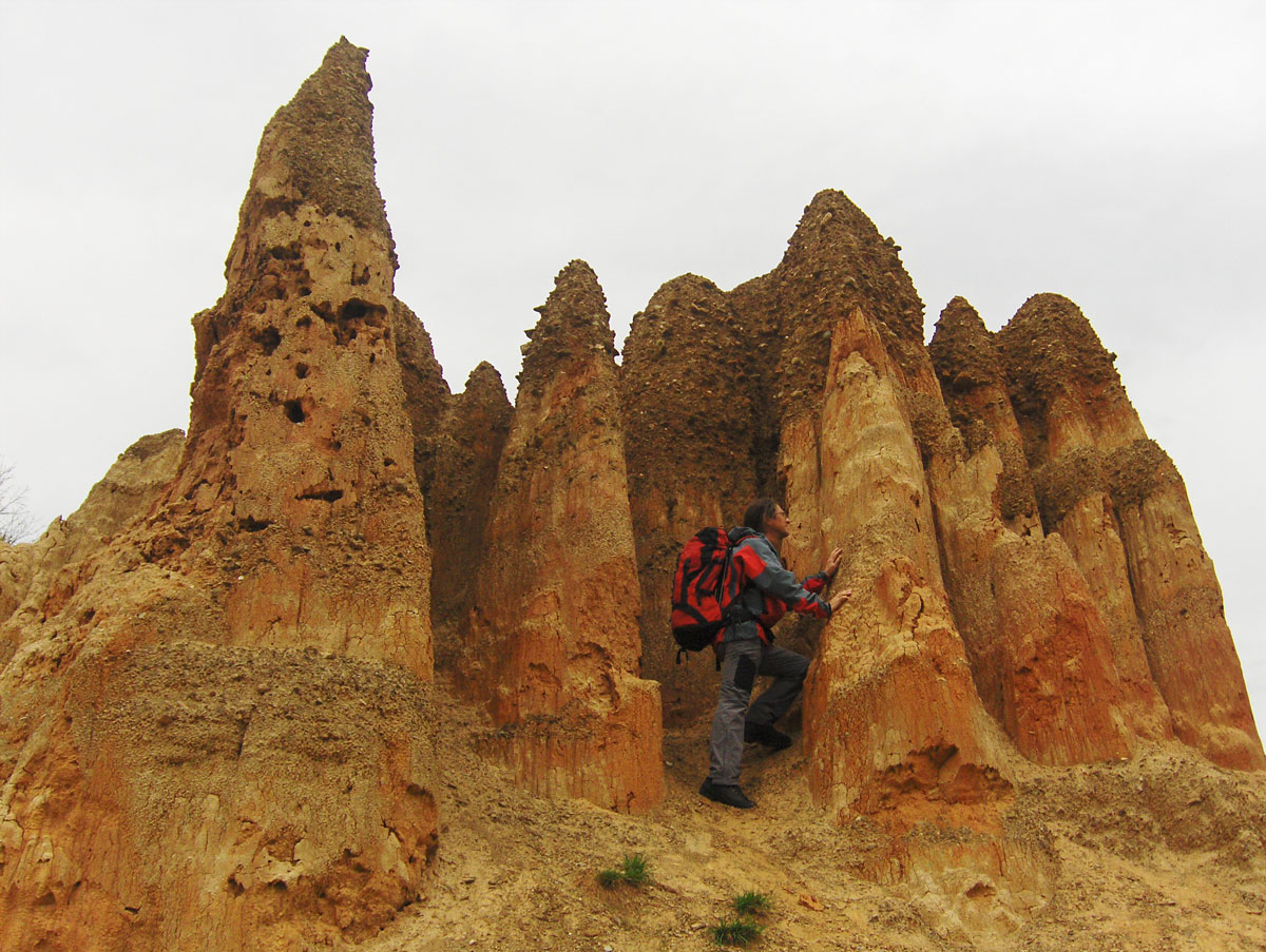
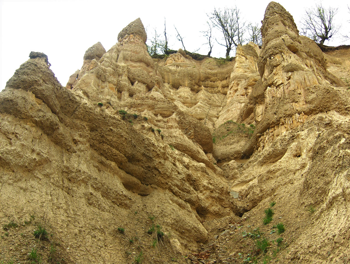
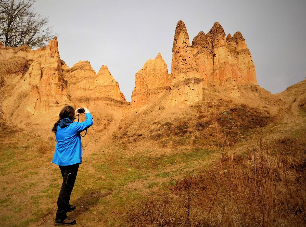
These pyramids are a true natural phenomenon, born from soil erosion and shaped by the relentless forces of rain, snow, wind, and sun. While they do not follow a strict pyramidal geometry, these furrowed sand pillars rise from broad bases and taper toward their peaks. They represent an extraordinary geomorphological rarity that continues to captivate both geologists and nature enthusiasts.

The process of erosion is constant. These formations do not disappear; instead, they continue to grow and evolve, carving out new craters and pillars over time. They are at their most beautiful when illuminated by the sun, which highlights a rich palette of earth tones—ranging from deep browns and oranges to vibrant yellows and reds.

The most accessible pyramids are located immediately beside the old Foča – Miljevina road, near the village of Staništa.

For the safety of visitors, a dedicated viewing platform and protective fencing have been installed above the main crater.Photographing and exploring the pyramids can be hazardous. The “eaves” or edges above the craters are often undermined by erosion and are not visible from the top edge. Extreme caution is advised, not only at this primary site but throughout the entire pyramid complex.

Work is expected to continue on the protection of the entire complex. Plans include the development of new pedestrian trails that will connect the largest craters, allowing for a more comprehensive and safer exploration of the site.

Text and Photography by: Braco Babić

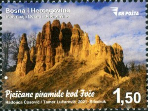
The significance of this natural wonder was officially recognized in 2021 when the public postal service, JP BH Pošta, issued a commemorative postage stamp featuring the Sand Pyramids of Foča. Year of Issue: 2021. Designers: R. Čosović / T. Lučarević


Cover Image: The Sand Pyramids, Daničići – Staništa (700 m a.s.l.)

Studeni potok i Gradina kod Umoljana

Autor teksta i fotografija: Braco Babić 

Umoljani i seoski turizam

Selo Umoljani se nalazi na južnoj strani Bjelašnice smješteno u prostranoj dolini na nadmorskoj visini od 1353 m. Administrativno pripada općini Trnovo, FBiH. To je drevno naselje gdje je nekad bila ilirska utvrda koja ga štitila. O tome svjedoče ostaci kamenih zidina, temelji nastambi i bunari za vodu na Gradini i Pošijaku.
Stanovništvo se oduvijek bavilo stočarstvom i zemljoradnjom, u posljednje vrijeme i seoskim turizmom (u razvoju). Porijeklom su od hercegovačkih stočara koji su ovdje dolazili i dogonili stoku “sitnog zuba“ (ovce i koze) u ljetnom periodu radi ispaše na planini Bjelašnici. Bili su to seljani iz okoline Mostara, Nevesinja, Čapljine i Ljubuškog. Neki su ostali zimi i uvidjeli da se u ovom planinskom kraju može lijepo živjeti i tu se trajno naselili.

Nekadašnje ime za Hercegovinu bilo je Hum i te stočare su nazivali Humnjacima, a vjerojatno je i selo po njima dobilo ime. Umoljani je najveće naselje na području poznatom po nazivu Zabjelašnica. Na tom području smješteno je 13 sela. Zabjelašnica je prostrana visoravan okružena planinama: Bjelašnicom (2067 m) na sjeveru, Treskavicom (2086 m) na istoku, Visočicom (1967 m) na jugu, kanjonom rijeke Rakitnice i Obljem (1896 m) na jugozapadu i zapadu.

Umoljani sa okolicom je zanimljiva turistička destinacija koju vrijedi posjetiti. Na putu prema selu u Dolovima nalazi se srednjovjekovna nekropola sa stećcima i mezarje sa nišanima iz osmanskog perioda. Nešta dalje, poviše od tog mjesta sa puta vidi se skupna malih vodenice na Sedreniku. Na ulazu u selo je smještena džamija sa kamenom munarom, o njenom opstanku kroz minula stoljeća i tri rata govori jedna legenda. Iznad sela nalazi se stijena sa reljefom okamenjene aždahe (zmaja) i stare kolibe katuna na Gradini. Najprivlačnija je posjeta Studenom potoku koji meandrira lijepom dolinom na čijem kraju se nalazi vodopad i vidikovac na kanjon rijeke Rakitnice.  
U selu postoji nekoliko privatnih ugostiteljskih objekata u kojima su na jelovniku domaća hrana i specijateteti bosanske kuhinje. Kod mještana mogu se kupiti unikatne rukotvorine pravljene od vune sa tradicionalnim folklornim motivima i šarama, prirodna zdrava hrana od mliječnih i mesnih proizvoda kao i povrća proizvedenog bez upotrebe vještačkih đubriva i pesticida.

Kružna planinarska tura iz Umoljana na Gradinu i Studeni potok

Studeni potok svojom lijepom dolinom privlači mnoge planinare i ljubitelje prirode u sva četiri godišnja doba. Najkraći put iz Umoljana do Studenog potoka vodi pješačkom stazom od mezarja (groblja) gdje se ispred može parkirati automobil. Staza je obilježena planinarskim oznakama (markacijama) i putokaznim tablama. Od mezarja započinje uspon blagom strminom i ubrzo se stiže do mjesta sa kojeg se vidi stijena sa reljefom okamenjene aždahe. Malo poviše se nalazi katun Gradina, malo čobansko naselje smješteno iznad Umoljana. Do katuna se može prići i asfaltiranom cestom iz Umoljana (oko 1,5 km). Od Gradine nastaviti nizbrdo poljskim putem do izvora Studenog potoka. Na ulazu u dolinu se nalazi nadstrešnica sa klupama a malo dalje su tri veća izvora. Nakon odmora i osvježenja čistom planinskom vodom od izvora dalje nastaviti nizvodno pokraj potoka desnom stranom doline.
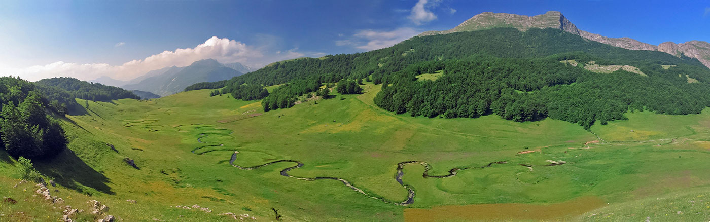
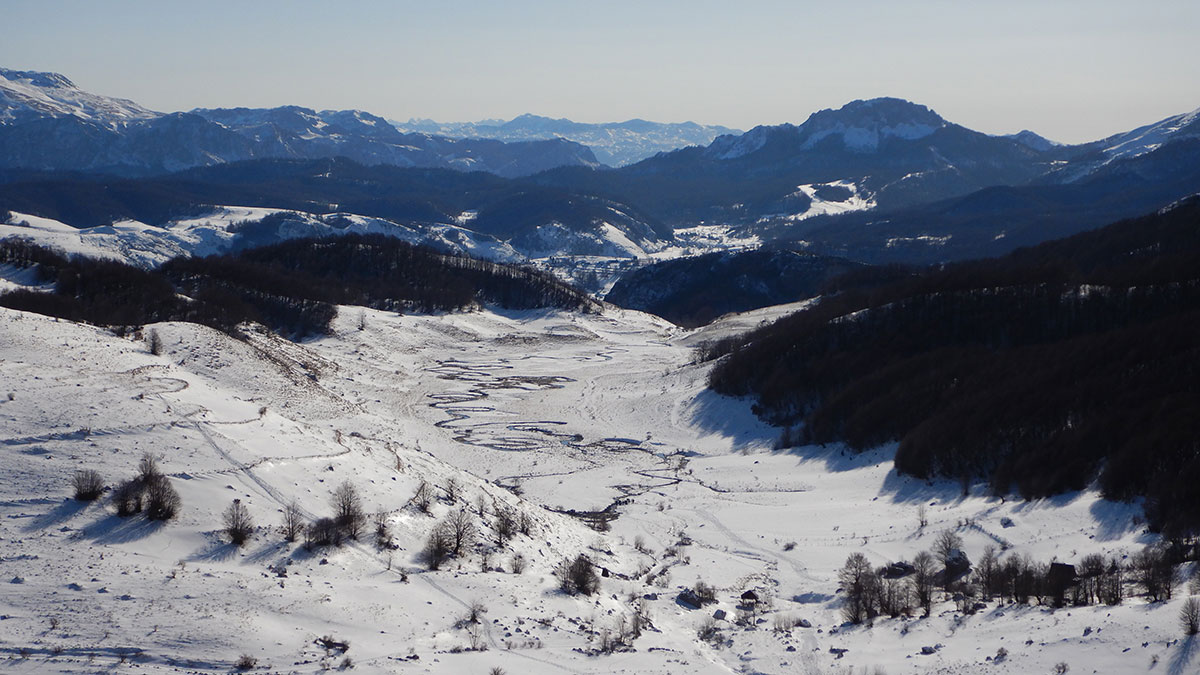
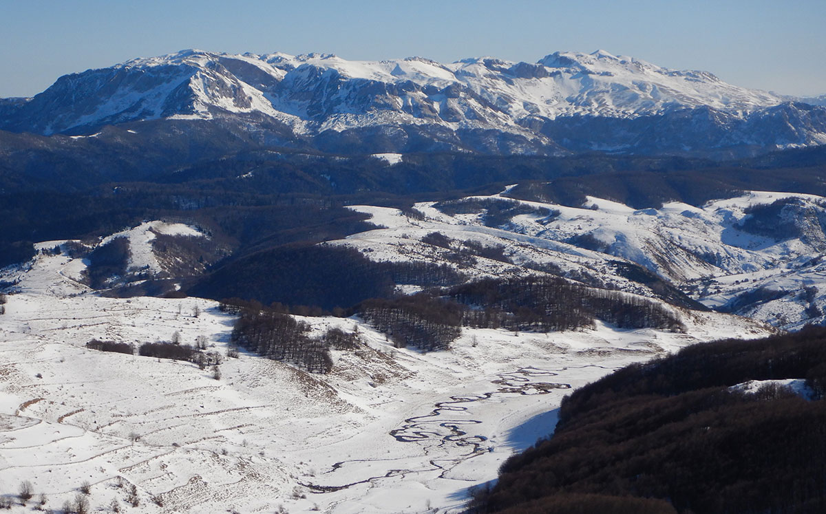
Dok potok polako i tiho meandrira dolinom u skladu prema zakonima prirode u dolini vlada mir i duboka tišina. Jako lijep krajolik za uživanje svakom od prolaznika. Na kraju doline potok se na mjestu Badnji obrušava vodopadom u kanjon rijeke Rakitnice sa visine od oko 400 m. Vodopad je sezonskog karaktera (u proljeće i jesen) a najbolje se vidi sa vidikovca na Prutu (1436 m/nv) – na lijevoj strani kanjona Rakitnce, kod sela Bobovica na susjednoj planini Visočicici. Od sela Bobovice do vidikovca na Prutu potrebno je oko 30 minuta hoda čobanskom stazom (nije obilježna putokazom i pl. markacijom!).

Prije Badnji gdje se dolina sužava nalazi se raskrižje staza koje je označeno putokaznim tablama: desno staza vodi za selo Gornji Lukomir, a lijevo za selo Umoljani. Od ovog raskrižja krenuti prema Umoljanima stazom preko Rudina gdje se nalazi vidikovac i klupa za odmor. Sa vidikovca se pruža pogled na impresivni kanjon rijeke Rakitnice (desna pritoka Neretve). Kanjon je dužine oko 20 km i dubok preko 1000 m – najdublji u BiH.
Od vidikovca na Rudinama nastaviti stazom prema vrelu Sedrenik gdje se na potoku nalazi nekoliko malih vodenica. Dalje krenuti stazom prema Umoljanskoj džamiji te cestom kroz selo do parkinga za automobile ispred mezarja (groblja). Ukupno za ovi turu sa ragledanjem, fotografisanjem i pauzama za odmor potrebno je 2,5 – 3 sata hoda.

Planinarske ture iz Umoljana na Bjelašnicu

Umoljani su povoljna polazna tačka za mnoge pl. ture i uspone na vrhovima Bjelašnice: Krvavac (2062 m), Veliki vrh (1726 m), Siljevica (1662 m), Orlovac (1525 m), Saruk (1726  m), Obli kuk (1750 m), Kobilica (1826 m), Ledni kuk (1843 m), Rasuha (1842 m) i Obalj (1896 m), Izazovna je i razgledna pl. tura u selo Gornji Lukomir (1472 m/nv) dolinom Studenog potoka i iznad kanjona rijeke Rakitnice. U Gornji Lukomir se može pristupiti i stazom preko Saruka, Oblog kuka i Oblja a vratiti se u Umoljane predhodno navedenom stazom u suprotnom smjeru (kružna tura). Najveći broj staza je obilježen putokaznim tablama i planinarskim oznakama (markacijama).

Pristup u Umoljane

Iz pravca Sarajeva krenuti sa Stupske petlje magistralnim putem za Foču i na raskršću kod kamenoloma u Krupcu skrenuti desno na regionalni put koji vodi u olimpijski skijaški centar na Bjelašnici (u Babinom dolu) te dalje nastaviti pored Bijelih voda i sela Šabići do mosta na Rakitnici. Kod mosta skrenuti desno na asfaltiranu lokalnu cestu koja na pojedinim mjestima uz oštre serpentine vodi u selo Umoljani (ukupno oko 50 km).


Himalayan Heights: 2009 Mera Peak Expedition & Kathmandu Guide

From the Diary of Braco Babić:

Text and Photography by: Braco Babić

My long-held desire to visit the Kingdom of Nepal and trek through the world’s greatest mountain range—the Himalayas—became a reality quite unexpectedly. Shortly after returning from Turkey and summiting Ararat (5137 m a.s.l.) on August 30, 2009, I arrived home in Sarajevo and immediately applied for the expedition to Mera Peak (6476 m a.s.l.).

Joining me from Bosnia and Herzegovina were four fellow mountaineers: Jovo Elčić, Bobana Petrović, Redžep Grabus, and Sanja Mitrović.

The expedition was organized by the “Extreme Summit Team” (EST) from Belgrade. In recent years, EST has sparked a true renaissance in regional mountaineering, leading many climbers from BiH to world-renowned peaks such as Island Peak (6189 m a.s.l.), Ama Dablam (6856 m a.s.l.), Aconcagua (6962 m a.s.l.), Cho Oyu (8201 m a.s.l.), Manaslu (8163 m a.s.l.), and Mount Everest (8848 m a.s.l.).

The Path Less Traveled

What drew us to Mera Peak was the departure from the standard, mass-market trekking rutes. Unlike the popular trails toward Everest Base Camp, Kala Patthar, or Island Peak—where hikers stay in lodges and yaks transport supplies—our route was significantly more demanding.

We operated in expedition style: we slept in tents, managed our own mobile kitchen, and relied on the strength of the participants and our Sherpa porters rather than pack animals. While the classic ascent from the north side is primarily a high-altitude glacier trek, the southern and western approaches are technically much more challenging.

The Mystery of the Summit Height

An interesting detail for any cartography enthusiast is the discrepancy in official measurements for Mera Peak. According to the Nepal Mountaineering Association (NMA), it is the highest peak classified for trekking.

On our official climbing permit and the “Makalu-Barun National Park” map, the elevation is listed as 6654 m a.s.l. * However, on the maps we purchased in Kathmandu, the height is noted as 6476 m a.s.l.

Historical Legacy

The first successful ascent of Mera Peak took place on May 20, 1953, by Colonel Jimmy Roberts and Sen Tenzing. The region was first explored in the early 1950s by legendary British expeditions—the same pioneers who reconnoitered Mount Everest—including Edmund Hillary, Eric Shipton, and George Lowe.

October 12, 2009: Sarajevo – Beograd – London – Delhi

Our journey began in the early morning hours, departing Sarajevo at 04:00 AM for Beograd. By noon, we arrived at the “Nikola Tesla” Airport in Surčin, where we joined the rest of the expedition team.

The full team consisted of: Miloš Ivačković (Expedition Leader), Aleksandar Spasić and Sandra Božić (Beograd), Milan Kurilić and Dragan Malinović (Novi Sad), The five of us from Bosnia and Herzegovina.

In total, there were ten of us who would spend the next 24 days together in far-off Nepal. “Far-off” is perhaps an understatement—as we soon realized just how long the journey truly is. Since there are no direct flights from Europe to Kathmandu, our route took us from Beograd to London (a 3-hour flight), where we boarded our connecting flight to Delhi.

October 13, 2009: Delhi – Kathmandu

After a 12-hour flight, we arrived in Delhi at 06:00 AM. We spent the next six hours in the transit lounge waiting for our connection. The three-hour flight from Delhi to Kathmandu passed quickly, thanks to a bird’s-eye view of the Indian landscape—crisscrossed by mighty rivers and endless green fields—eventually giving way to the snow-capped peaks of the Himalayas.

With great anticipation, we waited to land in the land of the snow leopard, the mysterious Yeti, the red panda, yaks, and the legendary Sherpas, just as the travel guides describe.

Upon arrival in Kathmandu, we were greeted by sweltering heat and long queues for passport control and visas. Despite the exhaustion of the long journey, everyone was in high spirits. We laughed at Redžep’s joke regarding the intricate wood carvings decorating the airport interior: “I guarantee the craftsmen from Konjic carved this!” (referring to the famous woodcarving tradition in Bosnia).

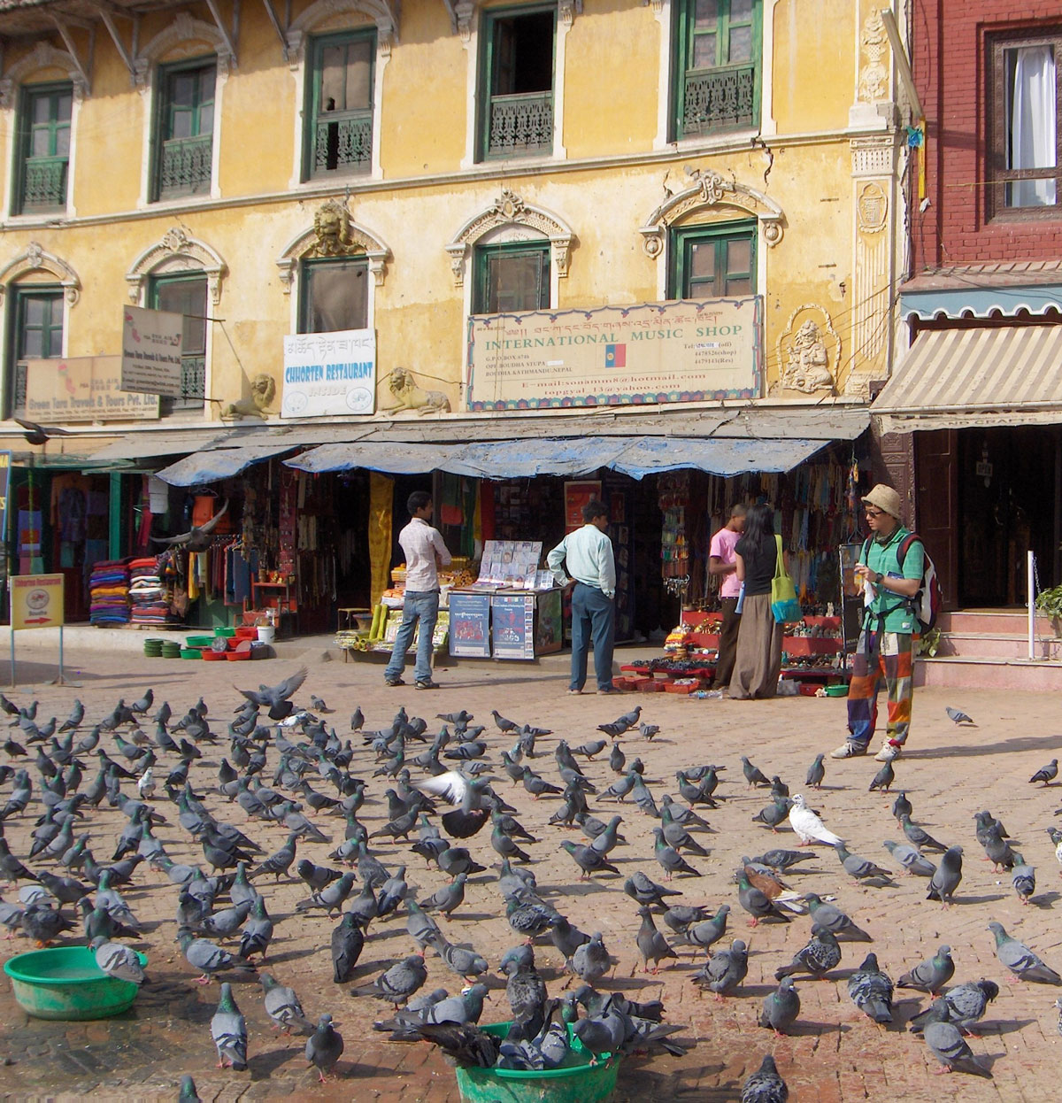
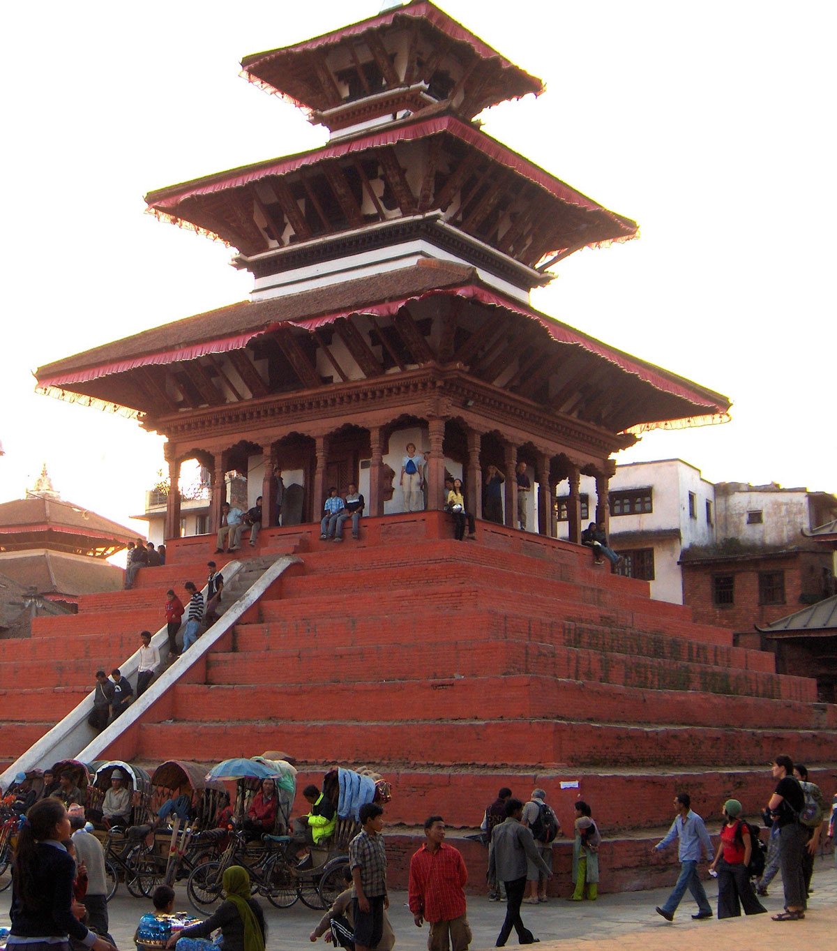
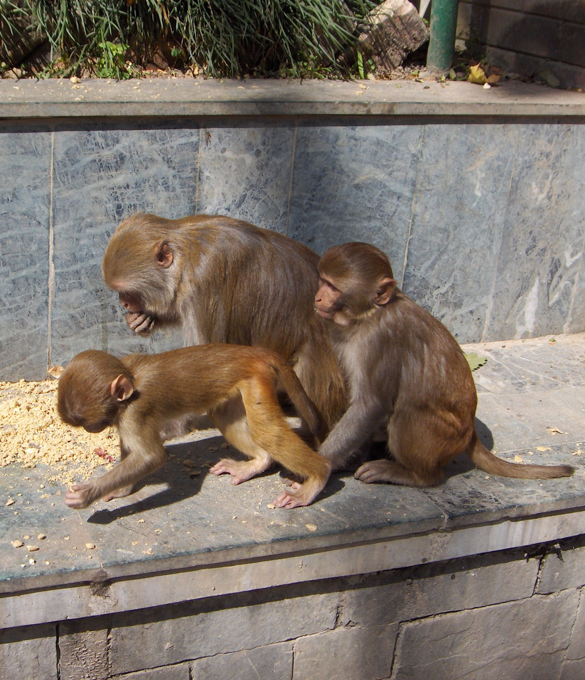
A thirty-minute minibus ride took us from the airport to Hotel Vajra. High walls and lush green vegetation hide the hotel from the outside world; monkeys jump from branch to branch in the hotel park as if in a real jungle. The main building and its annexes are constructed of red brick and carved wood, giving the entire estate the appearance of an old castle. We reached our rooms via stairs, huffing and puffing under the weight of heavy backpacks and transport bags, as the hotel has no elevator.

The Pulse of the Capital

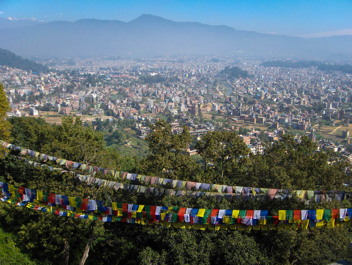
We set out to explore Kathmandu late in the afternoon. Founded in the 13th century, the capital of the Kingdom of Nepal sits at 1300 m a.s.l. in the center of a fertile valley at the confluence of the Baghmati and Bishanmati rivers. Since the 1970s, it has been a major hub for tourism and a pilgrimage center for Hindus and Buddhists. With nearly one million residents (double that including the suburbs), it unfortunately sits on the list of the ten most polluted cities in the world.

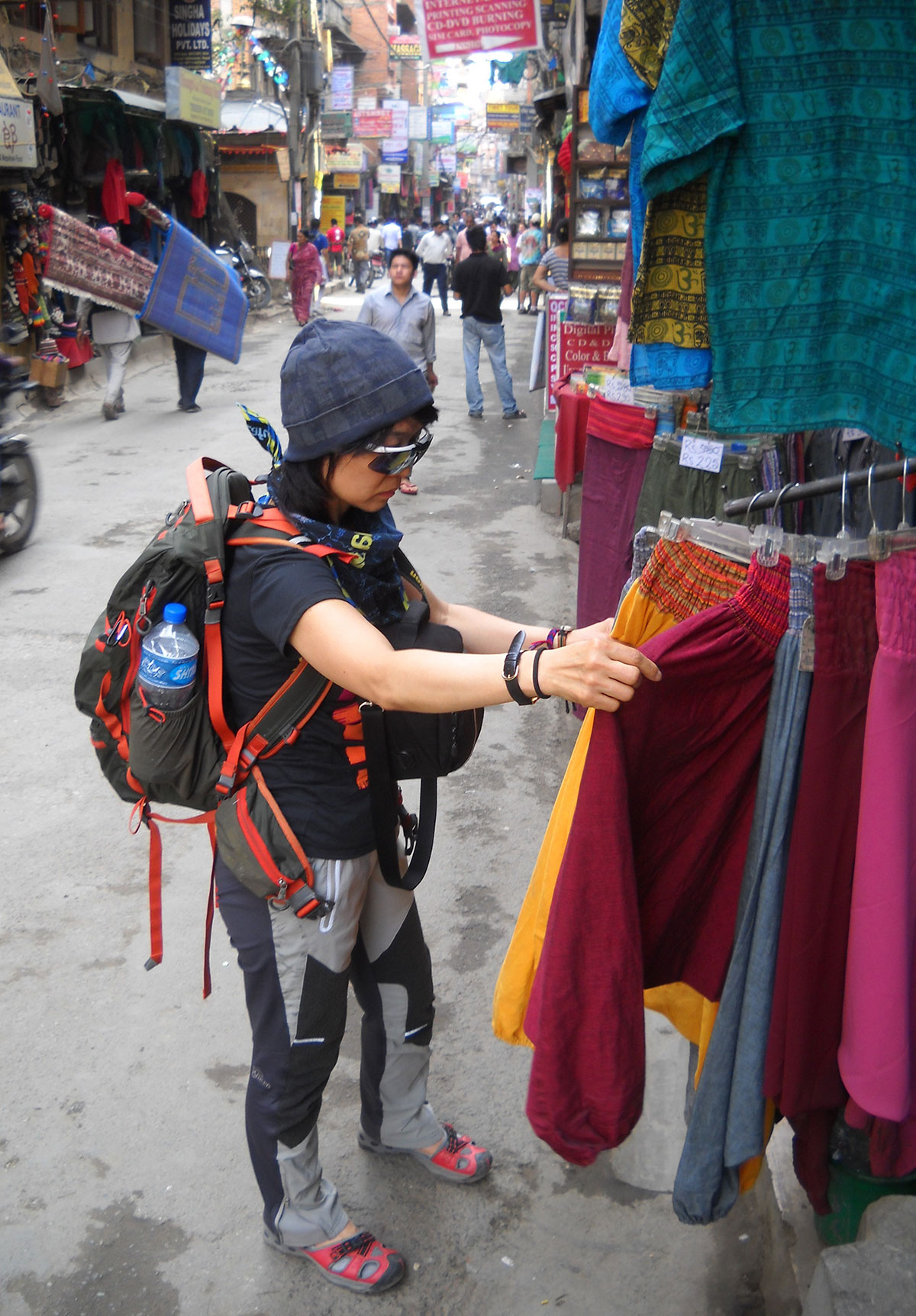
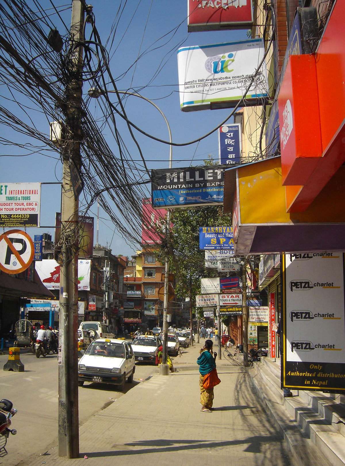
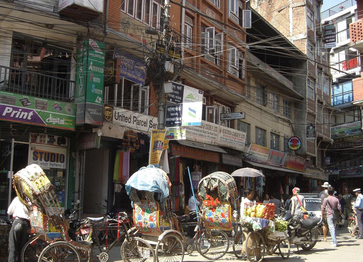
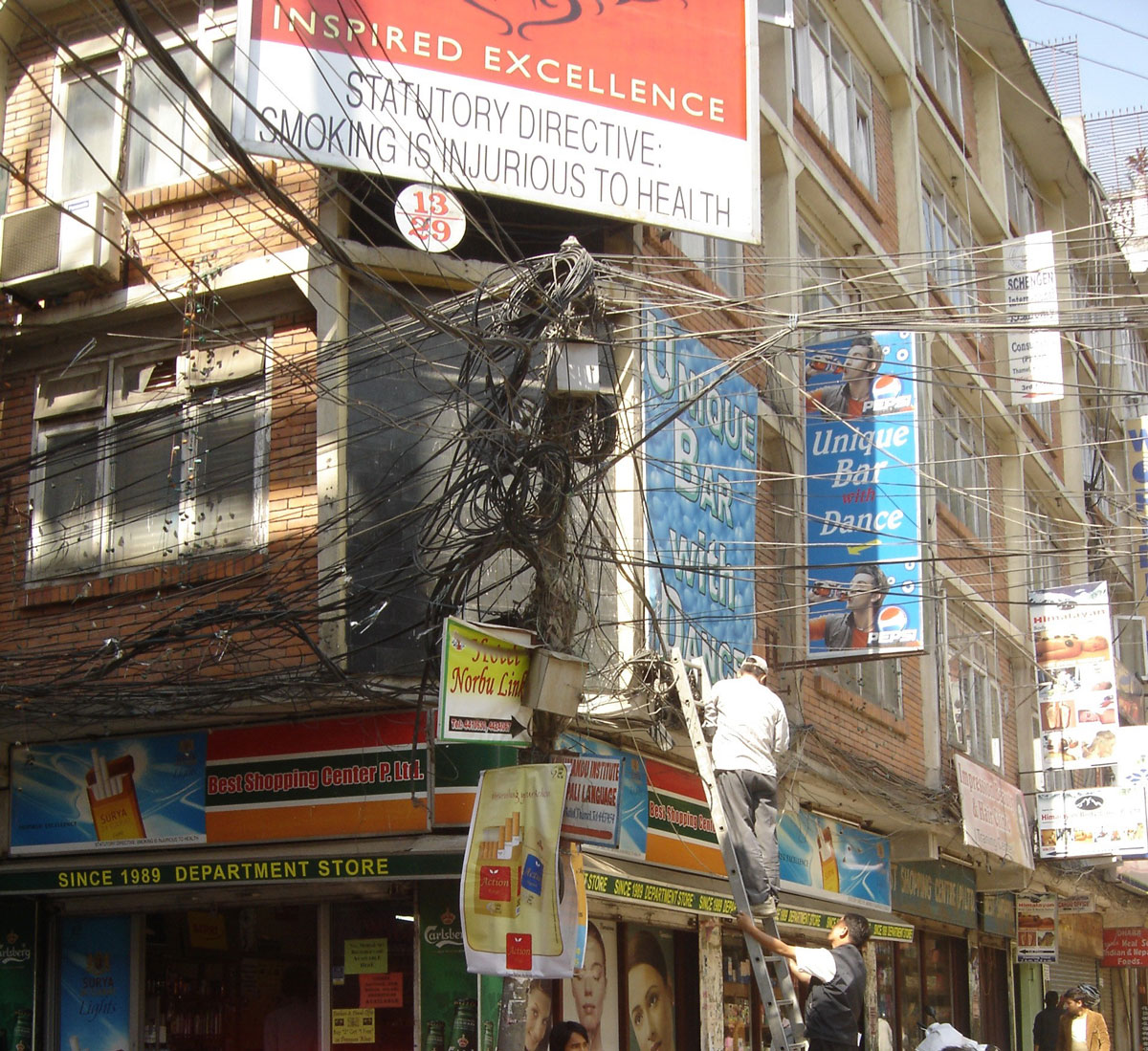
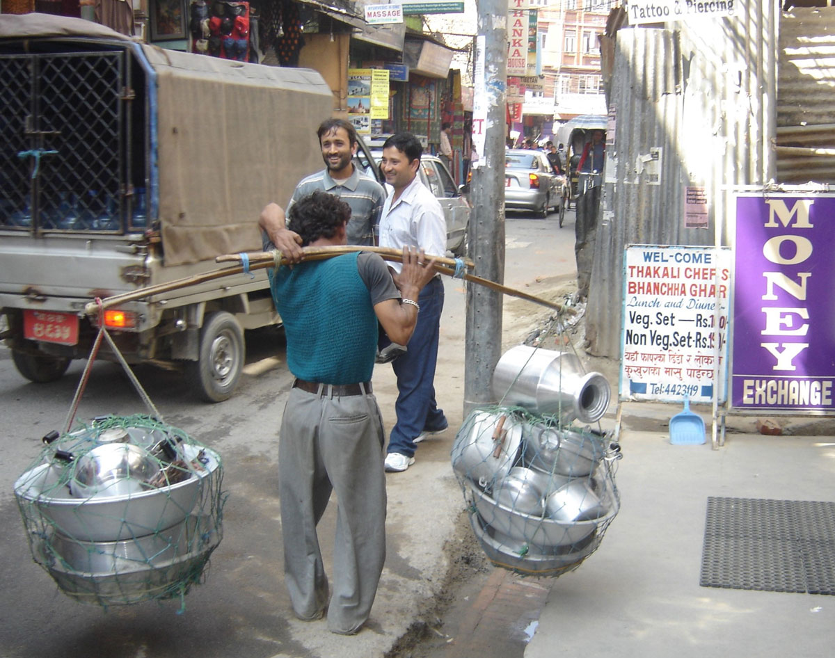
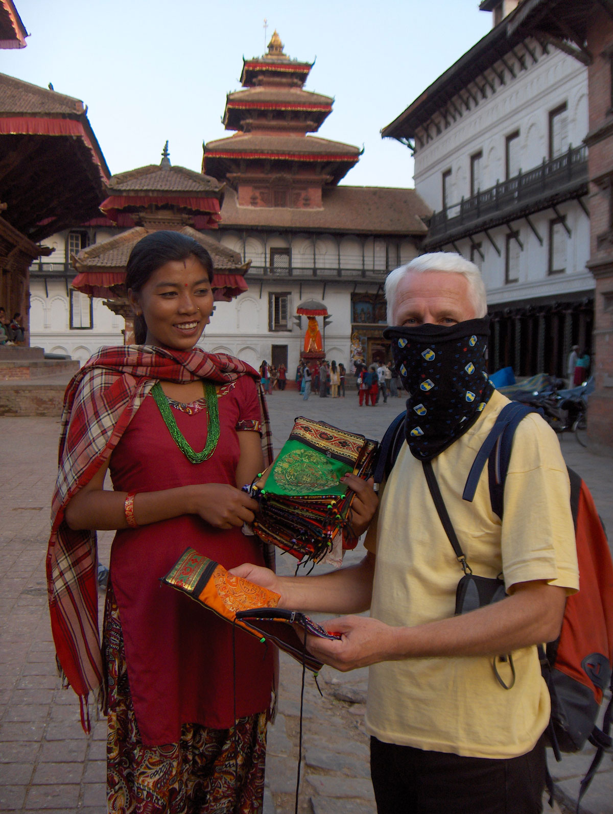
We reached Thamel, the popular tourist and commercial district, via dusty streets cluttered with piles of trash. The streets have no sidewalks, so pedestrians move alongside cars, motorcycles, cyclists, and rickshaws in a chaotic flow of traffic from both directions. To avoid being hit, our reflexes had to be as sharp as a cat’s. Surprisingly, despite the chaos, there were no accidents; everyone—drivers and pedestrians alike—was smiling, with no signs of anger or quarreling.

With Miloš, who had visited Kathmandu several times before, we toured the mountaineering and alpinism equipment shops. The selection is massive, ranging from stores selling original global brands to shops with skillfully made local copies. The prices for originals are the same as in Europe with no room for bargaining, whereas the prices for the “knock-offs” can be negotiated significantly. This first tour was purely informational; we saved the serious shopping for tomorrow.

A Birthday in the Dark

We had dinner at “Helena’s,” a restaurant in the heart of Thamel located in a building that towers over the rest of the city. We ate in the rooftop garden, which offers a wide selection of both national and European dishes.

In the middle of dinner, the power went out. The fairytale image of the city, illuminated by thousands of colorful lights, instantly vanished into darkness. Kathmandu has long suffered from electricity and water shortages, with sudden, unannounced reductions. The staff didn't miss a beat, quickly firing up the restaurant’s generator.

During dinner, I received a birthday message from my wife. I must admit, celebrating a birthday in the middle of Kathmandu isn't a cheap affair when it comes to treating your friends, but it’s a rare occasion that deserves a proper celebration!

Back at the hotel, we went to bed early, exhausted by the travel and the sensory overload of the shops. By morning, we finally understood why the local dogs spend the entire day napping in the sun on the streets: they didn't close their mouths all night, barking incessantly until dawn.    

October 14, 2009: Kathmandu

We spent the day purchasing the final pieces of mountaineering equipment we were missing. Upon returning to the hotel in the evening, we were occupied with packing until the late hours. The weight of our transport bags had to be limited to 20 kg, while our backpacks were kept to 10 kg. We double-checked the weight on the hotel scale to ensure we met the strict baggage allowance for the flight to Lukla. Anything unnecessary for the expedition was stored in the hotel's luggage room for safekeeping until our return.

October 15, 2009: Kathmandu – Lukla

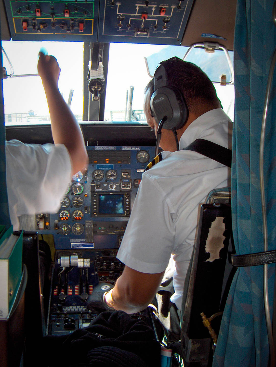
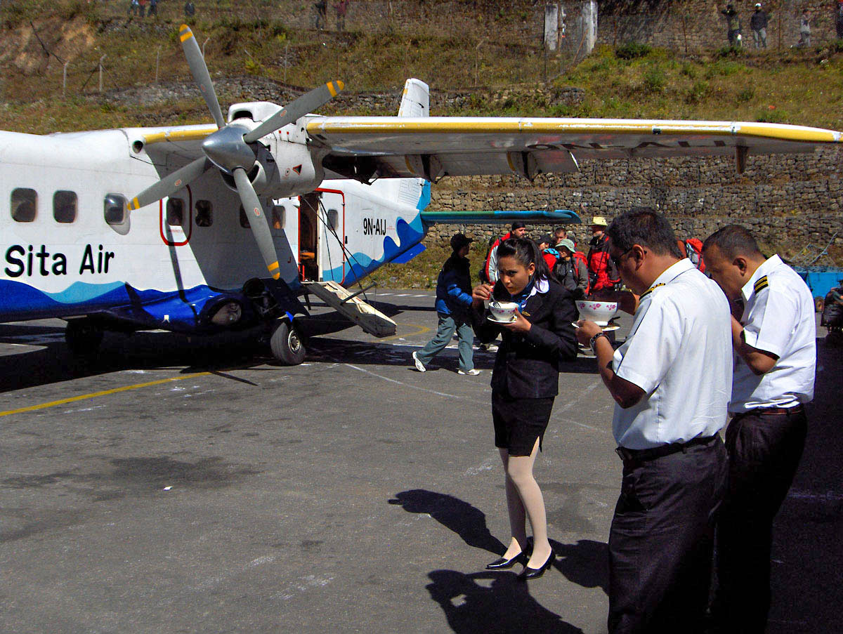
Finally, today we depart for the Himalayas. We rose at 04:00 AM to beat the infamous traffic and reach the airport without delay. At the domestic terminal, we struggled through the crowds, heavily burdened by our expedition gear. After a smooth weigh-in and check-in process, we boarded our flight to Lukla. The aircraft is small, carrying only 15 passengers and 3 crew members. Before takeoff, the flight attendant handed out cotton earplugs and candy, though neither helped much against the deafening roar of the engines.

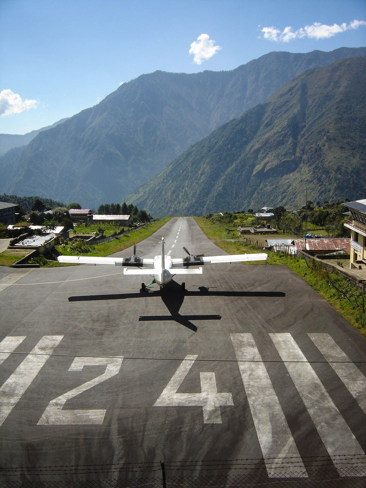
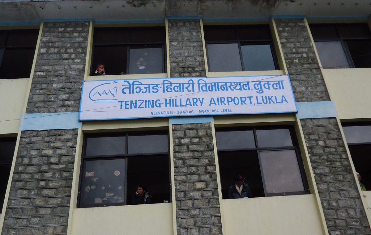
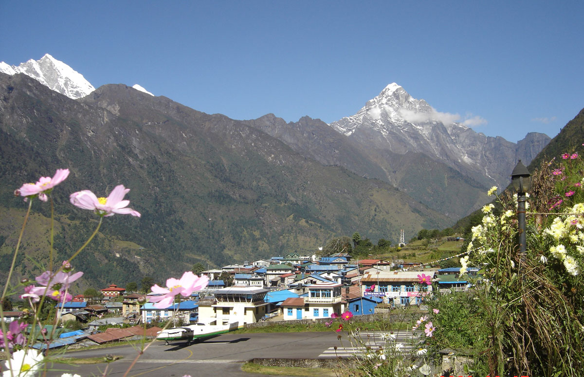
Many stories exist about the flight to Lukla, having long since become part of Himalayan legend. The short runway, only 457 m long and slightly sloped, is tucked between two mountain peaks. It requires pilots to have specialized training: you land “uphill” toward a vertical rock wall and take off “downhill” directly into a deep gorge. Because of this, the “Tenzing-Hillary” Airport (renamed in 2008 after the first conquerors of Mount Everest) is considered the most dangerous airport in the world. A clear morning guaranteed us a magnificent aerial view of the Himalayan giants before landing safely at 07:00 AM.

Life in the “Gateway to the Himalayas”

We settled into the “Paradise Lodge,” located right next to the air traffic control tower. Lukla (2843 m a.s.l.) sits east of Kathmandu, consisting of about a hundred stone houses on a narrow plateau. Until 1977, this was a remote outpost, ten days’ walk from the nearest transport. The airport's construction, driven by the initiative of Edmund Hillary and Tenzing Norgay, brought a prosperity that continues today.

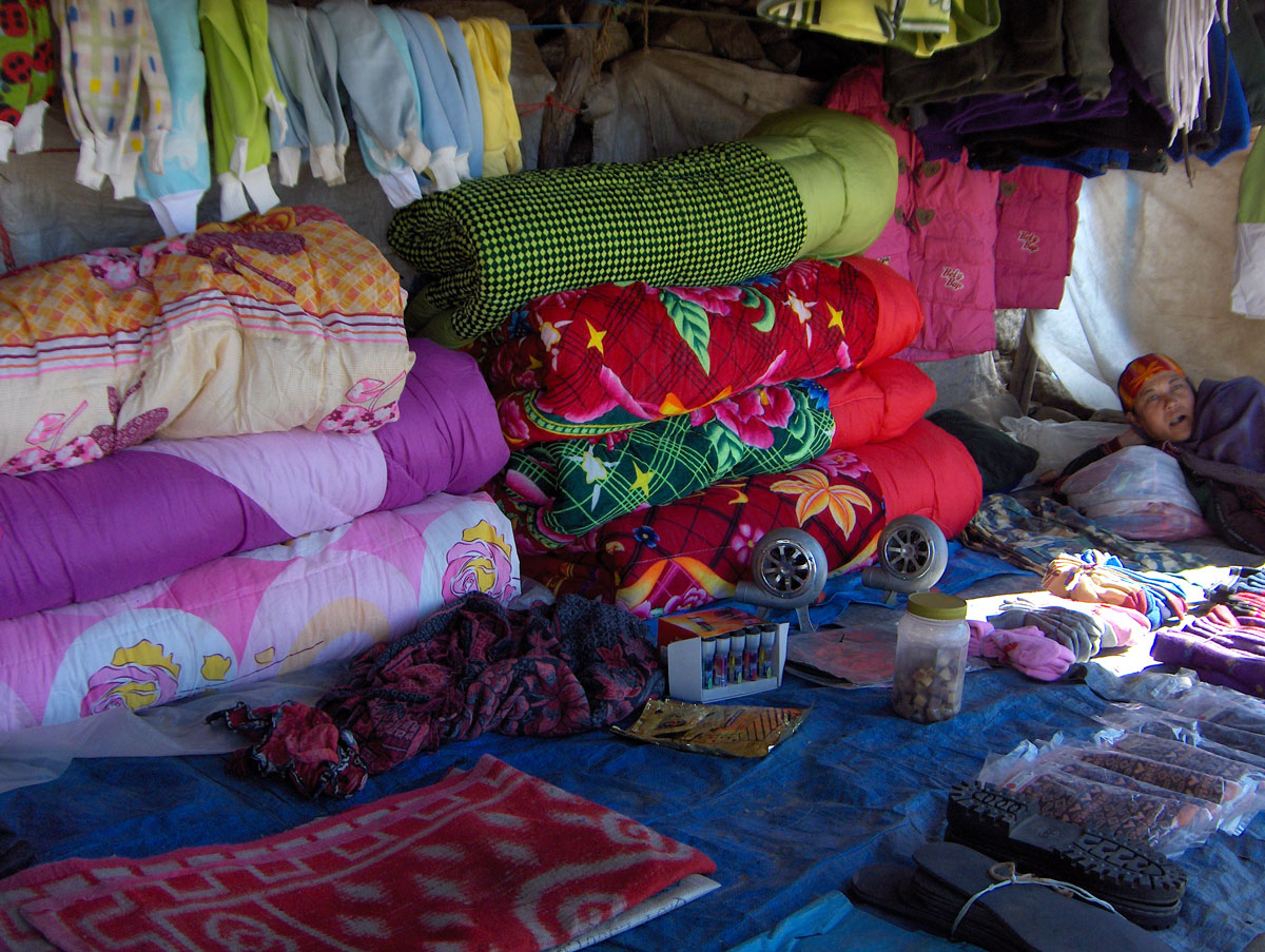
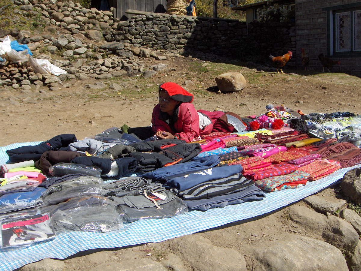
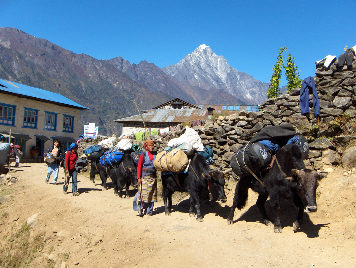
The main street of Lukla hums like a beehive. Porters, loaded livestock, tourists, Buddhist monks, and street musicians all converge here. A unique sight is the outdoor gambling tables where people play a Nepalese version of “barbut” with incredible passion—everyone participates, from the elderly to young children. While the shops offer goods from all over the world, there are few buyers, as most people stock up in Kathmandu where prices are significantly lower.

The Crossroads

Two major paths diverge from Lukla:

  1. The first leads to Namche Bazar and toward Everest Base Camp.
  2. The second leads over the Zatrwa La pass toward our objective—Mera Peak.

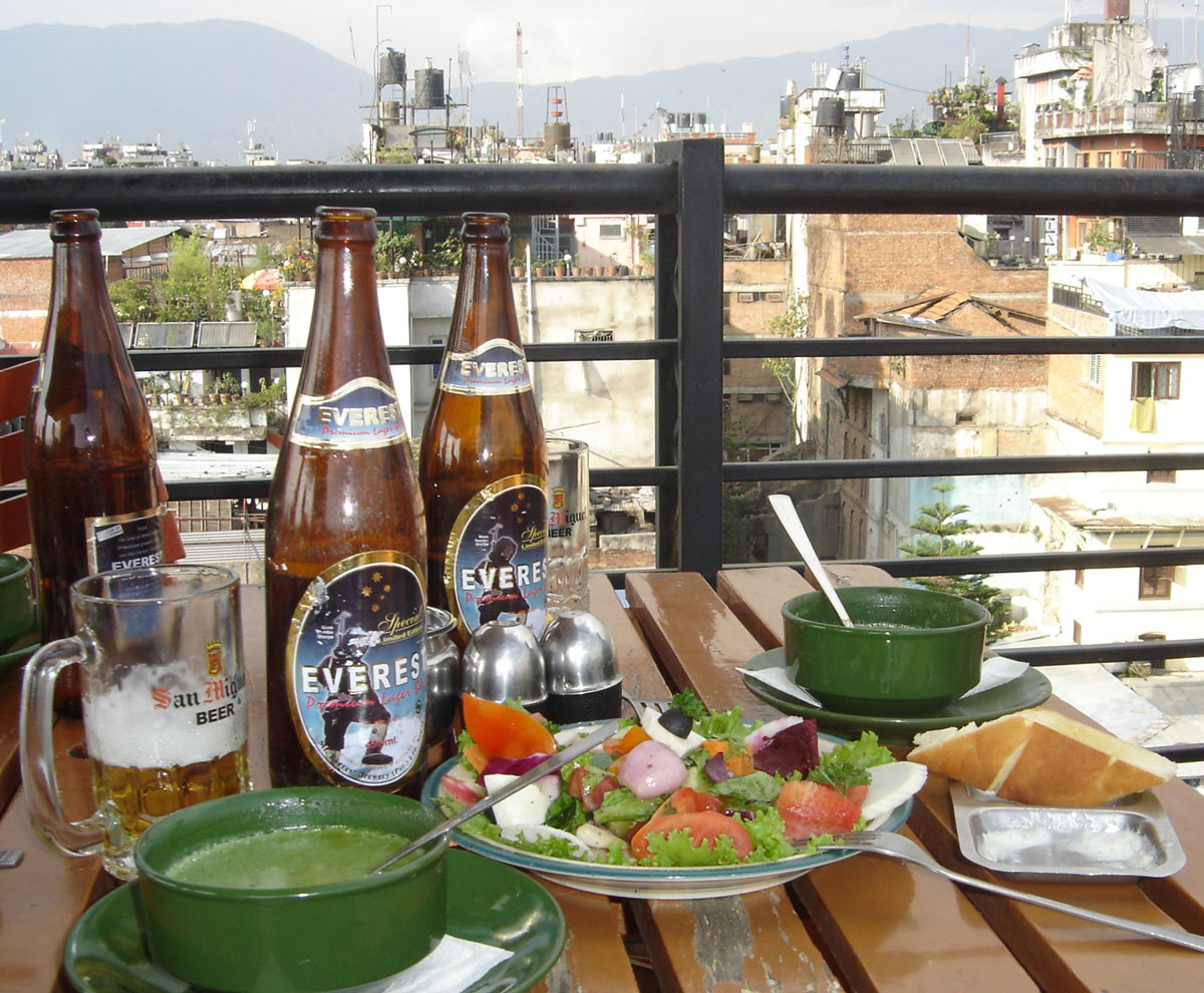
While dining at the lodge, we were surrounded by photos of world-famous climbers who have stayed here. Interestingly, we even spotted a poster of the Serbian singer Vlado Georgiev, who filmed a music video in this region. We ended our day with an “Everest” beer (650 ml), promising to toast here again upon our return, regardless of whether we reach the summit of Mera Peak.

October 16, 2009: Lukla – Chutanga

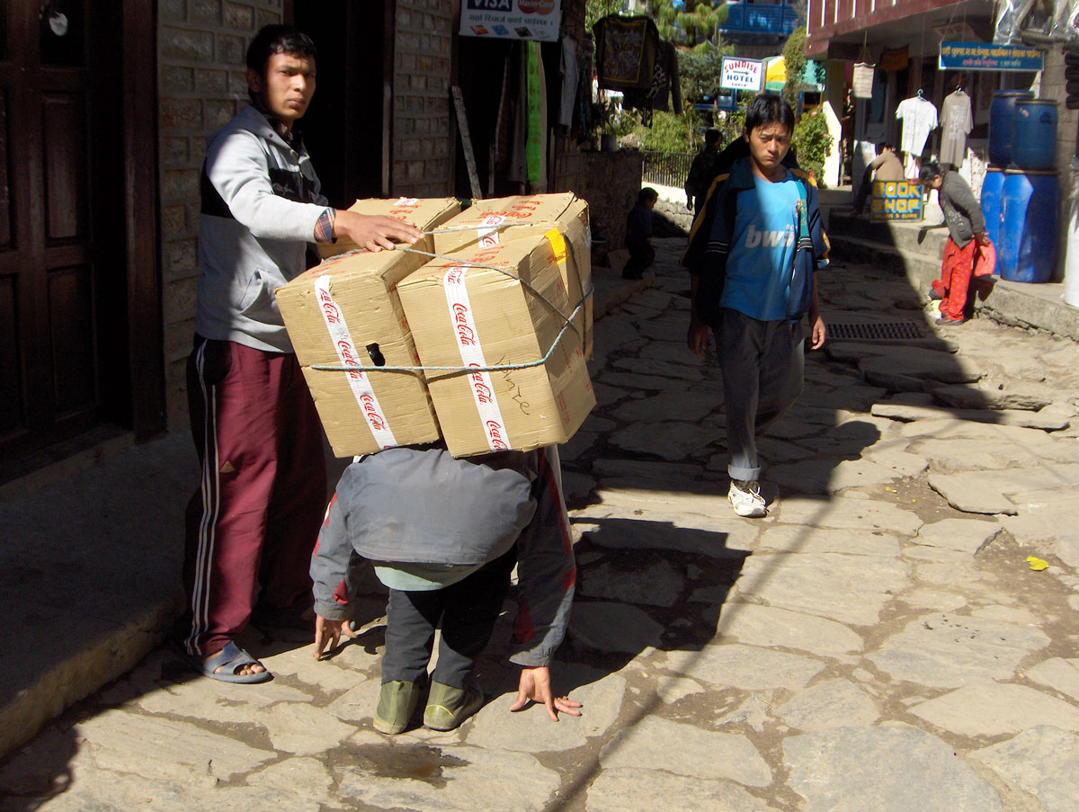
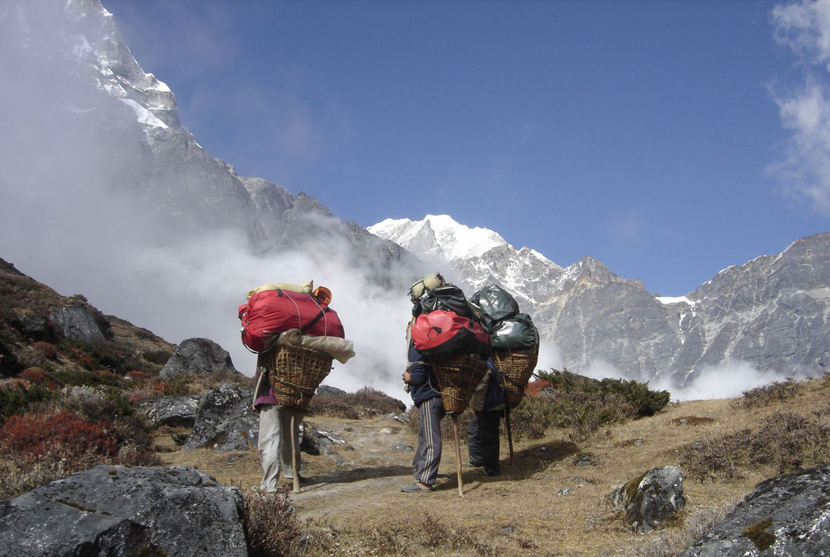
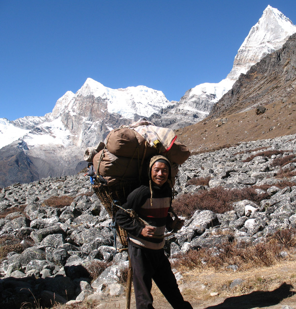
Early in the morning, we were awakened by the commotion of our guides and porters busily preparing for today’s ascent to the village of Chutanga, where we will stay for the next two days and nights for acclimatization. The porters set off before us, heavily burdened with our transport bags, tents, mobile kitchen, dining equipment, food supplies, and camping gear. We were in awe of their strength and endurance; carrying such loads (40–50 kg) on a steep, narrow trail for kilometers is a feat most of us couldn't sustain for even a hundred steps.

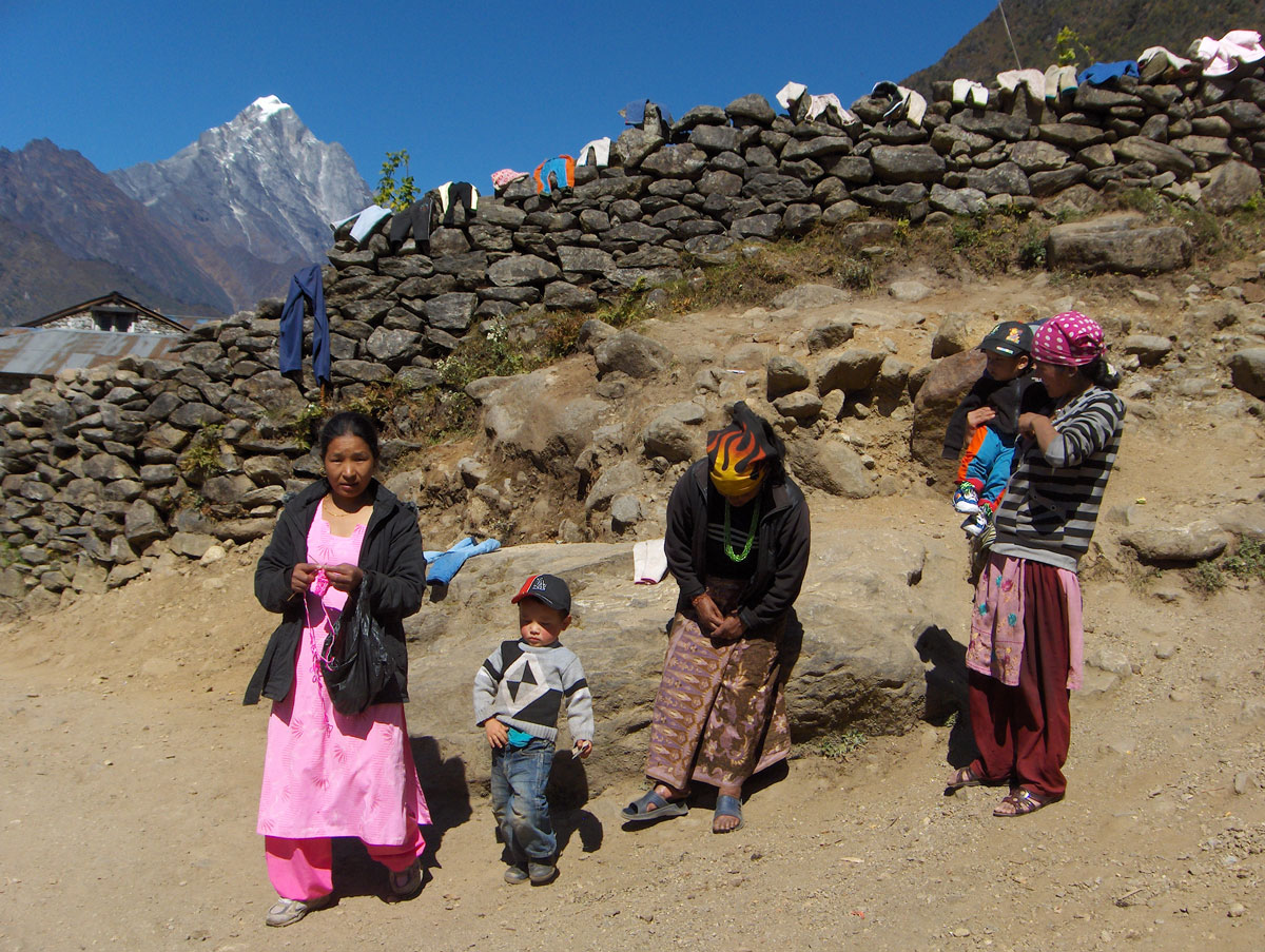
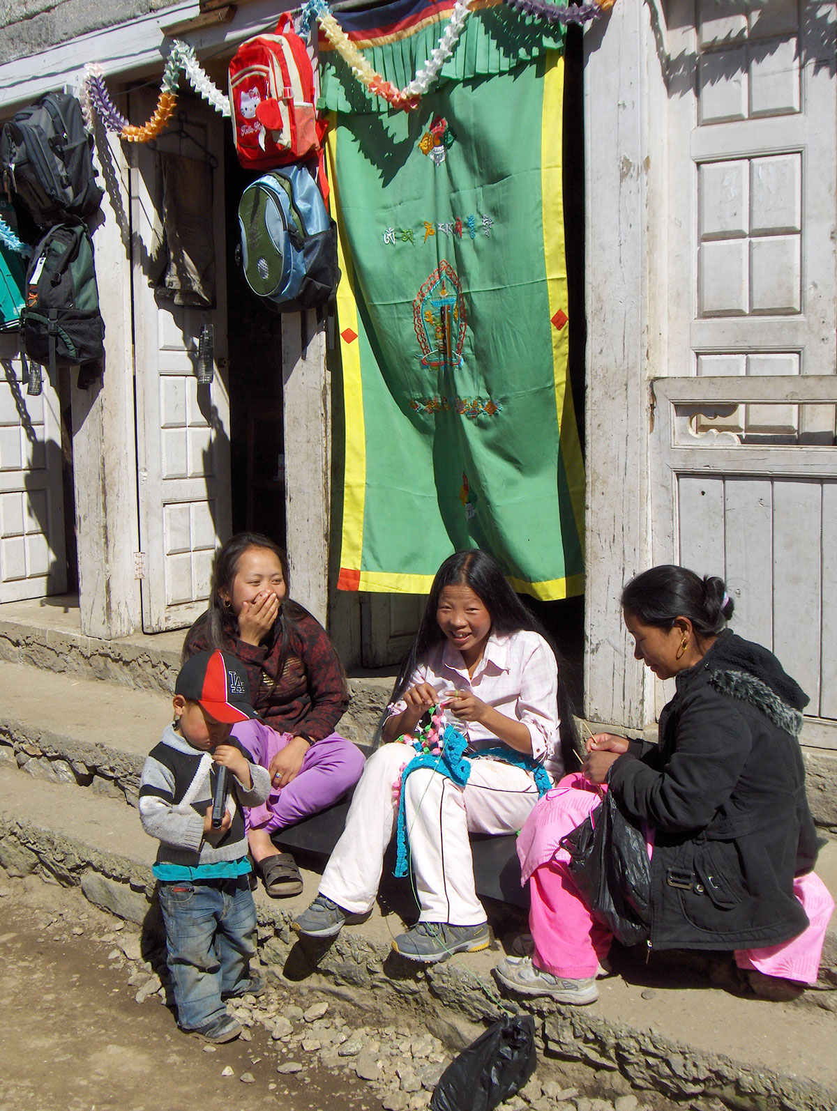
We departed Lukla at 09:00 AM, led by Sherpa Angelo Lakpa and Miloš Ivačković. Our path took us past a local hospital and two small hamlets. Outside the stone huts, small children were playing, and we handed out candies and chocolates. During a rest stop, we watched with amazement as one of our young Sherpa porters washed his hair in the ice-cold water of a mountain stream.

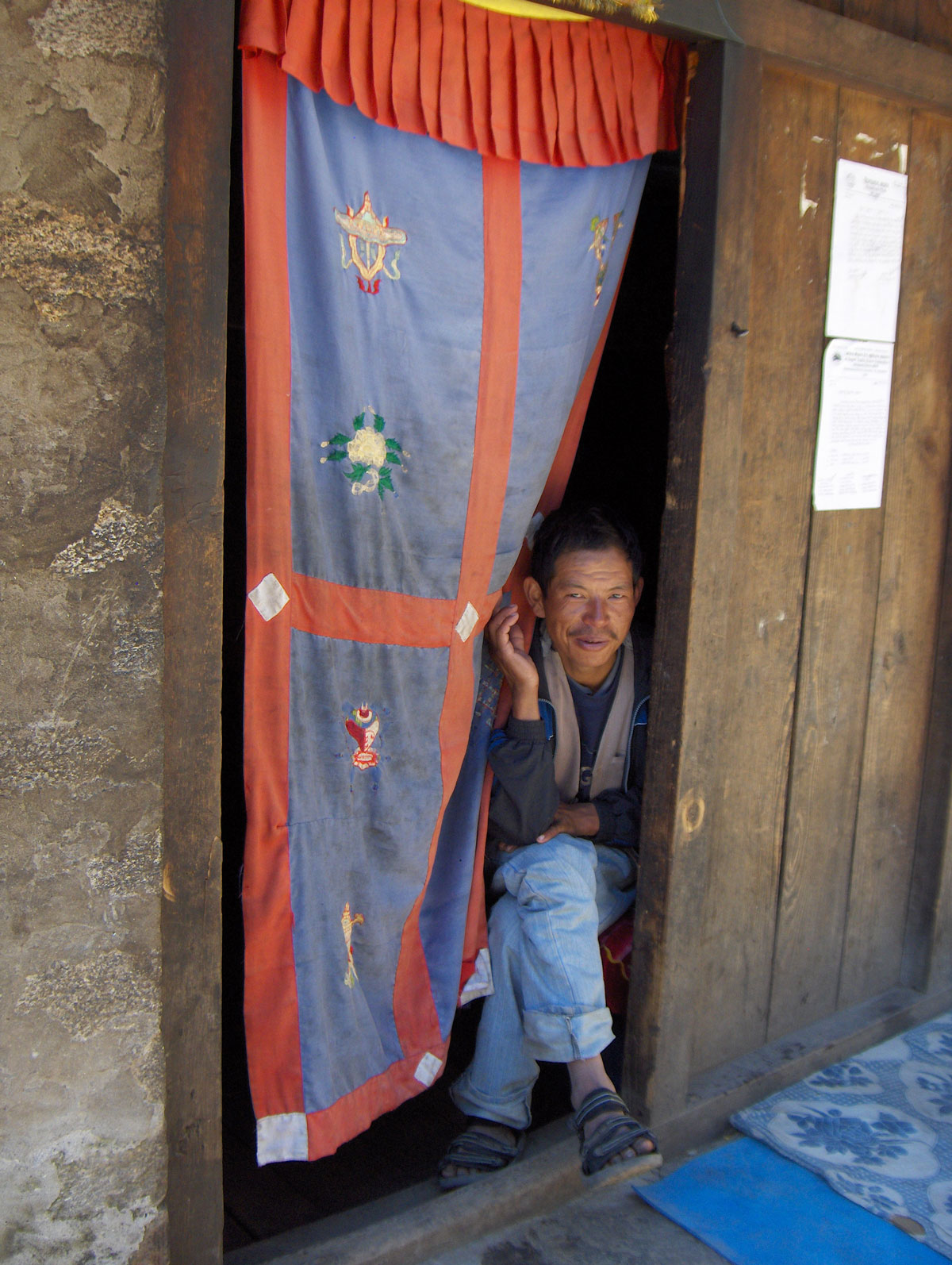
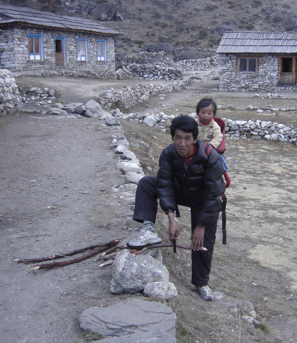
The local dwellings are built of stone with roofs made of stone slabs, bamboo leaves, or reeds. Small, terraced gardens yielded crops of cabbage, potatoes, carrots, turnips, and onions. When not tending to their gardens or livestock on nearby pastures, the villagers sell hot and cold drinks to passersby. Even here, globalization is visible through products like Coca-Cola, Heineken, Marlboro, and Johnnie Walker. As we climbed higher, nature became more bountiful, crossing swift streams and beautiful waterfalls. After nearly four hours of hiking, we reached Chutanga.

Arrival at Chutanga

Chutanga (3450 m a.s.l.) is situated beneath sharp, snow-white peaks that pierce the crystal-blue sky. Several lodges are arranged on terraces, one above the other. They are built of stone, and some even proudly bear the sign “HOTEL” on their facades.

Our porters arrived ahead of us, and soon the pleasant aroma of cooking drifted from our mobile kitchen. The meals were delicious, high in calories, and served in generous portions tailored to our needs. We spent the afternoon resting in our tents.

While for most of the team the Himalayan adventure truly began with the flight to Lukla, mine took a turn at a nearby stream. While washing my socks, I slipped and fell in. Luckily, only my right leg went in up to the knee. I reacted quickly, ran to my tent, and took my wet boot and trousers to a nearby hut, asking the hosts to dry them by their hearth. For the rest of the day, I had to wear one of Mića’s slippers. I must have looked quite strange to the locals and other hikers, as everyone smiled when I walked by—a first lesson for me to be much more careful in the future!

By evening, the wind swept the fog away, and the camp was bathed in soft moonlight. We went to bed early to be rested for the challenges of the next day.

October 17, 2009: Chutanga

In the morning, I visited the hut where I had left my trousers and boot to dry. The trousers were ready, but the boot was still damp. I decided to use a time-tested mountaineering trick: I pulled on double wool socks and wrapped them in plastic bags before sliding them into the boot. Suitably equipped, I joined the rest of the team, and at 10:00 AM, we set off on our first acclimatization climb.

We ascended a steep trail onto a ridge covered with sparse rhododendron forests and shrubs similar to our native mountain pine (klekovina). During the climb, Miloš gave us vital instructions: move slowly, breathe deeply, maintain the group's pace without unnecessary stops, and stay hydrated during rest breaks. As a highly experienced guide—with summits including Mount Everest, Kabru IV, Island Peak, Aconcagua, and Elbrus—we listened to his every word with great care.

Upon clearing the forest, we reached a viewpoint where my altimeter showed we had reached 3850 m a.s.l. From this vantage point, Angelo pointed out the Zatrwa Og pass (4538 m a.s.l.), which we are scheduled to cross tomorrow on our way toward Mera Peak. We returned to camp in the afternoon after 4.5 hours of trekking.

The Expedition Team

Before lunch, our Head Sirdar (lead Sherpa), Nima, introduced the support crew that will be with us for the duration of the expedition: Assistant Guides: Angelo Lakpa, Ramis, and Temba; Kitchen Staff: Head cook Hasta Tamang and his five assistants (Rindži, Navan, Maranč, Purba, and Nima); Porters: 16 high-altitude porters. In total, 26 Sherpas are supporting our team of ten, ensuring every aspect of our survival and progress in the mountains is managed.

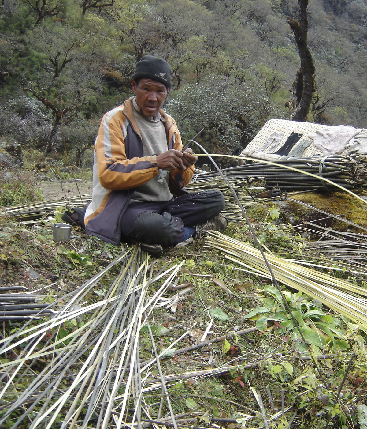
Later in the day, I walked down to the hut by the stream to photograph an elderly local man. He was skillfully slicing bamboo reeds into thin strips with a large knife, weaving them into the traditional baskets used by high-altitude porters. Following dinner, we headed to our tents as soon as darkness fell. Tomorrow promises to be a grueling day.

October 18, 2009: Chutanga – Kharka Teng – Zatrwa Og – Zatrwa La – Thuli Kharka

We rose with the first rays of the sun, feeling well-rested after nearly 12 hours in our tents. Despite it being Sunday, the camp was buzzing with energy as we prepared for today's ascent. At 08:00 AM, we left Chutanga, crossing the shaky little bridge over the stream where I had slipped two days ago—this time with much more caution.

After 2.5 hours of trekking, we reached the huts at Kharka Teng (4020 m a.s.l.). From here, a wide panorama opens up over the valley where Lukla lies. This vantage point also gave us our first clear look at the pass we had to conquer. After a short rest, we continued the climb. The trail reminded us of the Strmenica path on Čvrsnica back home, though this one was significantly longer and steeper.

As we climbed, we encountered porters and trekkers returning to Lukla. When passing them, we carefully stepped aside to give the porters the right of way; a single bump from their large baskets could easily send a climber tumbling down the steep slope.

Crossing the Twin Passes

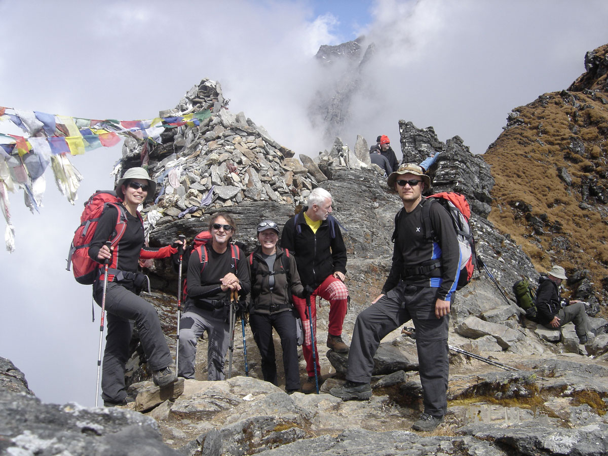
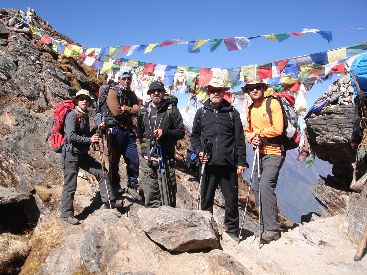
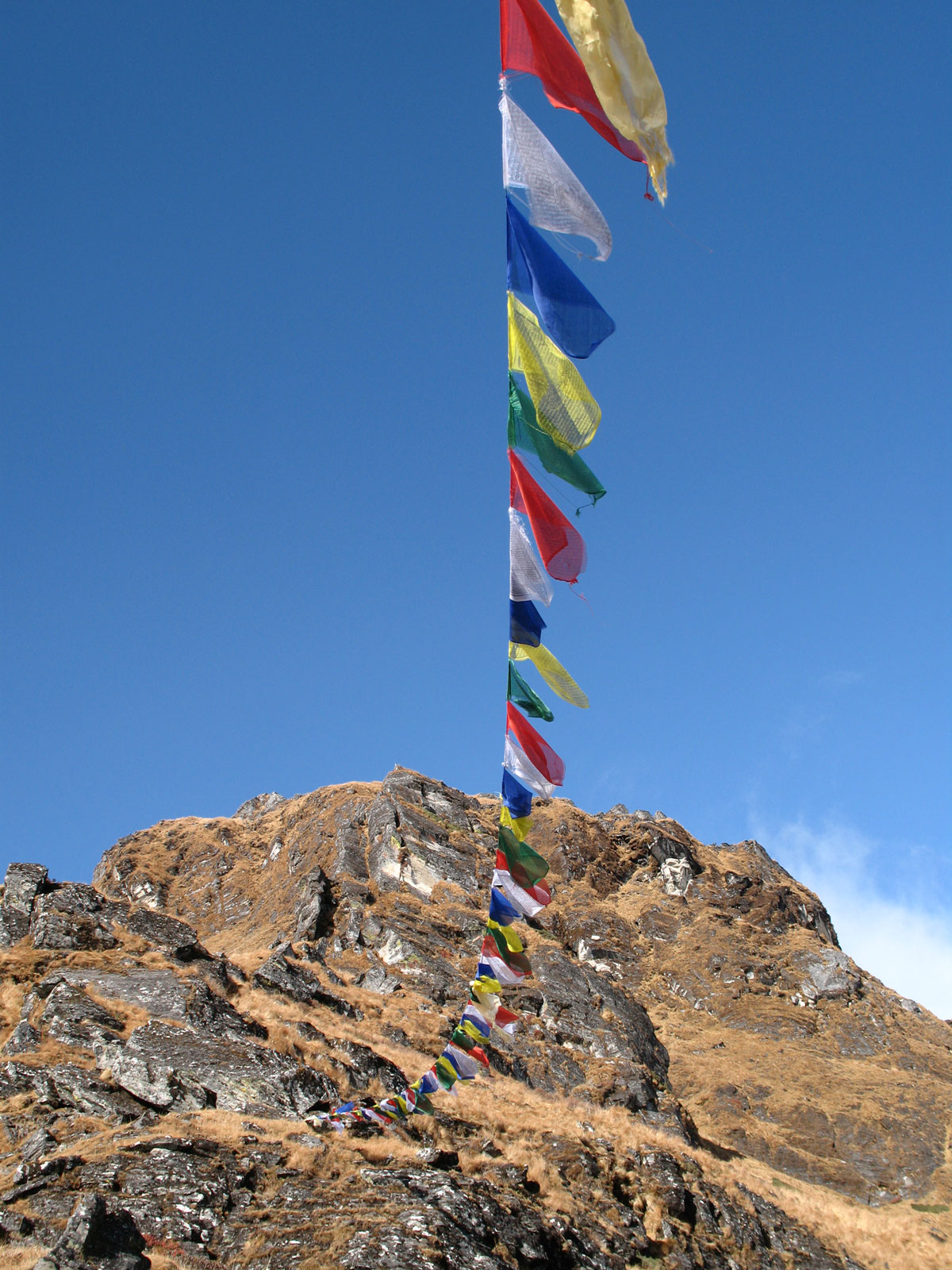
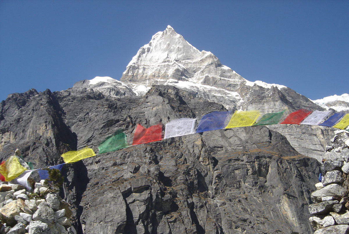
At 12:30 PM, we reached the first pass, Zatrwa Og (4538 m a.s.l.), which was adorned with colorful Buddhist prayer flags. After a long break, we traversed the ridge along the mountainside toward the next pass, Zatrwa La (4613 m a.s.l.). This second pass was also draped in prayer flags fluttering in the wind, making it a perfect subject for our cameras.

The traverse between the two passes took nearly an hour. This divide marks the border between two great valleys: Solo Khumbu and the Hinkhu Valley. Just below the pass sits a small hut with a sign pompously labeled “TEA SHOP.” We stopped in and were welcomed by a bright, smiling young woman. Inside the smoke-filled room, we rested and warmed ourselves with hot tea. We also took a moment to congratulate Saša and Sandra, as this was the highest elevation they had ever reached.

Descent to Thuli Kharka

From the pass, we began our descent toward Thuli Kharka (4233 m a.s.l.), a small village nestled on a terraced plateau beneath a giant boulder. At the top of this massive rock is a large hollow filled with water, looking much like a tiny lake. We reached the village in just one hour from the pass.

By early evening, the wind died down, and a thick fog rolled in. Our tents were already pitched on two terraces near a newly built large lodge in the center of the village. Dinner followed shortly, and then we retired to our tents for much-needed sleep.               

October 19, 2009: Thuli Kharka – Taktor – Tashing Dingma – Tashing Ongma – Mosom Kharka

Upon waking, we were pleased to find that no one was complaining of headaches. Last night, as a preventative measure for the increasing altitude, we each took an Aspirin (100 mg) before bed. This is a practice we intend to continue until our final summit push.

After breakfast, feeling rested and in high spirits, we began our fourth day of trekking. From Thuli Kharka, we traversed a steep slope to reach a pass marked by a stone cairn (pyramid) adorned with prayer flags. We rested there alongside numerous porters who appeared exhausted by their heavy loads. Despite the physical toll, the smiles never left their faces. Most were sparsely dressed, wearing torn sneakers or plastic sandals; some were even barefoot.

Our guides explained the harsh reality of their lives. Trained from childhood to carry loads at high altitudes, many porters turn to energy supplements as their strength wanes with age. The gold-yellow wrappers of these “energizers” are scattered along the trail. The guides warn us that while these offer a temporary boost, they are highly addictive and cause long-term damage to the body. Consequently, most porters are forced to retire by the age of fifty.

The “EKG” Trail

From the pass, we descended a steep path through dense rhododendron forests to the Taktor lodge (3809 m a.s.l.), situated on a terrace near a stream with beautiful waterfalls. This leg took 2.5 hours. After lunch by the water, we continued our descent into a forest of Himalayan pine. In some areas, the forest was so lush it resembled a jungle.

We passed the Tashing Dingma and Tashing Ongma lodges, and after two hours, we reached the high banks of the Inghu Khola river (3442 m a.s.l.). We watched the churning, frothing water as we moved along the right bank. The trail here constantly gains and loses 100–200 meters of elevation—moving “up and down” so frequently that we nicknamed it the “EKG” trail, due to its resemblance to an electrocardiogram readout. We reached our destination, Mosom Kharka, in another hour.

Mosom Kharka and Political Reality

Mosom Kharka (3575 m a.s.l.) serves as the entrance to the Makalu-Barun National Park. Our guides informed us that this small village has become a Maoist stronghold used to monitor the valley's routes. Despite our official government permits, agencies are often forced to pay an additional “tax” to the Maoists for passage. Posters featuring the five-pointed star, the sickle and hammer, and the face of Mao Zedong on lodge facades made their presence very clear.

Before dinner, we explored the village, which consists of several lodges and shops. In one shop, you can buy yak meat. Because of the constant cold and lack of insects, the meat can stay “fresh” for weeks without spoiling. Just like in Lukla, gambling is popular here; porters passionately wager their hard-earned money at outdoor tables, though they rarely win. One shop even offered a satellite phone, with the owner determining the price per minute based on his “estimation” of the customer's ability to pay.

As darkness fell, the temperature dropped significantly. We had dinner inside a lodge where we were charged for heating before the stove was even lit. Wood is a scarce and expensive commodity at this altitude, so dried yak dung is often added to the fire to make the logs last longer. After dinner, one of our Sherpas sang while playing the madal—a traditional Nepalese drum similar to a tarabuka. Though the music was beautiful, exhaustion won, and we soon retreated to our tents and warm sleeping bags. 

October 20, 2009: Mosom Kharka – Taure – Tangnag

Today we set off at 09:30 AM, slightly later than usual. Our destination is the village of Tangnag, a five-hour trek from Mosom Kharka. The first leg of the journey follows the valley of the Inghu Khola (also known as the Hinku Khola) river. The riverbed is incredibly wide—larger than the river itself. To our left, we are flanked by pine forests, while to our right, the vertical rock walls of Mera Peak tower over us.

We moved along the edge of the riverbed, navigating around massive boulders that had tumbled down from the eroding banks. Every now and then, we looked up with a bit of anxiety at the rocks hanging precariously above our heads, seemingly ready to fall at any moment.

After two hours of hiking, we left the riverbed and ascended onto a plateau of high pastures. Within half an hour, we reached Taure (3990 m a.s.l.). On a dirt terrace in front of one of the three huts that make up this tiny settlement, the Sherpas served us lunch. A cold, biting wind forced us to eat quickly, pack up, and keep moving.

Into the Himalayan Heart

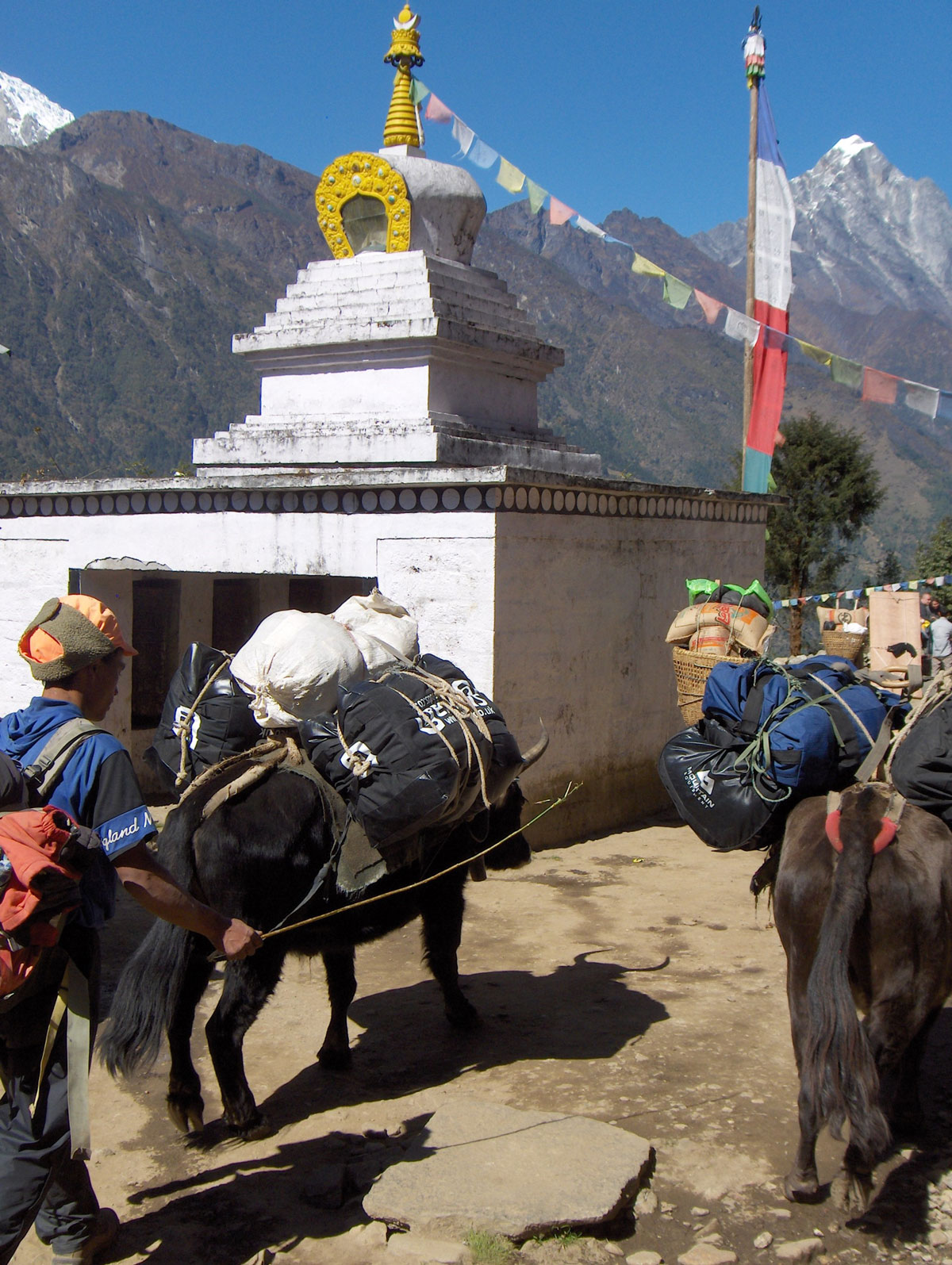
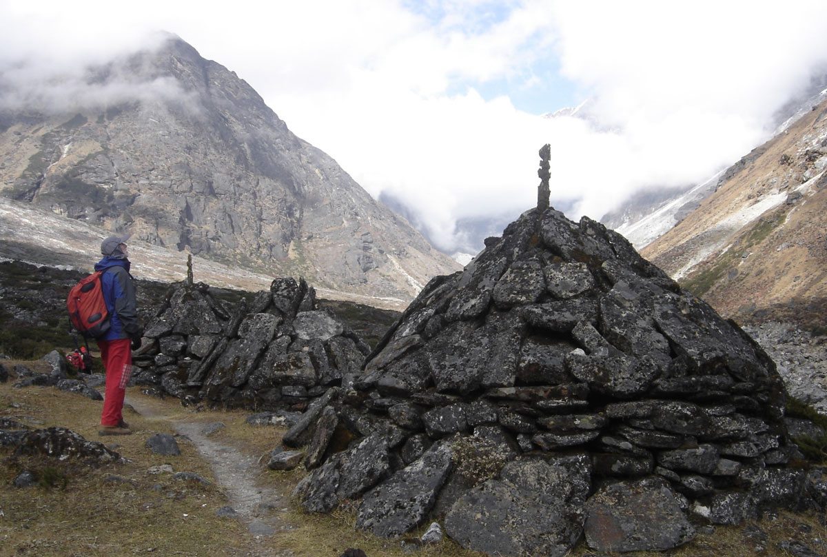
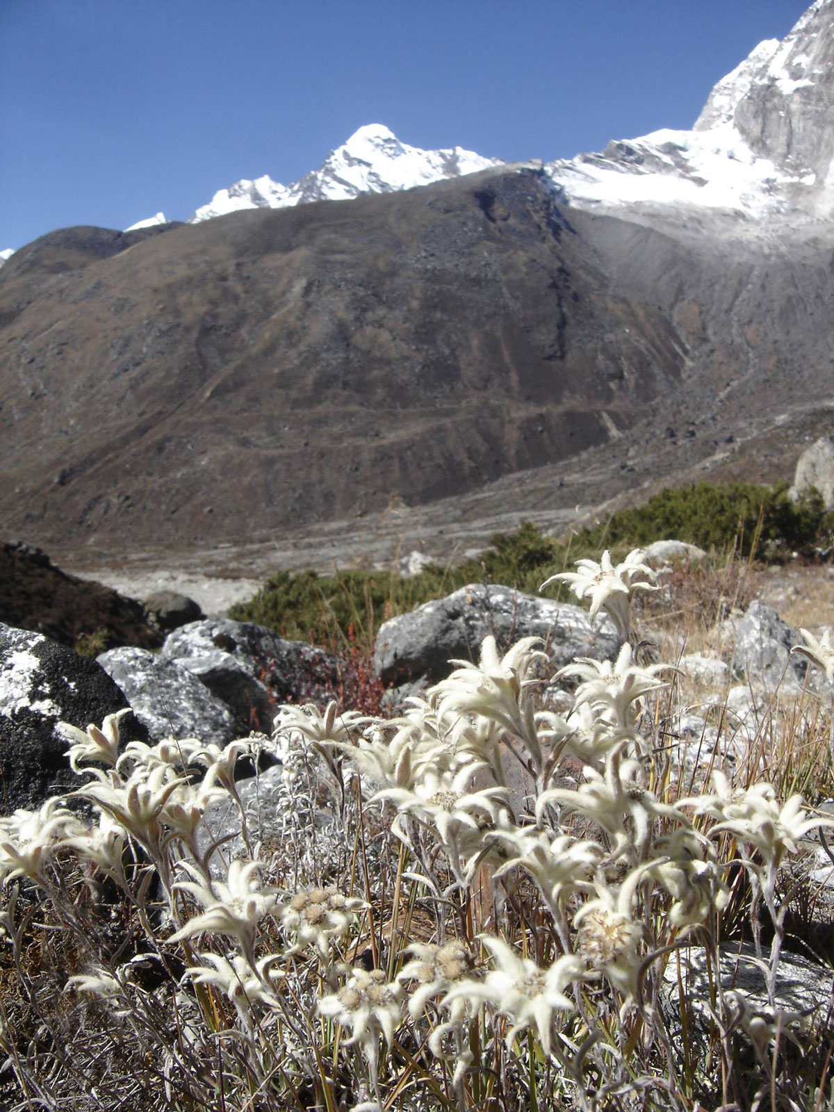
As we continued, we passed three massive trail markers (cairns) made of stacked stones. For the first time on this trek, we encountered a herd of yaks grazing peacefully. This was exactly the experience we had hoped for: fascinating peaks surrounding the valley, streams and waterfalls crashing into the frothing river, and yaks on the pastures. When we suddenly stumbled upon patches of Edelweiss (runolist), we were overjoyed. We were finally in the heart of the true Himalayan wilderness—the very reason we came here.

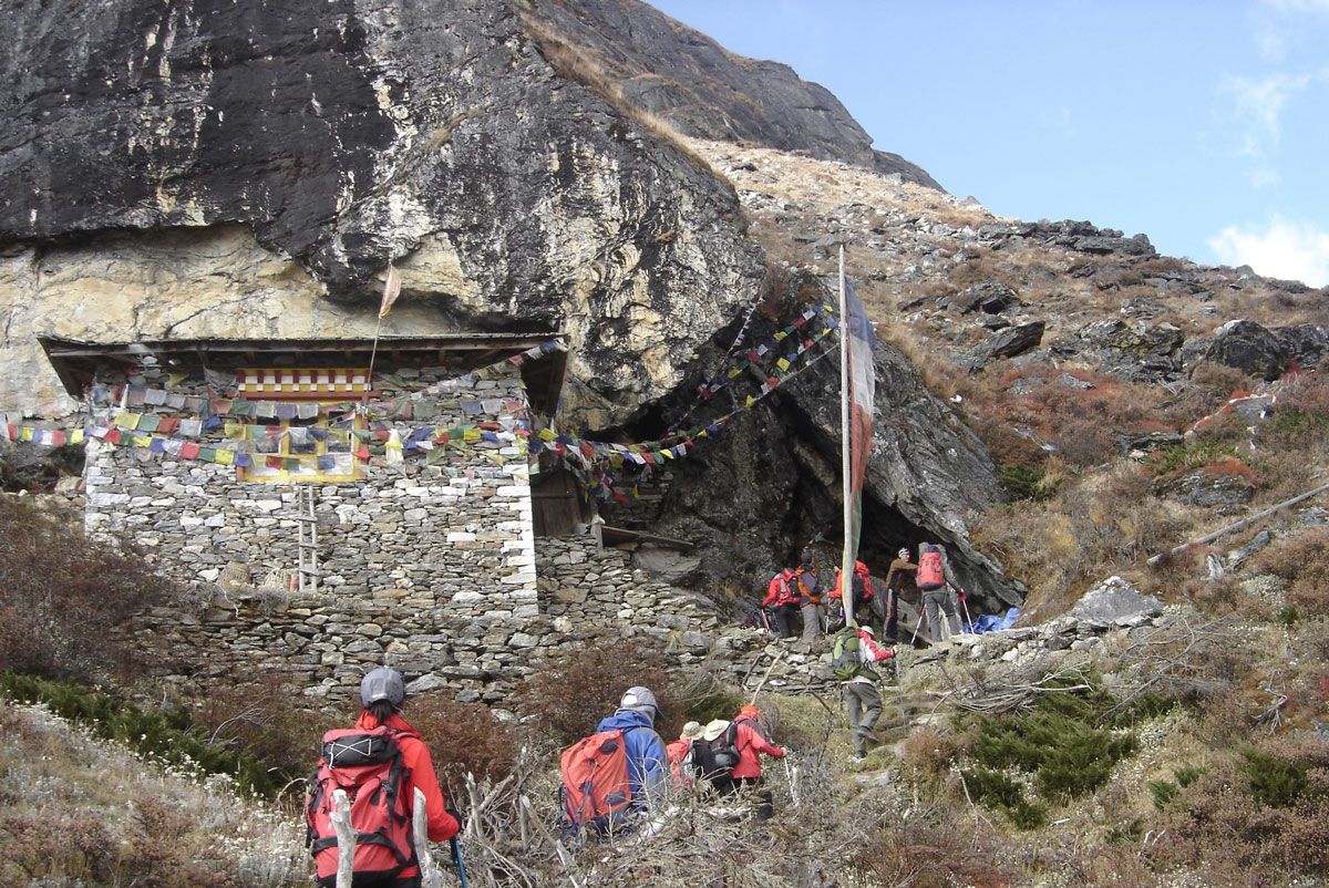
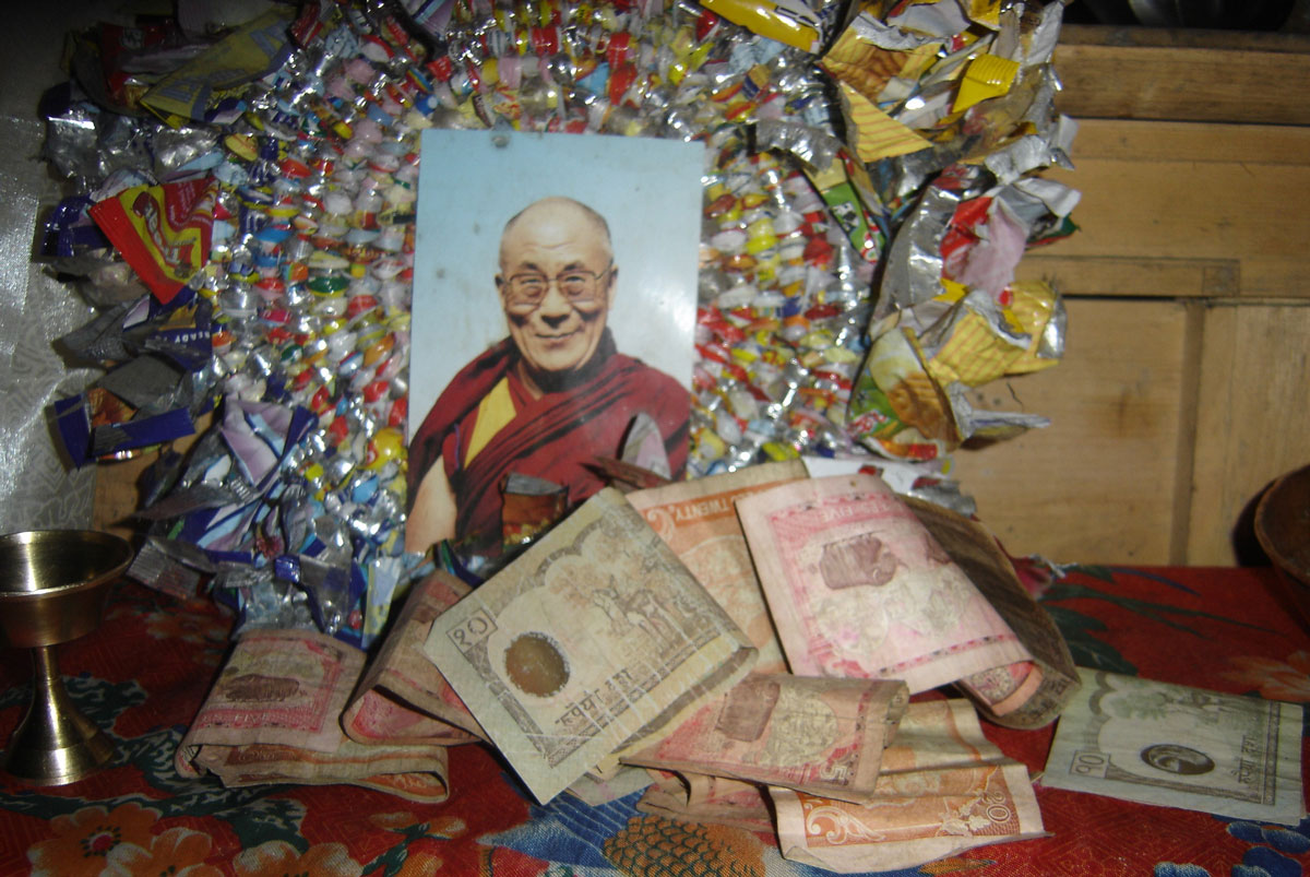
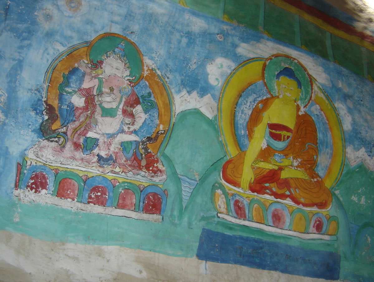
An hour and a half from Taure, we reached a Gompa (a small Buddhist temple) at 4100 m a.s.l. The temple is built directly under a massive overhanging rock, enclosed by wooden boards and stone walls. The rock face inside is painted with motifs from the lives of Buddha and Rinpoche, with a small altar holding a photograph of the Dalai Lama deep within. The ceiling is draped in prayer flags, and a taxidermied eagle hangs from one of the walls.

The resident monk was away due to illness, so our Sirdar, Nima, performed the traditional ceremony. He lit an oil lamp for each of us on the altar to wish us a successful summit. We placed some money into a locked metal box to help maintain this wondrous “temple at the end of the world.”

Arrival at Tangnag

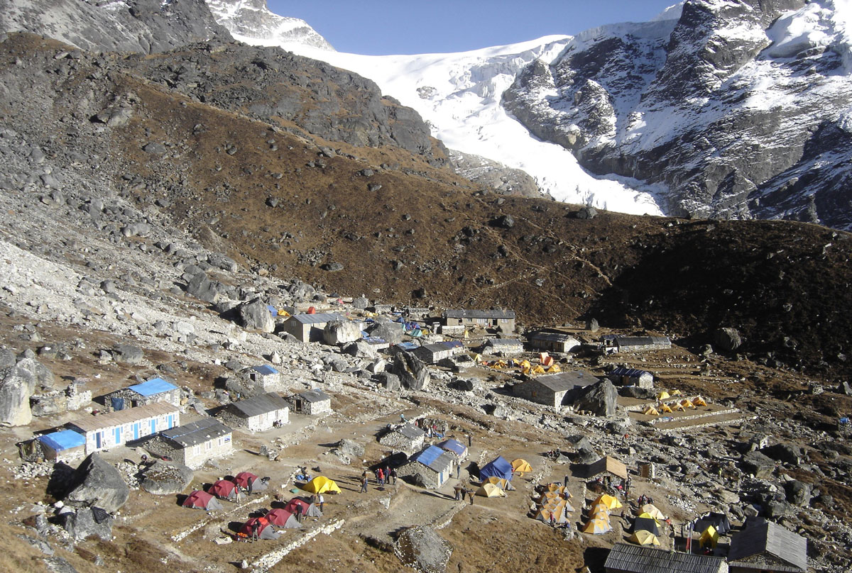
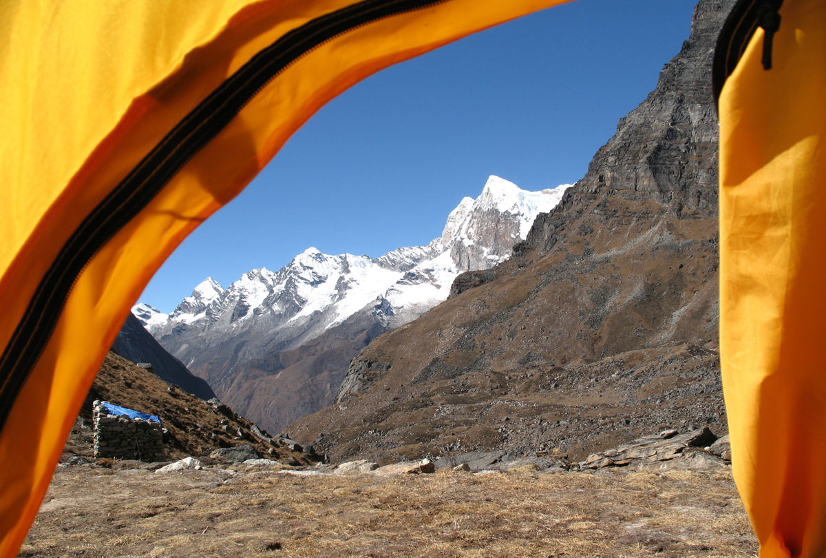
On the final stretch to Tangnag, our eyes were fixed on the stunning peaks of the Kyashar Himal massif—sharp, daring pyramids that looked more challenging and beautiful than the last. We reached Tangnag one hour after leaving the Gompa. We will stay here for the next three days to acclimatize properly and gather strength for the final push.

After dinner, we gathered in the lodge with a group of Italians who were heading to Khare the next day. Unlike the quiet of previous nights, tonight was filled with music. We sang songs from Italy and the former Yugoslavia (from Triglav to Ohrid), including several Bosnian Sevdalinkas. The highlight of the evening was Malina (Dragan), who earned a massive round of applause for his solo performance of the Macedonian classic, “Zajdi, zajdi.” We finally retreated to our tents late in the evening.

October 21, 2009: Tangnag

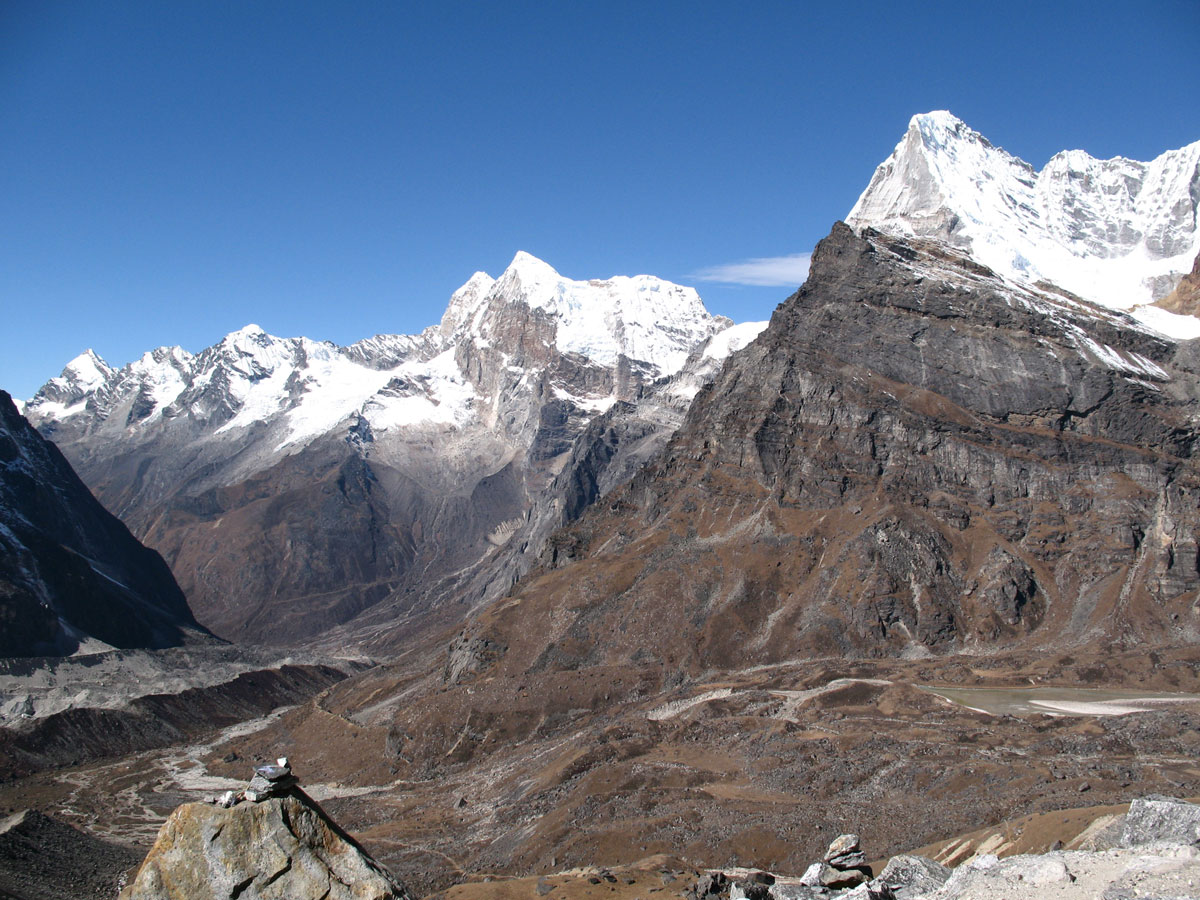
Today was dedicated entirely to acclimatization. We set out from Tangnag (4263 m a.s.l.) under a beautiful, clear sun. As we slowly ascended the steep slopes, our eyes were magnetically drawn to the neighboring peaks of the Kyashar Himal massif: Tangtse (6770 m a.s.l.), East Summit (6373 m a.s.l.), and Cairn (5271 m a.s.l.).

Behind us, on the opposite side of the Hinkhu Valley, the western face of Mera Peak towered into the sky. Every so often, the heavy thunder of avalanches crashing into the valley below echoed through the air. After 3.5 hours of steady hiking, we reached an unnamed ridge point at an elevation of 5067 m a.s.l. We took a brief 30-minute rest at the top before descending back to Tangnag.

By the time we reached camp, we were starving. Miloš told us that a strong appetite is actually one of the primary signs of successful acclimatization. According to him, the most reliable indicators that your body is adapting—besides a good appetite—are sleeping without a headache and maintaining regular digestion.

Songs of the Himalayas

In the evening, we gathered in the lodge with our Sherpas. Accompanied by the rhythmic beat of the madal, they sang traditional Nepalese songs for us. Sherpa Angelo Lakpa translated the lyrics, and we were surprised to find how similar they are to our Bosnian Sevdalinkas—they tell stories of love, unrequited longing, yearning, and solitude. Later, the lodge owner put on some more upbeat music on the cassette player, and the night ended with everyone dancing.

October 22, 2009: Tangnag

The morning began with the rhythmic thumping of helicopter blades. During the day, it intervened twice to rescue climbers whose lives were in danger. Someone needed emergency help in Khare, and later, a helicopter arrived in Tangnag to evacuate a member of the Italian expedition. It was a sobering reminder of how quickly things can change—she had been singing and dancing with us in the lodge just last night but was now showing severe signs of altitude sickness.

We used this day for rest, personal hygiene, and laundry. The lodges here offer stone-walled shower cabins, but they are unheated. I gritted my teeth and stepped into one, but after five minutes of showering, I bolted back to my tent. It was hauntingly cold, and it took me a long time to warm up again. After that “experiment,” I swore off bathing until our return to Kathmandu.

The Ghost of Saba Tsho

In the afternoon, we went for a walk to explore the surroundings. Tangnag consists of a large number of newly built lodges. Only a few years ago, the settlement was hit by a catastrophe: a massive avalanche plunged into the nearby Saba Tsho lake (4463 m a.s.l.) to the north. The impact created a wall of water so powerful that it breached the moraine wall holding back the lake. The resulting flood completely wiped out the village. Fortunately, there were no casualties, as the disaster occurred outside the climbing season.

We spent the rest of our time before lunch checking our technical climbing gear. By late afternoon, the quiet of the village vanished as a loud and bustling group of Iranians and French climbers arrived.

A Celebration in the Clouds

In the evening, our head cook surprised us with a cake, on which he had written “Mera Peak 2009” in whipped cream. Miloš carefully cut the cake into 36 equal slices so that every member of the expedition—participants and Sherpas alike—could enjoy a sweet treat.

October 23, 2009: Tangnag – Khare

We departed Tangnag around 09:00 AM for Khare, a leg that requires us to gain about 600 meters in elevation. The route continues through the Hinkhu Valley. Once again, we were delighted to see clusters of Edelweiss (runolist) growing along the trail, this time accompanied by a beautiful light-blue flower resembling Koch's Gentian. After leaving the riverbed and crossing the high pastures, we faced a steep and strenuous climb to Khare, arriving after 3.5 hours of trekking.

Khare (4890 m a.s.l.) is a proper small settlement, featuring several large lodges and tiny 2×2 meter shops. It is the largest settlement we have visited so far and, in my opinion, the most beautiful due to its location. From the wide, long terraces where about twenty lodges are situated, one can enjoy a magnificent view of the Hinkhu Valley and its surrounding peaks. It is from here that we caught our first glimpse of two of the three highest summits of the massif: Mera Peak Central (6476 m a.s.l.) and Mera Peak North (6347 m a.s.l.).

Pushing Higher

After lunch and a bit of rest, Redžep, Sanja, and I set out for an afternoon acclimatization climb on a nearby ridge, reaching an elevation of 5170 m a.s.l. From this vantage point, we had an extraordinary view of the Mera La pass, which serves as the gateway to the highest peaks of the massif.

Upon returning to Khare, we found the Iranians and French teams busy pitching their tents. At dinner, we sat with a group of climbers from England and Singapore. They were understandably dejected; they were heading home without reaching the summit. They had attempted the climb twice, but fierce winds had blocked their path both times.

October 24, 2009: Khare

We spent the morning on the ridge above the settlement performing final technical checks on our climbing gear. This involved practicing descents on fixed ropes to ensure everyone was comfortable with the equipment. After lunch and some rest, we began the meticulous process of packing our rucksacks for the coming days.

In the afternoon, Sherpa Ramis, one of our guides, arrived with good news: the team had successfully transported and pitched the tents at High Camp. Everything is now in place for our final summit push on Mera Peak. We spent the evening in the lodge sharing stories with Russian and Czech climbers who, like us, are moving up to High Camp tomorrow.

Before retreating to our tents, we stood for a moment staring at the sky, which was thick with a blanket of stars. We couldn't help but wonder what the weather would hold for us. Sleep was hard to find; the air was thick with anticipation. Tomorrow, the final ascent to the summit of Mera Peak Central begins—the very goal that brought us to Nepal and the Himalayas.

October 25, 2009: Khare – Mera La – High Camp

The tenth day of our journey dawned beautiful and sunny. At 09:00 AM, we departed for High Camp. The trail began with a steep climb over sharp, rocky terrain leading to a small hollow with a solitary hut. Just like at the Zatrwa La pass, we were greeted by a cheerful, smiling young woman. I am not sure if a higher tea shop exists in the world, but at 5045 m a.s.l., this is certainly the highest place I have ever sat down for tea.

After a short rest, we continued over the rocks and soon reached the glacier at 5100 m a.s.l. We donned our crampons and ascended the frozen slope. The terrain eventually leveled out into a vast, wide plateau with a well-trodden path. Sherpa Angelo Lakpa and Miloš warned us to stay strictly on the trail due to the hidden crevasses scattered across the surrounding ice.

The Gateway to the Summit

We reached the Mera La pass (5450 m a.s.l.) and took a break for lunch. From the pass looking south, we could clearly see High Camp (5750 m a.s.l.), our target for the day. To the right stood the three snowy pyramids of the Mera Peak massif: Mera South (6064 m a.s.l.), Mera Central (6476 m a.s.l.), and Mera North (6347 m a.s.l.). Slightly below the pass to the east lies Base Camp (5350 m a.s.l.), which serves as the approach for both Mera Peak and the neighboring Baruntse (7129 m a.s.l.).

At this point, Dragan Malinović made the difficult decision to return to Khare. He explained that he was feeling unwell. It was surely a hard moment for him, but his decision was deeply honest—both to himself and the team.

Settling into High Camp

From the pass, we continued the ascent toward a massive rock formation resembling a sea cliff. Our tents were pitched on a narrow ledge in the lee of this rock. We arrived at High Camp after a total of 8 hours of trekking, including four major breaks, having gained 840 meters in elevation today.

As darkness fell, a cold wind began to howl. Before the weather forced us into our tents, Miloš gave us the final instructions: wake-up call at 02:00 AM, followed by the rope-team assignments for the summit push. During the night, our Sherpas brought hot tea and soup to our tents twice. We had very little appetite at this altitude, so the fluids were exactly what we needed.

October 26, 2009: High Camp – Mera Peak Summit – High Camp – Khare

We woke up at 02:00 AM. It was incredibly cold inside the tent, and a freezing wind was howling outside. The hardest part of the morning was forcing ourselves out of the warmth of our sleeping bags. In the cramped space of the tent, Redžep and I struggled to pull on our protective layers, climbing harnesses, and boots with crampons. Our rucksacks were packed with only the essentials: spare gloves, a hat, a thermos of tea, raisins, chocolate, and biscuits.

Outside, we formed two rope teams.

  • Team 1: Sherpa Angelo Lakpa, Miloš Ivačković, Aleksandar Spasić, Jovo Elčić, and Bobana Petrović.
  • Team 2: Sherpa Nima, Redžep Grabus, Sanja Mitrović, and myself.

Before departing, we joined hands in a circle, wishing each other a safe ascent. Milan Kurilić and Sandra Božić decided to stay behind due to health issues; though we were saddened they couldn't join the final push, we deeply respected their decision—life always comes first.

The Ascent into the Light

We set off at exactly 03:00 AM, our headlamps cutting through the darkness to illuminate the trail. We climbed in silence, each of us lost in thought, focusing on the rhythm of our breathing, the beat of our hearts, and constantly moving our fingers and toes to ward off frostbite.

I found myself thinking about the boots I was wearing—they were lent to me by Kenan Muftić, a legendary Bosnian mountaineer. These boots carry their own history, having reached the summits of Ama Dablam, Aconcagua, Mount Everest, and Mount McKinley. They have brought luck and success to everyone who wore them, and I trusted they would do the same for me.

After two hours, the wind died down significantly. We were overjoyed; if the weather held, the summit was “ours.” At dawn, a crimson glow bathed the Himalayan giants—a sight of such profound beauty that it will remain etched in my memory forever. Due to the thin air, our breaks became more frequent. Eventually, we reached a vast plateau where our goal finally came into view. Sherpa Nima told us it was only one hour to the top.

The Summit of Mera Peak Central (6476 m a.s.l.)

At the base of the final pyramid, we met the first rope team already on their way down. We congratulated them warmly. The final summit pyramid of Mera Peak Central is about 50–60 meters high with a slope of 60–70°. We climbed from a wide crevasse using a fixed rope.

At the top, Sherpa Angelo Lakpa greeted us with a smile. After six hours of climbing, we unfurled the flag of Bosnia and Herzegovina, which fluttered for the first time on the summit of Mera Peak. The wind had stopped completely, and it warmed up enough for us to spend nearly thirty minutes taking in the view.

From the highest point, we gazed upon five of the world’s fourteen “eight-thousanders”:

  • Mount Everest (8848 m a.s.l.)
  • Kangchenjunga (8586 m a.s.l.)
  • Lhotse (8516 m a.s.l.)
  • Makalu (8485 m a.s.l.)
  • Cho Oyu (8201 m a.s.l.)

We could also clearly see Gyaching Kang, Pumo Ri, Ama Dablam, Baruntse, and Chamlang. We had suspected that travel agencies might be exaggerating when they praised the view from Mera Peak, but they were right. It is an experience that must be lived to be understood.

The Long Way Down

We descended carefully, knowing that most accidents happen on the return when fatigue sets in and concentration slips. We reached High Camp with Angelo, Nima, and Miloš, where our thoughtful Sherpas greeted us with hot tea.

We finally arrived back in Khare at 17:00 PM, exhausted after 14 hours on the move. That evening, the lodge was alive with celebration as we toasted our success alongside climbers from Russia, France, the Czech Republic, Belgium, and Iran.   

October 27, 2009: Khare – Tangnag – Taure – Mosom Kharka

The weather continues to be on our side—every day has been bright and sunny. Today, however, we faced a grueling, long-distance trek back to Mosom Kharka. The pace was significantly faster now that we were descending.

Along the way, we crossed paths with a group of cheerful Scots heading toward Mera Peak. They were eager for details about the ascent and mentioned they were attempting the summit independently, without the assistance of Sherpas. We wished them the best of luck and continued our journey down the Hinkhu Valley. After seven hours of navigating rocky terrain and trekking through the wide riverbed, we finally reached Mosom Kharka.

October 28, 2009: Mosom Kharka – Tashing Ongma – Tashing Dingma – Taktor – Thuli Kharka

From Mosom Kharka, we continued our trek toward Thuli Kharka. We began along the edge of the riverbed before hitting the “EKG” trail—which we remembered vividly from our way up—pushing “up and down” until we reached Tashing Ongma. From there, the trail led uphill through the lush, jungle-like forest to Tashing Dingma. We stopped there for lunch and a well-deserved rest, knowing a constant, taxing ascent still lay ahead of us.

We finally reached Thuli Kharka after 8 hours on the trail, including our lunch break and several shorter rests. We spent the evening in a nearby lodge, enjoying the company of the Iranian climbing team.

October 29, 2009: Thuli Kharka – Zatrwa La – Zatrwa Og – Lukla

Today is the “big push”—we have to cross two high passes and descend all the way back to Lukla. We set out from Thuli Kharka alongside numerous trekkers and expedition members who had also been on Mera Peak. We’ve come to know many of them over the past few days; we stop for photos, exchange emails, and swap phone numbers. Some express a genuine interest in visiting our mountains back home. While I deeply respect the world’s great ranges for their staggering, raw beauty and the challenge of their high peaks, I still believe our mountains are unique—crafted to a human scale, meant for true enjoyment.

For the second time in just ten days, we crossed the Zatrwa La (4613 m a.s.l.) and Zatrwa Og (4538 m a.s.l.) passes. As soon as we cleared the last one, a sense of relief washed over the group; from here on, it’s all downhill to Lukla.

Familiar Faces in Chutanga

By late afternoon, we reached Chutanga. Nothing much had changed during our absence. The elderly man was still there by the stream, skillfully slicing bamboo into strips for porter baskets. The children were playing just as they were on our first day, and the adults were busy with their “hospitality,” offering drinks to passing foreigners. We took a long break for lunch on the dirt terrace above the lodges.

As we continued toward Lukla, we collected small stones of interesting shapes—simple keepsakes to remember our time in the world’s greatest mountain range. We finally reached Lukla after 9 hours of hiking, including our rests and lunch.

A Promise Kept

After resting and having dinner at the “Paradise Lodge,” we kept the promise we made at the start of the journey. We ordered a round of “Everest” beers and toasted our successful ascent of Mera Peak.

October 30, 2009: Lukla

In the morning, following breakfast, we pooled our money to prepare tips for our hardworking porters. In the lodge garden, our Sirdar, Nima, distributed the funds to each porter as they signed the list. It was a moving scene; these men, with their weathered faces, could not hide their emotions and thanked us from the heart for our modest gift. Over the last 14 days, they gave their absolute all to ensure our heavy gear arrived at each camp on time. We are fully aware that without the help of Nima’s team, this journey would have been far more difficult. Meeting and spending time with these wonderful people—who live so simply and find joy in the small things we often overlook in our world—will remain a lasting and cherished memory. Before parting, we took a final group photograph, now standing together as old acquaintances and friends.

Souvenirs and “Chhang”

We spent the afternoon shopping for souvenirs and handicrafts unique to the Solo Khumbu region. After dinner at the lodge, we sat with Nima, Angelo, and the rest of the Sherpa crew, drinking chhang—a traditional local beer. In appearance and texture, it’s similar to boza, but with a notable difference: it definitely has an alcoholic kick. They warn us that if you overdo it, it can take two or three days to fully sober up from its effects!

October 31, 2009: Lukla – Kathmandu

We spent nearly half the day (07:30 AM – 12:30 PM) in the terminal building of the “Tenzing-Hillary” Airport in Lukla, waiting for our flight back to Kathmandu. It was clear there were issues—whether technical or due to the fog, we never found out—but we could see the flight crew was in a massive hurry. While standing on the tarmac next to the plane, they were loudly and hungrily slurping soup delivered to them from the terminal. We were hurried onto the plane and took off immediately. This time, the flight attendant didn't even have a moment to hand out earplugs or candy.

Through the small cabin windows, we took one last look at the Himalayan peaks. Who knows if we will ever return here? But one thing is certain: the Himalayas opened their doors wide and took us into their embrace. Whether we close those doors permanently behind us is entirely up to us.

Back to Civilization

After a smooth 45-minute flight, we landed in Kathmandu. Returning to Hotel Vajra, we immediately surrendered ourselves to the simple luxuries of civilization: a long bath, a shave, a haircut, a massive lunch, and finally—sleeping in a real, honest-to-goodness bed. It’s funny how civilization works; just as we had begun to forget its comforts, it crawled back under our skin in a single afternoon.

November 1, 2009: Kathmandu

We began our morning with a bit of exploration in Thamel, the historic heart of Kathmandu. Since we set out early, the streets were blissfully quiet, free from the usual chaotic crowds. Shopkeepers were just starting to roll up their shutters and open for the day.

Our first stops were the specialized mountaineering shops to browse the latest gear. Afterward, we spent the rest of the morning hunting for gifts and unique souvenirs to bring back home.


At noon, we headed to the eastern part of the city to visit the Pashupatinath Temple (often referred to as the Temple of the Dead). This is the largest Hindu temple in the world dedicated to the god Shiva, situated on the banks of the Bagmati River. The temple has been a UNESCO World Heritage site since 1979.

On the right bank of the river, directly in front of the temple, the cremation of the deceased takes place. Visitors who are not Hindu are permitted to observe this sacred funerary rite only from the left bank of the river. We were deeply shaken by the sight; for those of us coming from Europe, such an open and direct encounter with death is highly unusual and profound.

According to the latest census, Nepal has a population of 27 million. Of these, 80% are Hindu, 15% are Buddhist, and the remaining 5% consist of Muslim and Christian communities.


In the afternoon, we headed out to visit the Boudhanath Stupa (Buddhist Temple). This is the largest Buddhist temple in the world dedicated to Siddhartha Gautama, the founder of Buddhism. Located about 11 km from the city center, it is one of Nepal’s most popular tourist destinations and has been on the UNESCO World Heritage list since 1979.

The area around the temple was bustling with pilgrims and tourists. The surrounding square is lined with souvenir shops, art galleries, tea houses, and restaurants. In one of the galleries we visited, we watched young artists working with incredible patience and precision, creating wondrous paintings inspired by religious and mystical motifs from the life of Buddha. On these vibrantly colored paintings, some of the finer details are often meticulously crafted using liquid 24-karat gold.


At the end of the day, we visited Durbar Square, a place surrounded by spectacular architecture featuring vivid motifs from the turbulent past of Nepal and Kathmandu, all intricately carved in wood. This is the heart of the old city, as it was once the site of the royal palace. The area consists of several squares connected by a maze of streets and alleys.

The squares are swarmed by street vendors offering tourists everything from flower garlands to hallucinogenic opiates. Perhaps because of my long hair, street dealers approached me frequently, offering hashish and marijuana. Appearances can be deceiving, but it was difficult to convince the dealers otherwise—they kept walking behind me, persistently praising the quality of their “goods.”

November 2, 2009: Kathmandu

Early in the morning, Redžep, Sanja, and I set out to visit yet another famous sanctuary in Kathmandu. Despite it being Sunday, the streets are incredibly crowded; we soon learn that in Nepal, Saturday is the non-working day. Swayambhunath Temple, better known as the Monkey Temple, is a religious complex where monkeys live freely in one section. The temple is perched on a hill, offering a panoramic view of the entire Kathmandu Valley.

To reach the Buddha stupa at the top—where a Tibetan monastery, museum, and library are located—one must climb 365 steps. Even here, one is not safe from the persistence of street vendors. A saleswoman, whom we had casually asked about the price of a kukri knife and a small bell, chased us all the way up the stairs. Breathless and drenched in sweat, she offered us a 50% discount—just five minutes after she had refused to even hear of a lower price!

I was particularly amused by a bird seller with cages hanging from a long pole over his shoulder. He insisted I buy a bird; to get him to back off, I told him I couldn't take it on the plane. He quickly replied: “No problem, give it as a gift to one of the children here,” pointing to a group of smiling, curious boys who had surrounded us.

After touring the temple, we took a taxi back to the city. It is always best to negotiate the fare with taxi drivers beforehand, as they rarely use meters. A good rule of thumb: whatever price the driver offers, feel free to cut it in half—you'll find the driver will still be more than satisfied.

November 3, 2009: Kathmandu – Delhi

We used the morning for one last trip into the city to pick up the final gifts and souvenirs we had missed over the past two days. We decided to return to the hotel by rickshaw. The cost of transport is incredibly cheap; the driver was overjoyed when we paid him 300.00 NPR (roughly 3.00 EUR) for the ride. It’s nearly 3 km from Thamel to the hotel, and there were three of us squeezed into the rickshaw.

Around noon, Dragan Jaćimović and Nina Ađanin arrived at the hotel with their team, returning from a successful expedition to Island Peak (6189 m a.s.l.). Everyone was in high spirits—their climb had been a great success, with only one member unable to reach the summit due to health reasons. Over coffee, we shared stories and impressions from our respective climbs before saying our final goodbyes.

Farewell to the Kingdom

At the airport, we were met with the usual chaos of the terminal building: the repetitive process of weighing transport bags, checking in, security controls, and luggage searches. At 15:45 PM, our flight departed for Delhi.

We leave the Kingdom of Nepal deeply satisfied. In such a short time, we caught a glimpse of its rich cultural heritage, turbulent history, local customs, and religious rites—and, most importantly, the Himalayas, the very reason we embarked on this long journey. We return home spiritually enriched and strengthened, hoping that these experiences will serve us well in the life that lies ahead.

November 4, 2009: Delhi – London – Belgrade – Sarajevo

We slept through most of the long flight from Delhi to London. By exactly noon, we touched down at the Surčin Airport in Belgrade. Outside, the fields were covered in the first snowfall of the season. We soon learned that the airport had been completely closed to traffic only yesterday due to a severe snowstorm.

We finally arrived home in Sarajevo at 21:00 PM, after 24 days away.


Cover Photo: Himalayas, a break at Kharka Teng (4,020 m a.s.l.)


Nepal stays in your heart long after you descend. Have you ever visited the Himalayas, or is a trek to Kathmandu on your bucket list? Share your favorite mountain memory or ask a question in the comments below.

Mountain Lakes of Bosnia and Herzegovina

Welcome to my mountain world. For over half a century, I have walked the ridges and canyons of the Dinaric Alps, documenting the ‘Mountain Eyes'—the fragile glacial lakes that represent the soul of Bosnia and Herzegovina. This article is the result of fifty years of professional guiding and research. It is more than just a list. It is my personal record of a vanishing wilderness.

I invite you to study these waters, respect their history, and understand the threats they face. The mountains are not in a hurry, and I hope you will take your time to read their story.

Author of text and photography: Braco Babić

🗺️ Coverage: Over 40 lakes across Zelengora, Treskavica, Prenj, and more.

⚠️ Safety: Critical warnings for hikers on Mt. Treskavica.

🧬 Endemics: Where to find the prehistoric Alpine Triton.

🏔️ The Highest Point: A guide to Crvenak Lake (1970 m a.s.l.).


Jump to a Mountain Range: Zelengora | Čvrsnica | Prenj | Šator Mountain | Crvanj | Lebršnik | Treskavica | Bjelašnica | Raduša | Visočica | Vranica

Almost all mountain lakes in Bosnia and Herzegovina are younger hydrographic formations. Through the processes of washing away and the deposition of rock decay products, the lake basins are being intensely filled. If the necessary restoration and protective works are not carried out within the lake watersheds—under mandatory scientific and professional supervision—the mountain lakes of Bosnia and Herzegovina will disappear relatively quickly.

Beyond natural negative processes, their disappearance is continuously accelerated by other negative influences: the pollution of lake water and the surrounding environment, artificial interventions, the devastation of lake watersheds, fish stocking, the construction of weekend dwellings and even entire holiday settlements, auto-camps, and similar developments (as seen, for example, with Prokoško and Boračko lakes).

Some lakes, although they bear such a name, actually correspond more to ponds, puddles, or marshes than to a lake, considering their hydrographic and morphographic character. This writing provides a brief overview of mountain lakes regardless of their origin, size, or character. Given their negligible surface area and volume, the mountain lakes of Bosnia and Herzegovina have no economic significance. Some of them serve tourist functions, while the majority serve as watering holes for the livestock of nomadic herders.

In existing geographical and other literature, the opinions accepted until recently were that almost all mountain lakes were formed in morphological depressions and date back to the Pleistocene period, when some of our Dinaric mountains were affected by glaciation. Because of this, even today, all mountain lakes and some other natural lakes in Bosnia and Herzegovina are—often without supporting evidence—referred to as “glacier or glacial lakes.” You can learn more about this and many other interesting facts in the book NATURAL LAKES OF BOSNIA AND HERZEGOVINA, a limnological monograph, by Prof. Dr. Muriz I. Spahić (HARFO-GRAF, Tuzla, 2001).


LAKES ON ZELENGORA

The largest number of mountain lakes can be found on Mount Zelengora, as well as on Treskavica. There are a total of 10 lakes on Zelengora, 8 of which are of glacial origin. They are fed by glaciers, sub-lacustrine (under-lake) springs, surrounding springs, and streams. All lakes are accessible via hiking trails—some of which are officially marked—while others can be reached relatively closely by car. Except for Bijelo Jezero and Gornje Bare, fish can be found in all the other lakes. The first fish stocking was carried out by the Fisheries Institute of Bosnia and Herzegovina in 1963. Five lakes are located within the “Sutjeska” National Park: Crno, Bijelo, Donje Bare, Gornje Bare, and Orlovačko. Located outside the park boundaries are: Kladopoljsko, Štirinsko, Kotlaničko, Borilovaćko, and the lake under Pliješ peak.

Kladopoljsko jezero / Kladopoljsko Lake (1350 m a.s.l.): Is located on the western slopes of Mount Zelengora. The lake lies in a canyon near Kladovo Polje, squeezed between the steep cliffs of Muravske Strane and Planinica. It is overgrown on all sides with lush sedge and other marsh plants, notably the yellow water lily. Wooden logs (klade) lie at the bottom of the lake. There is no forest vegetation anywhere around the lake or in the field, which suggests that in the past, there were large forest complexes here or that a road for transporting logs passed by the lake. The lake and the field were named after these logs. The lake is 250 m long, 100 m wide, and up to 9 m deep. The only fish species in the lake is brown trout. The lake can be reached closely by off-road vehicle from the direction of Kalinovik via the villages of Oblje, Suho Polje, and Kladovo Polje. From Oblje, the lake can be accessed by a marked hiking trail (2 hours walk).

Štirinsko jezero / Štirinsko Lake (1672 m a.s.l.): Is located on the northern side of the Mali Zimomor peak. The lake lies on the vast Štirine plateau, after which it was named. Around the lake are extraordinary mountain landscapes: meadows covered with green grass, interspersed with diverse mountain flowers and white limestone surfaces. Of all the lakes on Zelengora, it is located at the highest altitude and has the largest surface area. The lake is 600 m long, 300 m wide, and up to 4.5 m deep. The Arctic char inhabits it. Along with Kotlaničko and Bijelo, it is one of the three Zelengora lakes that cannot be closely approached by car. The lake can be accessed by a marked hiking trail from two directions: from the hunting lodge on Borilovac and from the pass on Borovno Brdo (2 hours walk).

Kotlaničko jezero / Kotlaničko Lake (1528 m a.s.l.): Lies in a karst depression squeezed by the bare rocky peaks of Prutača, Kotura, Dumoš, and Veliki Zimomor. The triton, an endemic amphibian, lives in the lake. It is the deepest on Zelengora, 480 m long, 200 m wide, and up to 10 m deep. The lake is rich in fish (Arctic char). The lake can be approached from the pass on Borovno Brdo via a marked hiking trail (2 hours walk).

Orlovačko jezero / Eagle Lake (1438 m a.s.l.): Is one of the most beautiful mountain lakes in Bosnia and Herzegovina. It is located in the central part of Zelengora and is surrounded by the peaks: Orlovac, Ljeljen, and Stog. It is closed off by high ridges, partially surrounded by beech forest and lush pastures. It is kidney-shaped, 380 m long, 100 m wide, and up to 5 m deep. The bottom of the lake is overgrown with sedge and green grass, which is why the water looks blue-green. The shores are sandy and easily accessible. Around the lake are pastures full of flowers, and above are gray limestone peaks interspersed with green dwarf pine and snowfields. The lake can be reached by off-road vehicle from two directions: from Kalinovik via Konjska Voda and from Čemerno via the pass on Borovno Brdo.

Crno jezero / Black Lake (1440 m a.s.l.): Lies in a deep forest on the northeastern side of the Orlovac peak. It is oval-shaped, 170 m long, 80 m wide, and up to 3 m deep. The bottom of the lake is covered with grass, and the surroundings with high coniferous forest; as a result, the water looks black, giving the lake its name. Due to the environment in which it is located, it is among our most beautiful mountain lakes. The lake can be reached closely by off-road vehicle from the direction of Tjentište via Štavanj and Vrbnica to Srijemušna Luka. Further to the lake is a 30-minute walk.

Bijelo jezero / White Lake (1416 m a.s.l.): Lies on the northern side of the Orlovača peak. Fine white sand is found at the bottom of the lake, after which it was named. It is also known as Zeleno (Green) Lake due to its color. It is the smallest in surface area, irregularly shaped, 90 m long, 70 m wide, and up to 2.5 m deep. It is indented in relief that could allow for larger accumulation, which would significantly increase the lake's surface. It is about a 30-minute walk from Crno Lake.

Jezero Gornje Bare / Lake Gornje Bare (1510 m a.s.l.): Lies on the northern side of the Tovarnica slopes, at the foot of the Dobra pass and Uglješin Peak. it is elliptical, 150 m long, 80 m wide, and up to 2 m deep. The bottom is muddy, sprinkled with sand, and overgrown with fine grass. Around the lake, the terrain is covered with high mountain grass interspersed with blueberry bushes. The lake can be reached closely by off-road vehicle from the direction of Tjentište via Krekovi and Careva Gora. Further to the lake is a 30-minute walk.

Jezero Donje Bare / Lake Donje Bare (1470 m a.s.l.): Lies on the eastern side of the Ardov peak. It is elliptical, 250 m long, 120 m wide, and up to 4.5 m deep. Beautiful meadows and forests around the lake create an Alpine atmosphere. A hunting lodge is located in the immediate vicinity. The lake can be reached by off-road vehicle from the direction of Tjentište via Krekovi and Careva Gora.

Borilovaćko jezero / Borilovaćko Lake (1480 m a.s.l.): Lies in the Borilovići area between two peaks: Kalelija and Stog. It is also called Jugovo Lake after the former gamekeeper of the Sutjeska National Park, Jusuf Jugo, who was its conceptual creator and builder. The lake was created by artificial damming (closing a sinkhole) to prevent water from flowing away. This marvelous work of human hands began construction in the middle of the last century. Over time, the lake has taken on the characteristics of a natural lake. It is circular, 250 m long, 100 m wide, and up to 4 m deep. It is surrounded by marsh moss and pond plants. Around the lake are vast pastures with succulent mountain grass. The lake can be reached by off-road vehicle from Kalinovik via Konjska Voda or from Čemerno via the Borovno Brdo pass.

Jezero pod vrhom Pliješ / Lake under the Pliješ peak (1140 m a.s.l.): Lies in a hollow near the crossroads for Palež and Pašina Poljana. It is fed by surrounding springs, melting snow, and rainwater. It is elliptical, 250 m long, 50 m wide, and up to 2 m deep. It is overgrown on all sides with marsh vegetation. The Oteša stream flows out of the lake and joins the Bistrica river near Miljevina. The lake can be reached by off-road vehicle from Miljevina via the village of Rataja.


LAKES ON ČVRSNICA

Jezero Crvenak / Lake Crvenak (1970 m a.s.l.): Is at the highest altitude and is the smallest glacial lake in Bosnia and Herzegovina by surface area. It is also known as Crljenak. It is located on the western side of the Trinača peak on the edge of the craggy Strmenica, near the famous Hajdučka Vrata (10 minutes walk). It is oval, 70 m long, 50 m wide, and up to 9 m deep. Around the lake, the terrain is covered with difficult-to-pass dwarf pine. The triton, an endemic amphibian, lives in the lake. It is one of our few mountain lakes whose water is drinkable. The most favorable access to the lake leads from the “Vilinac” mountain hut via a marked hiking trail (1 hour walk).  

Blidinjsko jezero / Blidinjsko Lake (1183 m a.s.l.): Lies in Ivan Dolac at the very end of Dugo Polje, squeezed by the steep slopes of the Jelinka peak on Čvrsnica and Borova Glavica on Vran Mountain. The lake was created by artificial damming (closing sinkholes). Over time, it took on the characteristics of a natural lake. It is 2.5 km long, 1.5 km wide, and up to 2 m deep. By surface area, it is the largest mountain lake in Bosnia and Herzegovina. It is fed by melting snow and rainwater. In summer, a large part of the water disappears into sinkholes, causing the lake level to drop significantly. Numerous fish species are found in the lake: chub, Dalmatian barbel-gudgeon (oštrulja), podbila, and rainbow trout. Around the lake, the terrain is suitable for livestock grazing. The lake is protected under the “Blidinje” Nature Park. The best access by car is from Jablanica via Sovići Vrata.

Orlovo jezero / Eagle Lake (1800 m a.s.l.): Is located east of the ski center at Blidinje (about 2.5 km air distance). The lake lies in the area of Donji Mejdani in a hollow south of Orlov Kuk peak, after which it was named. It is of glacial origin. It is fed by glaciers and a nearby spring. The terrain around the lake is overgrown with dense dwarf pine. The lake is modest in size. Access is via a hiking trail from the funerary chapel at Risovac (3 hours walk).   

Ledeno jezero / Ice Lake (1750 m a.s.l.): Is located in the Velika Čvrsnica massif. The lake lies in an amphitheater under the impressive Pesti Brdo / Ploča peak. It is of glacial origin. The environment in which the lake is located represents a real small oasis. It is fed by glaciers and a nearby spring. The lake is of modest dimensions. Access is from the “Vilinac” mountain hut (3 hours walk).   

Lebršnik – Jagodino jezero / Jagodino Lake (1507 m a.s.l.)

LAKES ON PRENJ

Boračko jezero / Boračko Lake (404 m a.s.l.): Is located on the northeastern side of Prenj between Crna Gora and Tranjina. It represents one of the largest natural lakes in Bosnia and Herzegovina. It is situated in a large hollow at the extreme southeastern part of Boračka Draga, near the regional road Konjic – Glavatičevo. The lake is surrounded by coniferous and deciduous forests. It is of glacial origin, elliptical in shape, 780 m long, 400 m wide, and up to 14 m deep. The shore is overgrown with reeds, water lilies, and other marsh plants where wild ducks, coots, and grebes nest. It receives water from the Borački stream and the stream of Boračka Draga, as well as several strong springs. The Šištica river flows out of the lake, about 3 km long, and flows into the Neretva (left tributary). At the mouth, the water sinks and breaks through the rocks with a loud sound resembling hissing (“šištanje”), ending in the Neretva with a 30 m high waterfall. It is a paradise for fishermen (carp, brown, lake, and rainbow trout, and river crayfish). Due to heavy construction and negative human impact, it is one of our most endangered mountain lakes. It can be reached by car from Konjic (21 km). It was placed under state protection in 1954 and is on the IBA (Important Bird Areas) list. 

Jezerce / Lake (1655 m a.s.l.): Is located in the central part of Prenj. The lake lies in a hollow on the southern side of the striking Taraš peak. It is of glacial origin, fed by glaciers and a nearby spring. In summer, a herd of horses often stays around the lake, a pastoral image worth seeing. A beautiful atmosphere is created when the Osobac peak is reflected on the surface. It is of modest dimensions. Nearby is the mountain hut of the same name (10 minutes walk). Access is from the Konjička Bijela valley via Skok (3 hours walk).


LAKE ON ŠATOR MOUNTAIN

Šatorsko jezero / Šatorsko Lake (1488 m a.s.l.): Is located in the central part of Šator Mountain. The lake lies in a vast hollow on the northern side of Veliki Šator, the highest peak of the mountain. It is of glacial origin, elliptical, 280 m long, 150 m wide, and up to 8 m deep. It is fed by glaciers and sub-lake springs. It is a sanctuary for the Alpine Triton, an endemic amphibian. The Mlinski stream flows out of the lake and, together with the Šatorski stream, forms the Unac river. Nearby is Bulino Vrelo, which according to folk legend heals all diseases. Traditionally, people gather at the lake on St. Elijah’s Day (August 2). Accessible by off-road vehicle from Bosansko Grahovo via Tičevo or from Livno via Gornji Peulji.


LAKE ON CRVANJ

Crvanjsko jezero / Crvanjsko Lake (1050 m a.s.l.): Is located on the eastern slopes of Mount Crvanj. It is also known as Bačko. It is surrounded by Mali Vrh hill and a belt of beech forest. It is of glacial origin, kidney-shaped, 500 m long, 270 m wide, and up to 13 m deep. It is fed by glaciers, sub-lake, and surrounding springs. The Jezerac stream flows out and joins the Gvozdnica stream to flow into the Neretva. The lake is stocked with carp and lake trout. Regressive erosion of the Jezerac stream is causing the lake to lose more water, and the lake has long since entered its final evolutionary phase. Nearby is the village of Jezero, accessible by off-road vehicle from Ulog (12 km). 


LAKES ON LEBRŠNIK

Jezero pod vrhom Kuk / Lake under the Kuk peak (1501 m a.s.l.): Lies in a hollow surrounded by the rocky cliffs of Kuk, Lupoglav, Krvavica, and Košara. It is of glacial origin and belongs to the source headwaters of the Sutjeska river. It is 50 m long, 25 m wide, and up to 2 m deep. It is seasonal and dries up in summer. Nearby is a mountain hut in Papin Do, accessible by off-road vehicle from the Čemerno pass (8 km). Further to the lake is a 30-minute walk.

Jagodino jezero / Jagodino Lake (1507 m a.s.l.): Lies in a wide hollow surrounded by Jagodina Glavica and the Košara peak. It is of glacial origin, 60 m long, 40 m wide, and 2 m deep. It is seasonal and has dried up during the summer in recent years. Access is the same as for the lake under Kuk.

Jezero pod Ravnom Gredom / Lake under Ravna Greda (1400 m a.s.l.): Is also known as Jezerina. It is of glacial origin, 100 m long, 30 m wide, and up to 2 m deep. It is seasonal. Access is from Čemerno to the mountain hut (Inića Grob), then a 40-minute walk.

Jezero u Čemernom / Lake at Čemerno (1288 m a.s.l.): Lies in a hollow to the right of the road towards the source of the Sutjeska. It is of modest dimensions, seasonal, and fed by melting snow and rain. Accessible by off-road vehicle (1 km from the pass).

Škipina lokva / Škipina Puddle (1647 m a.s.l.): Lies on a wide plateau near Provaljeni Do. It is seasonal and modest in size. Accessible from Papin Do (2 hours walk).


LAKES ON TRESKAVICA

Treskavica is home to a vast number of lakes, renowned for the exceptional beauty of the landscapes in which they are nestled. They are fed by glaciers, sub-lake springs, surrounding springs, and mountain streams. The Veliko, Platno, Crno, and Bijelo lakes are of glacial origin and have been officially declared protected monuments of nature.

Note: During the past war (1992–1995), heavy battles were fought on Treskavica, leaving behind unexploded ordnance and anti-personnel mines. For this reason, it is strictly recommended that you do not move off the marked hiking trails. The areas around the lakes at Spasovača, Gornja Bara, and Simovića Bara are particularly high-risk.

Veliko jezero / Great Lake (1550 m a.s.l.): Located in the central part of Treskavica, this lake lies in a vast hollow between the Ljeljen peak to the west and the Nikoline Stijene cliffs to the east. It is glacial in origin, fed by glaciers and surrounding springs. It also receives water from Platno Lake via a stream. Due to the constant infilling by scree and alluvial deposits, the lake's dimensions are slowly shrinking. It is 290 m long, 150 m wide, and up to 5 m deep. The water flows out on the eastern side and sinks beneath the moraine barrier at Šišan, continuing as the Glibovac stream until it reaches the Skakavac waterfall, after which it changes its name to Hrasnica. Its eastern shores are thick with marsh vegetation, and the lake is stocked with rainbow trout. Access: Marked hiking trail from the village of Turovi (2.5 hours walk).

Platno jezero / Cloth Lake (1580 m a.s.l.): Located only about 150 m southeast of Veliko jezero, locals also call it Blatno Jezero (Muddy Lake). It sits at the bottom of the Krajačić canyon, squeezed between Nikoline Stijene and the Buca Glava peak. It is fed by the glaciers of Nikolino Ždrijelo and underground springs. The lake is 80 m long, 30 m wide, and up to 2 m deep. Its bottom is covered with silt and white mud. Access: Marked hiking trail from Turovi (3 hours walk).

Crno jezero / Black Lake (1675 m a.s.l.): Northwest of the Great Lake, Crno Jezero lies in a hollow between Ljeljen and Ilijaš. In summer, its shores are a favorite spot for swimming and camping. The lake is 170 m long, 100 m wide, and up to 4 m deep. Is home to the Triton, an endemic amphibian. Access: Marked hiking trail from Turovi (3.5 hours walk).

Bijelo jezero / White Lake (1697 m a.s.l.): Located northeast of Treskavica’s highest peak, Ćaba, this lake sits at the foot of the Ćabenske Stijene cliffs. It is under constant threat of disappearing as scree from the cliffs above intensely fills its basin. It is 140 m long, 80 m wide, and up to 1 m deep. Snow and ice linger here for much of the year, which is how it earned its name “White Lake”. Access: Marked hiking trail from Turovi (4 hours walk).

Zmijsko jezero / Snake Lake (1633 m a.s.l.): Found east of the Oblik peak, this lake lies in a hollow beneath the rocky ridge connecting the summits of Oblik and Zubovi. Above the lake runs a craggy footpath leading from Turovo Stan to Ovčije Ždrijelo. It holds water year-round. Access: Marked hiking trail from Turovi (3 hours walk).

Jezero na Turovom Stanu / Lake on Turov Stan (1640 m a.s.l.): This lake is hidden, surrounded on all sides by dense beech forest near a former hunting lodge. Fed by melting snow and rain, it holds water all year and is known as a vital watering hole for wild beasts and other mountain game. Access: Marked hiking trail from Turovi (3 hours walk).

Trokunsko jezero / Trokunsko Lake (1220 m a.s.l.): Also known as Suho Jezero (Dry Lake), it lies in a deep hollow under the rugged cliffs of Mali Čardak. It is a stark example of negative geographica l processes; the lake is almost entirely buried by rock fragments and trees brought down by avalanches, causing it to dry up and nearly vanish. Access: Footpath from the village of Dujmovići (1 hour walk).

Jezero na Spasovači / Lake on Spasovača (1590 m a.s.l.): Located in a shallow hollow beneath the Vjetrene Stijene (Windy Cliffs) and surrounded by beech forest and mountain pastures. It is seasonal and dries up in the summer.
Warning: The terrain immediately surrounding the lake is a high-risk area for landmines from the past war.

Jezero na Gornjoj Bari / Lake on Gornja Bara (1600 m a.s.l.): This lake lies in a large hollow where a great katun (shepherd's settlement) once stood. In its immediate vicinity is a medieval necropolis with Stećci (tombstones). It is seasonal and modest in size.
Warning: The terrain immediately surrounding the lake is a high-risk area for landmines from the past war.

Jezero Simovića Bara / Lake Simovića Bara (1395 m a.s.l.): Also known as Gospina Lokva (The Lady’s Puddle) or Gvozno jezero, it lies in a deep hollow beneath the rocky cliffs of Veliki Treskač and Mali Treskač. Though created by human hands (by closing a sinkhole), it has long since taken on the character of a natural lake. It is 200 m long, 100 m wide, and up to 4 m deep. Rich in rainbow trout, attracting passionate fishermen.
Warning: The terrain immediately surrounding the lake is a high-risk area for landmines from the past war.

Treskavica – Crno jezero / Black Lake (1675 m a.s.l.)

LAKES ON BJELAŠNICA

Lokvanjsko jezero / Lokvanjsko Lake (1760 m a.s.l.): Located on the northeastern side of Mount Bjelašnica, this lake lies in a hollow on the western side of the Mala Vlahinja Peak. It is of glacial origin and elliptical in shape, measuring 100 m long, 60 m wide, and up to 2 m deep. It is fed by glaciers and a nearby spring. The lake is home to the Alpine Triton, an endemic amphibian. It is currently exposed to heavy infilling by scree (rock fragments) from the eastern side, where a marsh has begun to form. Half of the lake's surface is already covered by marsh vegetation, with a tendency to spread further. If urgent restoration is not carried out, the lake faces total disappearance. Access: Follow the marked hiking trail from the “Mrtvanjski Stanari” mountain hut (1.5 hours walk).

Blatačko jezero / Blatačko Lake (1150 m a.s.l.): Situated on the southwestern part of Bjelašnica, this lake lies in a karst hollow near the village of Blace, after which it was named. It is glacial in origin, oval-shaped, 420 m long, 175 m wide, and up to 2 m deep. It is fed by sub-lake springs. Due to its use as the primary watering hole for livestock, a process of marsh vegetation growth has begun. The lake has taken on a swampy appearance, and only one-third of its surface remains free of vegetation. For a long time now, by scientific definition, it has effectively ceased to be a lake. Access: Accessible by off-road vehicle from Konjic via the villages of Džepi and Vrdolje.

Kalajli jezero / Kalajli Lake (1645 m a.s.l.): Located on the northwestern slopes of Bjelašnica, this lake lies within one of the many sinkholes in the area between the Opančak katun (shepherd settlement) and the Hranisava peak. It is of modest dimensions and glacial origin, fed by glaciers and sub-lake springs. It holds water throughout the entire year. Access: Reachable by off-road vehicle from Tarčin to the Opančak katun, then continue along a shepherd's path to the lake (1 hour walk).

Sitničko jezero / Sitničko Lake (1695 m a.s.l.): Found in the central massif of Bjelašnica, this lake lies in a large valley near the “Sitnik” mountain hut. It is of modest dimensions. The lake was created artificially in the middle of the last century by damming and sealing the bottom to prevent water drainage. it plays an important role as a watering hole for livestock. It is fed by melting snow and rain; it is seasonal and dries up during the summer.

Balića jezero / Balića Lake (1370 m a.s.l.): Located in the central massif of Bjelašnica, this lake lies in a valley near the village of Umoljani, specifically near the hamlet of Elezovići. It is modest in size and fed by two surrounding springs, melting snow, and rainwater. It is seasonal and dries up in the summer, serving primarily as a watering hole for livestock. Access: Accessible via a shepherd's path from Umoljani or Elezovići (30 minutes walk).


LAKES ON RADUŠA

Veliko ili Rumbočko jezero / Great or Rumbočko Lake(1830 m a.s.l.): Located in the central massif of Mount Raduša, on the northeastern side of Idovac, the mountain's highest peak. It is circular, 85 m long, 70 m wide, and up to 1.5 m deep. The lake has no constant tributaries or outflows and is fed solely by melting snow and rain. It is being intensely filled by alluvial deposits from the north and northwest. Today, the lake is almost entirely covered by marsh vegetation and is at high risk of vanishing.
Warning: The terrain immediately surrounding the lake is a high-risk area for landmines from the past war.

Malo ili Voljičko jezero / Small or Voljičko Lake(1730 m a.s.l.): Also located in the central massif on the Plandište plateau. This modest lake is similarly threatened by encroaching vegetation and the risk of drying out completely.  


LAKES ON VISOČICA

On the northeastern slopes of Mount Visočica, there are several small lakes. These lakes are situated in depressions at altitudes ranging from 1300 – 1650 m. They are fed by snowmelt and rainwater. Being seasonal in nature, they tend to dry up during the summer months. Generally, they have the characteristics of large ponds and primarily serve as watering holes for livestock.

Among the most notable are: Veliko Jezero (Great Lake) below the Vito peak, Srednje Jezero (Middle Lake) and Malo Jezero (Small Lake) below the Subar peak, Kolovetnice Lake below the Drstva peak, the lake below Mokre Stijene, and the lake in the Jelenača Valley. These lakes can be reached via marked hiking trails from the Tušila Valley, where the “Vrela” mountain hut is located near the village of Sinanovići.

Kolečića Bara (1650 m a.s.l.): Located in the central massif of Visočica, on a vast plateau so rich in springs and streams that the entire area is simply named Jezera (The Lakes). It is interesting to note that twenty years ago, all the lakes on Visočica held water throughout the entire summer, providing vital resources for the nomadic herders for which Visočica was a famous center. Today, they have become seasonal and dry up in the heat. Access: By off-road vehicle from Sinanovići (Tušila) or the village of Luka (Bjelimići). Both routes lead to the “Police” and “Poljice” plateaus, both of which feature magnificent medieval necropolises with Stećci (tombstones) near the water.               


LAKE ON VRANICA

Prokoško jezero / Prokoško Lake (1636 m a.s.l.): Situated in the central massif of Mount Vranica, this lake lies in a wide basin surrounded by peaks rising over 2000 m. It is one of the largest and most breathtaking mountain lakes in Bosnia and Herzegovina. Glacial in origin and oval-shaped, it is 430 m long, 190 wide, and up to 13 m deep. It is a sanctuary for the Alpine Triton, an endemic amphibian and the rare Bosnian Orchid (Orchis bosniaca).
The lake is a declared Monument of Nature, yet it remains one of our most endangered. The “fever” of construction over the last decade—hundreds of shepherd huts and weekend cottages—along with the devastation of the southwestern slopes has severely damaged the ecosystem. One-third of the lake is already heavily silted and marshy. Furthermore, the construction of a forest road has interfered with the lake's natural outflow, causing regressive erosion that drains the lake's volume.
On the southeastern shore, surrounded by rare spruce forests and dwarf pine, a new mountain hut is being built on the foundations of the old one that burned down in 1983. Access: Off-road vehicle from Fojnica via Jezernica.
Prokoško jezero Prokoško Lake is protected by law as a Monument of Nature of Bosnia and Herzegovina.


Join the conversation

I would like to hear from you. Whether you are an experienced mountaineer, a traveler planning a first visit to our peaks, or someone who simply appreciates the raw beauty of nature—your thoughts are welcome.

Have you stood on the shores of these lakes? Do you have questions about the technical data or the safety of the trails I have described? Please, leave a comment or ask a question below. It is my pleasure to share this knowledge with you.

Mountain Adventures with Braco Babić

Note from the Author: I am happy to share that I am opening a new chapter for this blog. Starting today, I will be publishing a curated selection of my most significant articles in English. Every Wednesday, I invite you to join me as I revisit the trails, history, and hidden corners of the world I have explored. Whether you are a long-time follower or a new visitor from abroad, welcome to my journey.


My name is Braco Babić. I live in Sarajevo, Bosnia and Herzegovina—a land blessed with a profound cultural heritage and immense natural beauty. Centuries of cultural diversity have made my country one of the most fascinating places in Southeastern Europe.

I believe you will be particularly moved by our mountains, which offer the perfect landscape for hiking and trekking. Here, you can immerse yourself in nearly untouched wilderness and stunning vistas at every turn. I always encourage travelers to visit our remote mountain villages to taste our traditional food and experience our local customs. You will find that our highlanders are hearty, hospitable people who will welcome you in the best way possible.

I am a mountain and tour guide with years of experience leading large groups. Above all, I am a passionate lover of nature and I spend as much time as possible among the peaks and lakes. Through this blog, I want to bring you closer to the beauty of the mountains where I have spent the greater part of my life.

As an active mountaineer, I have reached many summits both at home and abroad. Among my most cherished experiences, I would highlight my participation in Himalayan expeditions to Mera Peak and Island Peak. The travelogues and articles I publish here are illustrated with my own photography. I hope you will enjoy reading them and perhaps learn something new about the mountains and the natural world. If you enjoy my blog, please share it with your friends. Let us spread the love for nature and for our planet together.

I live in a land blessed with a profound cultural heritage and immense natural beauty. For me, the mountains have always been more than just scenery; they have been my life’s work and my greatest passion.

I am a mountain guide, tour guide, nature park warden, trail marking instructor, and publicist. I have been an active member of the mountaineering community since 1970 and was one of the key initiators and founders of the Mountain Guide Service in Bosnia and Herzegovina.

Over the decades, I have been honored to serve in several leadership roles, including:

  • President of the Mountain Guide Commission (Mountaineering Association of BiH, 2005–2006).
  • President of the Mountain Guide Commission (Sarajevo Canton, 2007–2008).
  • President of the Commission for Mountain Trails (Mountaineering Association of the Federation of BiH, 2015–2018).

As an active mountaineer, I have stood upon summits across the Balkans, Europe, Africa, and Asia. My most cherished memories include successful Himalayan expeditions to Mera Peak (2009) and Island Peak (2013). Beyond climbing, I have dedicated myself to the “manual labor” of love for our mountains—marking trails and transversals so that others may find their way safely. I have led countless groups to peaks above 2,000 meters in both the blooming summer and the challenging winter months.

When I am not on a trail, I am dedicated to documenting the mountains. I am an author, editor, and consultant for numerous books and projects aimed at promoting the natural beauty of Bosnia and Herzegovina.

For my contributions, I was humbled to receive the “Golden Badge of the Mountaineering Association of BiH” in 2009. More recently, in 2025, I was honored with the “Lifetime Achievement Award – Honorary Member of the Mountaineering Association of the Federation of BiH” the highest recognition for a lifetime of dedication to the mountaineering community.

I am also a lover of photography; when I am in nature, my camera is as essential as my boots. I invite you to explore my travelogues and stories here, and I hope they inspire you to protect and love our planet.

You can also follow my journey and view my latest photos and videos on: Instagram, Facebook, and YouTube

Greetings, and enjoy reading the blog.

Raduša, vrh Idovac

Ibrahimov Dolac

Ibrahimov Dolac je najveće selo na području Zahuma. Smješteno je u podnožju južnih padina planine Raduše na nadmorskoj visini od 1176 m. Na tom području nalazi se veći broj zaseoka: Radići, Beškeri, Šarčevići, Ivići, Petrovići, Ilice, Čeprljače, Sandali, Nikolići, Prskali i Zelići. Sva ova naselja se nalaze u zaleđu Humne glave (1250 m/nv) i po tome je ovo područje dobilo ime – Zahum. Sa Humne glave pruža se odličan pogled na Ramsko jezero.
Na samom ulazu u Ibrahimov Dolac nalazi se spomen kuća i kip posvećen Divi Grabovčevoj. Narodnoj heroini, prelijepoj djevojci rođenoj u ovom selu čiji je život i tragična sudbina ostao samo mit po otporu prema tadašnjoj osmanskoj okupaciji.  
U selu se mogu vidjeti kuće starije više od stotinu godina koje je zub vremena prilično načeo i trajno propadaju jer ih nema ko popravljati. Nažalost i osnovna škola je odavno napuštena, ne čuje se više zvuk školskog zvona, dječija graja i smijeh.
Kad proljeće stigne Zahum potpuno oživi. Vrtovi se okopavaju i njive oru, a na planinskim pašnjacima čobani izgone ovce i goveda. Krajem jeseni gotovo svo stanovništvo silazi u sela oko Ramskog jezera i Prozora. Na Zahumu ostaju samo pojedinci, oni snažniji i hrabriji koji će preko zime čuvati, hraniti i braniti stoku od napada divljih zvijeri.

Planinarski uspon na vrh Idovac

Ibrahimov Dolac je najpogodnija polazna tačka za pristup na najviši vrh planine Raduše – Idovac (1956 m/nv). Najviše tjeme ove lijepe planine je ujedno i najrazgledniji vrh u našim planinama i po tome je poznat. Naime sa Idovca se vidi veliki broj planina u Bosni i Hercegovini i susjednoj Hrvatskoj. Možda se vrh nekad davno zvao Vidovac radi odličnih vidika koji se pružaju na sve strane, i kasnije promjenjen u Idovac. Tim prije jer mještani na Zahumu selo Ibrahimov Dolac nazivaju Braimov Dolac.

Tura: selo Ibrahimov Dolac na Zahumu – Raulje – Dužje – Gorski Dolac –
Mali Idovac – vrh Idovac – Veliko (Rumbočko) jezero. Uspon je srednje težine. Ukupno vrijeme sa povratkom traje oko 6 sati hoda.

Ovo je uobičajeni i najkraći planinarski uspon na vrh Idovac. Polazna tačka je obilježena putokaznom tablom na ulazu u selo Ibrahimov Dolac kod spomen Doma posvećen Divi Grabovčevoj. Uspon najvećim dijelom vodi trasom šumskog puta gotovo do pod sami vrh. Put je pogodan samo za terenska vozila. Trasa puta je obilježena planinarskim markacijama i putokaznim tablama. Za vrijeme uspona prema vrhu odmah u početku pruža se dobar pogled na Vran-planinu, Ljubušu, Tušnicu, Kamešnicu i Ravašnicu-planinu. Kasnije po dolasku na Idovac, s vrha se otvaraju novi razgledi na mnoge planine: Cincar, Malovan, Hrbljine, Vitorog, Stožer, Vlašić, Komar, Kalin, Vranica, Vitreuša, Zec-planina, Baćina-planina, Bitovnja, Bjelašnica, Visočica, Prenj i Čvrsnica. Također se s vrha vide Vukovsko, Ravanjsko i Kupreško polje. Jasno se vide i mjestašca Prozor, Bugojno i Kupres. Planinarsku turu treba završiti na Humnoj glavi gdje je vidikovac sa kojeg se pruža najljepši pogled na Ramsko jezero. Motiv kao sa slika starih majstora renesansnog slikarstva. Tura ukupno s povratkom traje oko 5 sati hoda.

Kružna tura: Nakon uspona na vrh Idovac treba se vratitii natrag do sedla pod Malim Idovcem gdje put skreće desno za Ibrahimov Dolac. Od sedla krenuti na jugoistok prema Ježovači (1781 m) i Razvržđu (1759 m). Nakon uspona na ova dva vrha slijedi silazak do Šarčeve lokve. Dalje krenuti na jug preko Kapčevog oglavka i Prisojnika te strmim padinama spustiti se u zaseok Šarčevići. Nastaviti sa silaskom prema zaseoku Radići gdje se iznad na Humnoj glavi (1250 m/nv) nalazi vidikovac sa kojeg se pruža najljepši pogled na Ramsko jezero. Od vidikovca nastaviti cestom do spomen kuće Dive Grabovčeve u Ibrahimovom Docu (oko 2 km). Ova kružna tura ukupno s povratkom traje oko 8 sati hoda.

Upozorenje: Na planini Raduši postoje sumnjive rizične površine od neeksplodiranih ubojnih sredstava i protupješačkih mina koja su ostala iz minulog rata. Rizične površine se nalaze na području pod Malim Idovcem, oko vrha Idovca i iznad Velikog (Rumbočkog) jezera. Uglavnom su to padine obrasle sa klekovinom u koju ne treba zalaziti iz navedenih razloga.

Ramsko jezero

Ramsko jezero je umjetna hidroakumulacija na rijeci Rami. Nalazi se na području općine Prozor-Rama i stvoreno je 1968. godine za potrebe HE “Rama“. U kanjonu je sagrađena betonska brana visine 100 m. Jezero je smješteno na nadmorskoj visini od 595 m. Zapremina akumulacijskog bazena je 487 hm³. Jezero je dugo 12 km, površine oko 1500 ha i dubine do 95 m. Glavni vodni tok čini rijeka Rama, koja izvire jugozapadno od naselja Varvara, iz dva snažna vrela. Glavnu količinu vode rijeka Rama dobiva iz kraških vrela Buk i Krupić.
Jezero je ograničeno strmim vijencem planinskih masiva Raduše, Makljena, Ljubuše i Vrana. Rijeka Rama je najznačajnija pritoka Neretve u koju se, posredstvom Jablaničkog jezera, ulijeva u mjestu Gračac, petnaestak kilometara uzvodno od Jablanice.
Oko Ramskog jezera nalaze se mnoga seoska naselja: Varvara, Gornje Selo, Donje Selo, Kazijevići, Nikolići, Dovčići, Rumboci, Beškeri, Poljane, Krtuša, Franjići, Bulići, Jaklići, Ripci, Matkovići, Podbor, Cripalo, Pirićevina, Ploča, Mluša, Kovačevo Polje, Pavličevići i Draguni. Na najvećem poluotoku u središnjem dijelu jezera nalazi se Franjevački samostan Rama i seoska naselja: Šćit, Dronjići i Banušići.
U ljetnom periodu Ramsko jezero je pogodno za kupanje i sportove na vodi. Jezero je poribljeno (šaran, pastmka, smuđ, zlatovčica, srebrni karas).


Vrh Prutaš na Durmitoru

Autor teksta i fotografija: Braco Babić  

Legenda o vrhu Prutašu

Postojao je neki Pivljanin, zvani Todor. Čuvajući ovce na Durmitoru zaljubi se u mladu i lijepu čobanicu Ružicu iz susjednog sela. Todor je bio vrijedan mladić, radiša, izuzetne snage i ljepote, što nije promaklo ni gorskim vilama. Jedne večeri, pozvale su ga da im se pridruži u kolu. Ali je postojao jedan uvjet za njihovog izabranika: ništa gvozdeno nije smio sobom ponijeti, ako je mislio u njihovo kolo da se hvata i da neku od vila obljubi.
No kad je krenuo kod vila u žurbi ili zaboravu, za pojasom ostavi svoj čobanski nož. Dok je igrao kolo s vilama ispade mu nož koji je zadjenuo za pojasom. Vile, koje su možda već bile zavidne na njegovu ljubav prema Ružici, jedva su dočekale taj propust. Zgrabile su mladića, podigle ga visoko među oblake i surovo bacile niz litice.
Todor je pao na grudi, a udarac je bio toliko snažan da je odlomio dio planine. Na tom mjestu danas se nalazi vrh koji je po tome dobio ime – Gruda, dok je dolina u kojoj je mladić izdahnuo dobila ime Todorov do. Skrhana bolom, Ružica je patila za svojim Todorom, i od velike tuge umrla. U znak sjećanja na nju vrh na kojem je često dolazila i tugovala nazvan je po njenom imenu – Ružica.
Todorovi drugovi, durmitorski čobani, nisu mogli oprostiti gorskim vilama ovakvu okrutnost. Smislili su lukav plan: povezali su svoje drvene štapove (pruteve) u dugačke merdevine i tiho se po noći popeli uz najstrmije stijene. Zatekli su vile kako spavaju na samom vrhu. Znajući da se sva njihova moć krije u kosi, čobani su im duge pletenice uvezali u čvrst snop i privezali za ogromnu stijenu koju su zatim gurnuli u ponor. Uz strašne krike, vile su ostale bez svoje moći i ćelavih glava pobjegle u jednu pećinu, koja je po tome dobila ime Vilina pećina. Od tada ih više niko nije vidio. Kažu da su žute trave po durmitorskim pašnjacima i livadama rasute kose gorskih vila i po tome su dobile ime “Viline vlasi”. Dugačke merdevine od pruća koje su čobani koristili ostale su prislonjene uz litice vrha. Legenda kaže da su one s vremenom okamenile, stvarajući karakteristične vertikalne slojeve po kojima je ovaj vrh dobio ime – Prutaš.

Toponimi koji su nastali iz ove legende

– Vrh Prutaš (2393 m), nalazi se na zapadnom dijelu Durmitorskog masiva u blizini lokalne asfaltirane ceste koja povezuje mjesta: Žabljak – Trsa – Plužine. Od Žabljaka je udaljen oko 15 km zračne linije. Dobio je ime po tome što su Todorovi drugovi – čobani povezali svoje drvene štapove (pruteve) u dugačke merdevine i njime se popeli po noći uz najstrmije stijene kako bi se osvetili gorskim vilama za njegovu smrt. Vremenom su se drvene merdevine skamenile i ostale do danas vidljive na padinama ovog vrha.

– Vrh Gruda (2302 m), nalazi se sjeverno od Prutaša oko 500 m zračne linije. Između Prutaša i Grude nalazi se prijevoj na 2230 m/nv iznad Ilin dola. Vrh je dobio ime po tome što je Todor pao na grudi na tom mjestu i odlomio dio planine.

– Todorov do (1820 m), nalazi se jugozapadno od Prutaša u njegovom podnožju. Na tom mjestu je izdahnuo nesretni mladić Todor i po tome je ova dolina dobila ime.  

– Vrelo Pištet (1825 m), nalazi se zapadno od Prutaša u Todorovom dolu. Kažu da je i kamenje oko ovog vrela pištalo od boli za stradalim Todorom, i po tome je dobilo ime – Pištet. Ovo vrelo je poznato i pod drugim imenom – Bjelinovac.

– Todorova glavica (1815 m), nalazi se zapadno od Prutaša oko 2 km zračne linije. U blizini vrha je velika lokva vode (ispod lokalne asfaltirane ceste).  

– Vrh Ružica (2141 m), nalazi se jugozapadno od Prutaša oko 3 km zračne linije. Vrh je dobio ime po djevojci Ružici koja je patila za svojim Todorom, i od velike tuge umrla. Na ovaj vrh je često dolazila i tugovala.

– Za Vilinu pećinu nije poznato gdje se nalazi. To je tajanstveno mjesto u kojoj su se sakrile osramoćene i nemoćne gorske vile. Od tada ih više niko nije vidio.

– Viline vlasi, nalaze se po durmitorskim pašnjacima i livadama. To su žute trave za koje kažu da su rasute kose gorskih vila koje su im iz osvete počupali Todorovi drugovi – čobani.  

– Vilina vrata (2200 m/nv), nalaze se na sjevernim padinama Prutaša. To je veliko kamenito okno kroz koje su prolazile gorske vile prema najvišem tjemenu vrha gdje su po noći igrale kolo. Pokraj okna prolazi planinarska markirana staza za Škrčka jezera.

Planinarski uspon na vrh Prutaš

Vrh Prutaš, Škrčka jezera i kanjon Sušice čine jedinstveno područje djelovanja tektonskih pokreta, kraške i ledničke erozije. Prutaš je kao rezultat djelovanja svih ovih faktora izdvojen vrh sa nizom osobenosti. Jedan je od najslikovitijih vrhova u masivu Durmitora i često posjećen od strane mnogih planinara.

Uspon na najviše tjeme Prutaša može se izvesti planinarskim markiranim stazama iz dva pravca.

1. pravac: Dobri do / vrelo Šarban (1671 m/nv) – Duško valje (1952 m/nv) – Škrčko ždrijelo (2114 m/nv) – Balja greda (2204 m/nv) – vrh Prutaš (2393 m/nv).
Visinska razlika: 722 m.
Vrijeme trajanja uspona: 2 sata i 15 minuta hoda.

2. pravac: Todorov do (1820 m/nv) – Pištet vrelo / Bjelinovac (1825 m/nv) – prijevoj iznad Ilinog dola (2230 m/nv) – vrh Prutaš  (2393 m/).
Visinska razlika: 573 m.
Vrijeme trajanja uspona 1 sat i 30 minuta hoda.

Napomena: Na silasku sa Prutaša može se napraviti kružna tura planinarskom markiranom stazom do Škrčkih jezera (Veliko jez. na 1686 m/nv i Malo jez. na 1711 m/nv). Staza prolazi pokraj velikog kamenitog okna “Vilina vrata” (2200 m/nv) iznad Prutaškog dola. Silazak s vrha do jezera traje 1 sat hoda. Nakon obilaska jezera slijedi povratak za Dobri do i Todorov do također planinarskom markiranom stazom preko Škrčkog ždrijela. Silazak sa Škrčkog ždrijela u Dobri do je preko Duškog valja (1952 m/nv), a silazak u Todorov do je preko Goveđeg dola (1990 m/nv). Ukupno ova kružna tura traje oko 6 – 7 sati hoda.